Lower Austria
Local name: Donja Austrija
Located in Austria Coordinates: 48°20′00″ N 15°45′00″ E
- Population
- 1,698,796
- 1.7M
- Elevation
- 279 m
- above sea level
- Local time
- UTC+01:00
- Europe/Vienna · UTC+01:00
- Places inside
- 879
- listed under Lower Austria
About Lower Austria
Lower Austria is a region. Location: Austria. Population: 1,698,796.
Lower Austria (German: Niederösterreich pronounced [ˈniːdɐˌ(ʔ)øːstɐraɪç] , Bavarian: Niedaöstareich, abbreviated LA or NÖ) is one of the nine states of Austria, located in the northeastern corner of the country. Major cities are Amstetten, Krems an der Donau, Wiener Neustadt and Sankt Pölten, which has been the capital of Lower Austria since 1986, replacing Vienna, which became a separate state in 1921.
Read more on Wikipedia Text: Wikipedia contributors · CC BY-SA 4.0 · shortened
At a glance
- Area
- 19,180 km²
Source: Wikidata
In comparison
- 12 sights and natural places within 10 km Seelackenberg, Obersattel
- Listed here: River: 435, Natural site: 372, District: 24, Lake: 21
Places in Lower Austria
879 places-
Pleißinger Tal Natural site
-
Pöllerbach River
-
Porraubach River
-
Poybach River
-
Preinbach River
-
Preiner Bach River
-
Prießnitztal Natural site
-
Pucher Bach River
-
Pulkau River
-
Purbach River
-
Purkersdorfer Forst Natural site
-
Purzelkamp River
-
Purzelkamp River
-
Rabenkropf Mountain
-
Radischenwald Natural site
-
Radlbach River
-
Radlbachwald Natural site
-
Raffholz Natural site
-
Rainholz Natural site
-
Raintal Natural site
-
Ravelsbach River
-
Rebekkaquelle Natural site
-
Regelsbach River
-
Reidlingwald Natural site
-
Reinbach River
-
Reinberger Wald Natural site
-
Reintal Natural site
-
Reisen Bach River
-
Reisling Bach River
-
Reissbach River
-
Reissenbach River
-
Reither Bach River
-
Retzbach River
-
Reutbach River
-
Riedental Natural site
-
Rieder Forst Natural site
-
Riegelwald Natural site
-
Riegersbach River
-
Riegersburger Bach River
-
Riesenbach River
-
Ringendorfer Graben River
-
Rohrauer Wald Natural site
-
Rohrbach River
-
Rohrbach River
-
Rohrwald Natural site
-
Romaubach River
-
Römerbrunnen Natural site
-
Rosa-Mayereder-Park Natural site
-
Rosental Natural site
-
Rosental Natural site
-
Roßbach River
-
Roßbrunn Natural site
-
Rotgraben River
-
Rothwald Natural site
-
Rottaler Forst Natural site
-
Runsenbach River
-
Runzenbach River
-
Rußbach River
-
Safaripark Gänserndorf Natural site
-
Sandwald Natural site
Largest cities and towns
-
Baden Municipality, Politischer Bezirk Baden26.2K
-
St. Pölten Municipality, Sankt Pölten Stadt54.2K
-
Klosterneuburg Municipality, Politischer Bezirk Tulln26.8K
-
Amstetten Municipality, Politischer Bezirk Amstetten23.6K
-
Wiener Neustadt Town, Wiener Neustadt44.8K
-
Wiener Neustadt Municipality, Wiener Neustadt Stadt44.5K
-
Traiskirchen Municipality, Politischer Bezirk Baden18.8K
-
Krems an der Donau Municipality, Krems an der Donau24.6K
Nature and heritage in Lower Austria
-
Mitterberg Mountain, Trautmannsdorf an der Leitha
-
Rosenberg Mountain, Sitzendorf an der Schmida
-
Rosenberg Mountain, Niederleis
-
Heidenberg Mountain, Angern an der March
-
Lehnstuhl Mountain, Gaaden
-
Schinderhöhe Mountain, Lassee
Other regions in Austria
-
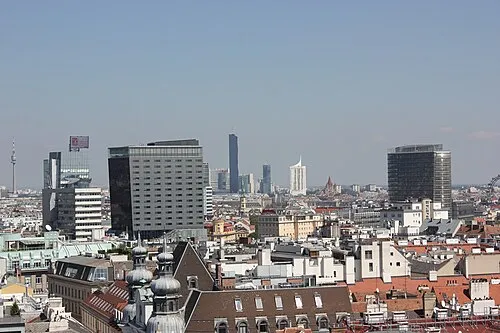 State of Vienna Region, Austria48 km E
-
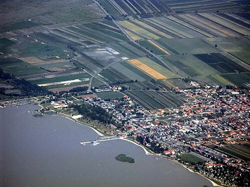 Burgenland Region, Austria105 km SE
-
Sankt Pölten Stadt District, Lower Austria18 km SW
-
Krems an der Donau District, Lower Austria14 km NW
-
Politischer Bezirk Tulln District, Lower Austria19 km E
-
Politischer Bezirk Sankt Pölten District, Lower Austria19 km S
Sources & licences
Data last updated: · 2 independent sources