Sankt Pölten Stadt
Local name: Sankt Pölten
Located in Lower Austria, Austria Coordinates: 48°12′00″ N 15°37′00″ E
- Population
- 54,213
- 54.2K
- Elevation
- 272 m
- above sea level
- Local time
- UTC+01:00
- Europe/Vienna · UTC+01:00
- Places inside
- 1
- listed under Sankt Pölten Stadt
About Sankt Pölten Stadt
Sankt Pölten Stadt is a district. Location: Lower Austria, Austria. Population: 54,213.
Sankt Pölten (Austrian German pronunciation: [saŋkt ˈpœltn̩] ; Central Bavarian: Sankt Pödn), mostly abbreviated to the official name St. Pölten, is the capital and largest city of the State of Lower Austria in northeast Austria, with 59,767 inhabitants as of 1 January 2025. St. Pölten is a city with its own statute (or Statutarstadt) and therefore it is both a municipality and a district in the Mostviertel.
Read more on Wikipedia Text: Wikipedia contributors · CC BY-SA 4.0 · shortened
At a glance
- Area
- 108 km²
Source: Wikidata
In comparison
- 3 sights and natural places within 10 km Kamin der Glanzstoffwerke Sankt Pölten, Schloss Fridau
Places in Sankt Pölten Stadt
1 place-
St. Pölten Municipality54.2K
Nature and heritage in Sankt Pölten Stadt
-
Schildberg Mountain, St. Pölten
-
Kamin der Glanzstoffwerke Sankt Pölten Landmark, St. Pölten
Nearby attractions & nature
Everything nearby-
Schloss Fridau Historic site, Ober-Grafendorf7.2 km SW
-
Dunkelsteiner Wald Natural site, Lower Austria11 km NW
-
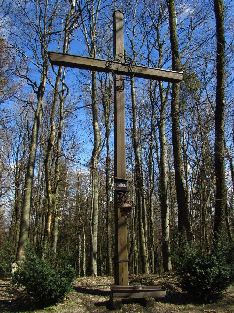 Hegerberg Mountain, Kasten bei Böheimkirchen14 km SE
-
Sierning River, Lower Austria12 km W
-
Ammering Mountain, Wölbling14 km N
-
Haspelwald Natural site, Lower Austria15 km E
Sources & licences
Data last updated: · 2 independent sources