St. Pölten
Located in Sankt Pölten Stadt, Lower Austria Coordinates: 48°11′53″ N 15°38′35″ E
- Population
- 54,213
- 54.2K
- Elevation
- 271 m
- above sea level
- Local time
- UTC+01:00
- Europe/Vienna · UTC+01:00
- Places inside
- 46
- listed under St. Pölten
About St. Pölten
St. Pölten is a municipality. Location: Sankt Pölten Stadt, Lower Austria. Population: 54,213. Elevation: 271 m.
In comparison
- Nearest larger town: Penzing, 46 km E
- 3 sights and natural places within 10 km Kamin der Glanzstoffwerke Sankt Pölten, Schildberg
- Listed here: Neighbourhood: 22, Village: 21, City: 1, Landmark: 1
Places in St. Pölten
46 places-
Sankt Pölten City21.9K
-
Spratzern Neighbourhood6.4K
-
Viehofen Neighbourhood4.5K
-
Oberwagram Neighbourhood4.1K
-
Pottenbrunn Neighbourhood2.4K
-
Unterwagram Neighbourhood2.3K
-
Stattersdorf Neighbourhood2K
-
Ratzersdorf an der Traisen Neighbourhood1.6K
-
Harland Village1.5K
-
Hart Village1.2K
-
Eggendorf Village1.2K
-
Unterradlberg Neighbourhood783
-
Ragelsdorf Neighbourhood679
-
Teufelhof Neighbourhood574
-
Mühlgang Neighbourhood538
-
Oberradlberg Neighbourhood477
-
Sankt Georgen am Steinfelde Village349
-
Ochsenburg Village330
-
Weitern Village165
-
Völtendorf Neighbourhood132
-
Altmannsdorf Neighbourhood124
-
Steinfeld Neighbourhood118
-
Pummersdorf Village100
-
Ganzendorf Village89
-
Nadelbach Neighbourhood75
-
Witzendorf Neighbourhood74
-
Oberzwischenbrunn Neighbourhood70
-
Wörth Neighbourhood68
-
Pengersdorf Neighbourhood66
-
Wasserburg Neighbourhood64
-
Windpassing Village58
-
Zwerndorf Village53
-
Unterzwischenbrunn Village35
-
Hafing Village33
-
Matzersdorf Village29
-
Kreisberg Neighbourhood23
-
Wolfenberg Village17
-
Wetzersdorf Village12
-
Reitzersdorf Village3
-
Gattmannsdorf Village
-
Oberratzersdorf Village
-
Radlberg Village
-
Schildberg Mountain
-
Unterratzersdorf Village
-
Weidern Village
Nearby attractions & nature
Everything nearby-
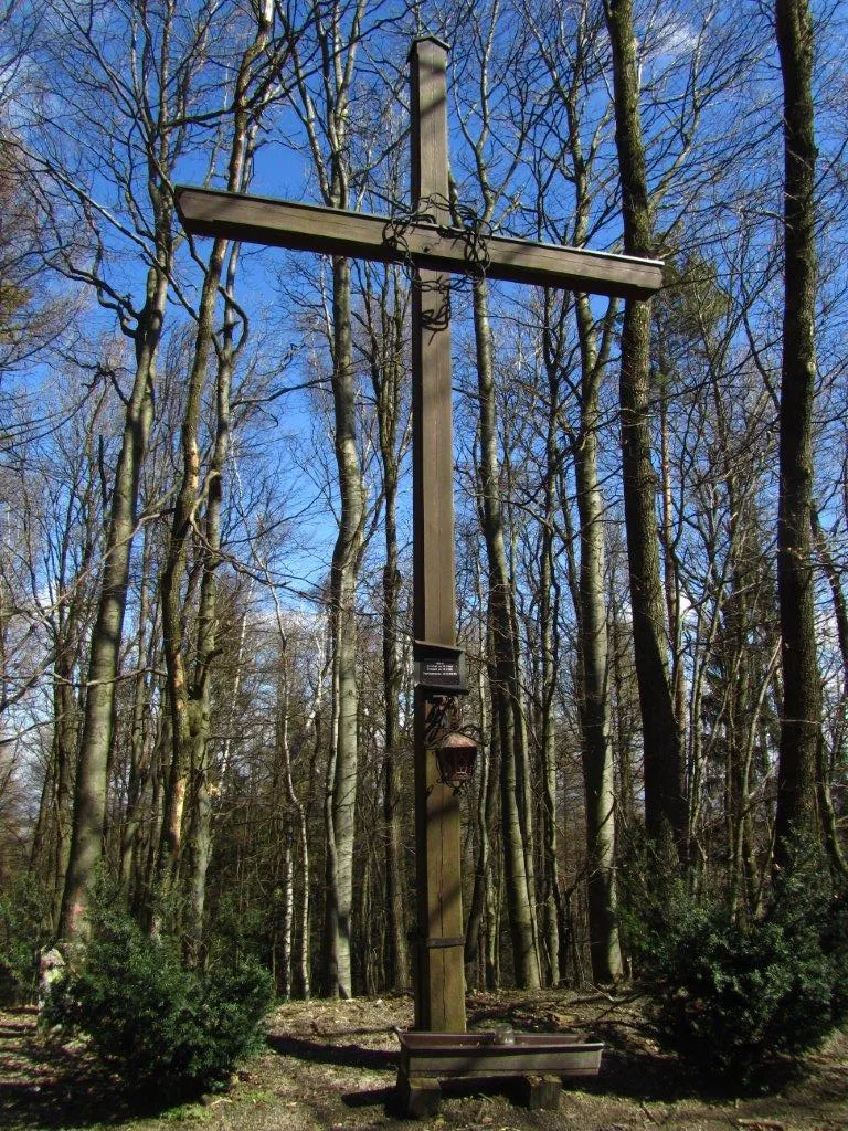 Hegerberg Mountain, Kasten bei Böheimkirchen12 km SE
-
Schloss Fridau Historic site, Ober-Grafendorf8.4 km SW
-
Kirchmayer Höhe Mountain, Pyhra11 km S
-
Ammering Mountain, Wölbling15 km NW
-
Frauenberg Mountain, Weißenkirchen an der Perschling13 km E
-
Filialkirche hl. Veit, Kirchstetten (Kirchstetten parish church) Attraction, Kirchstetten13 km E
-
Hohenegg Historic site, Hafnerbach13 km NW
-
Dunkelsteiner Wald Natural site, Lower Austria13 km NW
Sources & licences
Data last updated: