Vorderhütteneck
Located in Ramingstein, Tamsweg District Coordinates: 46°59′45″ N 13°51′38″ E
- Elevation
- 2,166 m
- above sea level
- Local time
- UTC+01:00
- Europe/Vienna · UTC+01:00
- Airports
- KLU Klagenfurt Airport54 km
- LJU Ljubljana Jože Pučnik Airport97 km
About Vorderhütteneck
Vorderhütteneck is a mountain. Location: Ramingstein, Tamsweg District. Elevation: 2,166 m. The nearest airport is Klagenfurt Airport (54 km). Nearby sights include Kilnprein and Rotofen.
Photos of Vorderhütteneck
-
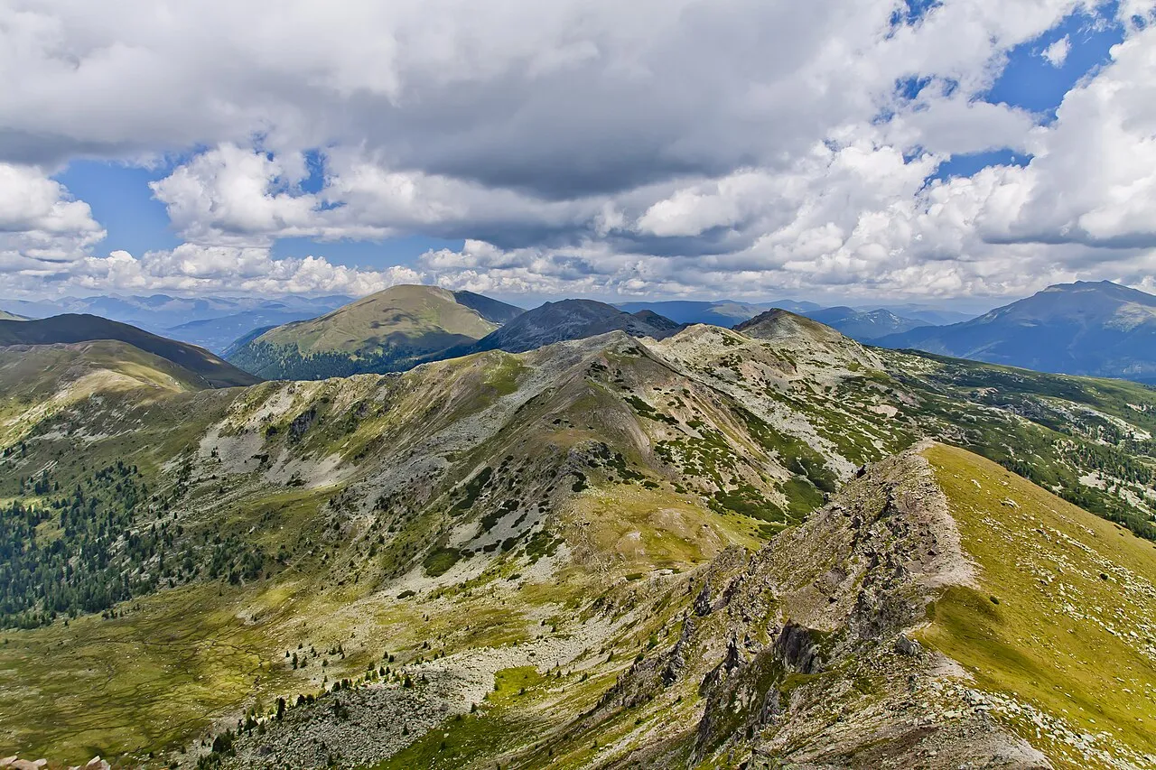
Reisseck emax · CC BY 3.0 -
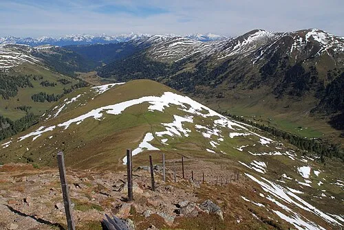
Ochsenriegel Tigerente · CC BY-SA 4.0 -
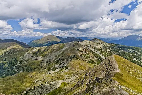
Mühlbachernock emax · CC BY 3.0 -
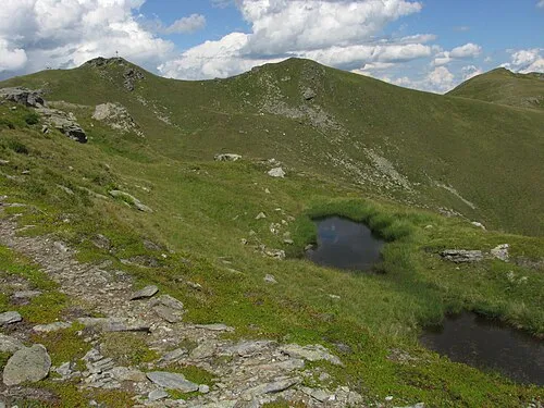
Kleiner Königstuhl Kuhni74 · CC BY-SA 4.0 -
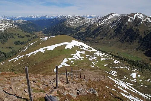
Schilcher Nock Tigerente · CC BY-SA 4.0


Climate of Vorderhütteneck
This month · November
A wet month
Day -1° · Night -8° · Rain 145 mm
- Hottest month
- July (day 12°)
- Coldest month
- February (night -13°)
- Wettest month
- July (193 mm)
- Driest month
- February (79 mm)
Bars: average monthly low and high temperature. Below: precipitation. Monthly averages for 1970–2000 at about 18 km resolution, adjusted for elevation. Highlighted months are mild and relatively dry. Source: WorldClim 2.1 (CC BY 4.0).
Show values as a table
| Month | Jan | Feb | Mar | Apr | May | Jun | Jul | Aug | Sep | Oct | Nov | Dec |
|---|---|---|---|---|---|---|---|---|---|---|---|---|
| Average high (°C) | -5° | -4° | -2° | 1° | 7° | 10° | 12° | 12° | 9° | 5° | -1° | -4° |
| Average low (°C) | -12° | -13° | -10° | -7° | -3° | 1° | 3° | 3° | 0° | -4° | -8° | -11° |
| Precipitation (mm) | 86 | 79 | 113 | 140 | 150 | 190 | 193 | 170 | 160 | 146 | 145 | 115 |
How to get to Vorderhütteneck
The nearest airport is Klagenfurt Airport (KLU), 54 km to the southeast as the crow flies. The nearest large city is Klagenfurt, 53 km to the southeast.
Airports
- Klagenfurt Airport (KLU) Klagenfurt am Wörthersee 54 kmsoutheast
- Ljubljana Jože Pučnik Airport (LJU) Zgornji Brnik 97 kmsoutheast
- Salzburg Airport (SZG) Salzburg 110 kmnorthwest
Nearby large cities
- Klagenfurt Population: 100.3K 53 kmsoutheast
- Salzburg Population: 157.2K 109 kmnorthwest
- Ljubljana Population: 272.2K 116 kmsoutheast
- Graz Population: 303.3K 120 kmeast
- Linz Population: 204.8K 149 kmnorth
Straight-line distances; road distances are longer. Airport data: OurAirports.
Day trips from Vorderhütteneck
Within 100 km: 269 historic and cultural sites, 3,530 natural sites, 999 lakes, rivers and coasts.
0–25 km213 places
- Schattensee Lake 22 kmN
- Prebersee Lake 21 kmN
- Hauserersee Lake 16 kmE
- Gurksee Lake 12 kmSE
25–60 km1,492 places
- Hoher Dachstein Mountain 57 kmN
- Planica Natural site 59 kmS
- Seeriessee Lake 40 kmN
- Untersee Lake 44 kmNW
60–100 km3,093 places
- Lake Bohinj Lake 79 kmS
- Lake Bled Lake 73 kmS
- Triglav Mountain 69 kmS
- Rjavina Mountain 67 kmS
Straight-line distances.
Nearest towns and villages
-
Turrach Village, Stadl-Predlitz4.4 km SE
-
Stadl-Predlitz Municipality, Politischer Bezirk Murau6.4 km NE
-
Rosatin Alm Village, Stadl-Predlitz3 km SE
-
Kaiser Village, Stadl-Predlitz3.6 km SE
-
Hannebauer Village, Stadl-Predlitz3.8 km E
-
Ramingstein Village, Ramingstein8.9 km N
Nearby attractions & nature
Everything nearby-
Kilnprein Mountain, State of Salzburg1.7 km SW
-
Rotofen Mountain, Stadl-Predlitz2.4 km N
-
Bärrennock Mountain, Ramingstein3.4 km W
-
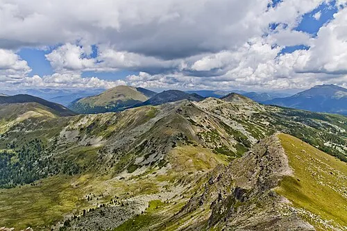 Reisseck Mountain, Stadl-Predlitz3.8 km S
-
Kleiner Königstuhl Mountain, Ramingstein4.1 km NW
-
Feldernock Mountain, Ramingstein3.2 km NW
-
Turrachgraben Natural site, Styria3.8 km NE
-
Ochsenriegel Mountain, Ramingstein4.8 km W
Sources & licences
Data last updated: · 2 independent sources