Großes Gurpitscheck
Located in Tweng, Tamsweg District Coordinates: 47°12′38″ N 13°36′55″ E
- Elevation
- 2,526 m
- above sea level
- Local time
- UTC+01:00
- Europe/Vienna · UTC+01:00
- Airports
- SZG Salzburg Airport79 km
- KLU Klagenfurt Airport84 km
About Großes Gurpitscheck
Großes Gurpitscheck is a mountain. Location: Tweng, Tamsweg District. Elevation: 2,526 m. The nearest airport is Salzburg Airport (79 km). Nearby sights include Kleines Gurpitscheck and Gurpitschegg.
Photos of Großes Gurpitscheck
-
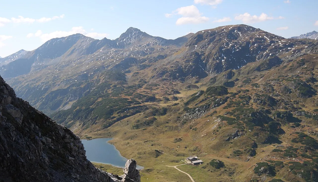
Roßkogel Ewald Gabardi · CC BY-SA 3.0 -
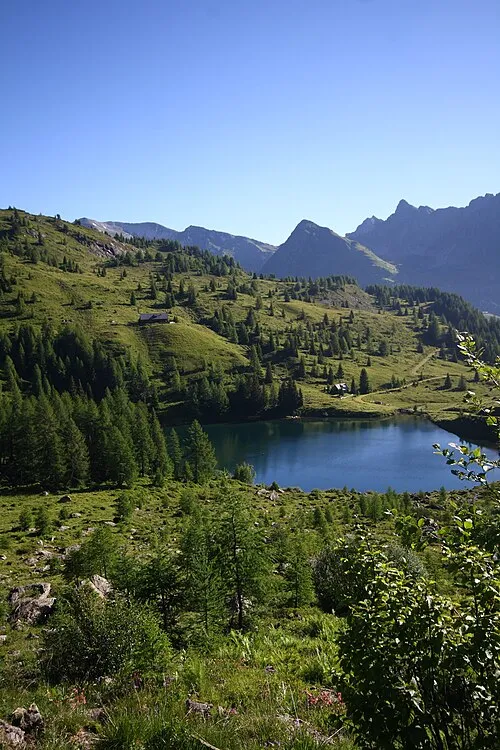
Samerkogel Ewald Gabardi · CC BY-SA 3.0 -
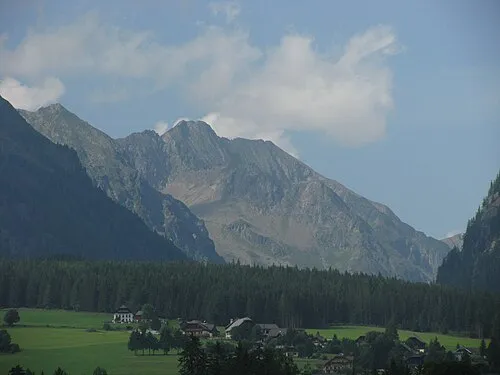
Blutspitze Kuhni74 · CC BY-SA 4.0 -
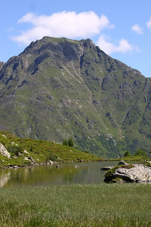
Schusterstuhl Ewald Gabardi · CC BY-SA 3.0 -
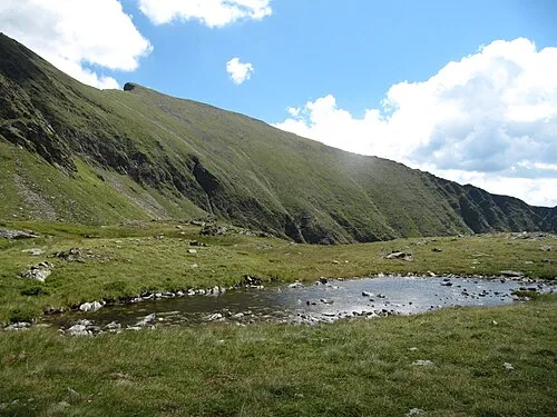
Zehnerkarspitze Limnologus · CC BY-SA 4.0


Climate of Großes Gurpitscheck
This month · November
A wet month
Day -3° · Night -10° · Rain 130 mm
- Hottest month
- July (day 9°)
- Coldest month
- February (night -14°)
- Wettest month
- July (202 mm)
- Driest month
- February (82 mm)
Bars: average monthly low and high temperature. Below: precipitation. Monthly averages for 1970–2000 at about 18 km resolution, adjusted for elevation. Highlighted months are mild and relatively dry. Source: WorldClim 2.1 (CC BY 4.0).
Show values as a table
| Month | Jan | Feb | Mar | Apr | May | Jun | Jul | Aug | Sep | Oct | Nov | Dec |
|---|---|---|---|---|---|---|---|---|---|---|---|---|
| Average high (°C) | -7° | -7° | -5° | -2° | 4° | 7° | 9° | 9° | 6° | 3° | -3° | -6° |
| Average low (°C) | -14° | -14° | -12° | -9° | -5° | -2° | 1° | 1° | -2° | -5° | -10° | -13° |
| Precipitation (mm) | 89 | 82 | 115 | 130 | 145 | 188 | 202 | 176 | 147 | 126 | 130 | 115 |
How to get to Großes Gurpitscheck
The nearest airport is Salzburg Airport (SZG), 79 km to the northwest as the crow flies. The nearest large city is Salzburg, 78 km to the northwest.
Airports
- Salzburg Airport (SZG) Salzburg 79 kmnorthwest
- Klagenfurt Airport (KLU) Klagenfurt am Wörthersee 84 kmsoutheast
- Linz-Hörsching Airport (LNZ) Linz 122 kmnorth
Nearby large cities
- Salzburg Population: 157.2K 78 kmnorthwest
- Klagenfurt Population: 100.3K 84 kmsoutheast
- Linz Population: 204.8K 132 kmnorth
- Graz Population: 303.3K 139 kmeast
- Ljubljana Population: 272.2K 146 kmsoutheast
Straight-line distances; road distances are longer. Airport data: OurAirports.
Day trips from Großes Gurpitscheck
Within 100 km: 333 historic and cultural sites, 4,016 natural sites, 1,176 lakes, rivers and coasts.
0–25 km468 places
- Seeriessee Lake 19 kmNE
- Untersee Lake 16 kmN
- Wildsee Lake 6 kmNE
- Schwarze Lacke Lake 24 kmNE
25–60 km1,713 places
- Hoher Dachstein Mountain 29 kmN
- Kleiner Reitersee Lake 59 kmNE
- Großer Reitersee Lake 59 kmNE
- Tubaysee Lake 58 kmE
60–100 km3,344 places
- Triglav Mountain 94 kmS
- Rjavina Mountain 93 kmS
- Prestreljenik Mountain 95 kmS
- Vršič Mountain 87 kmS
Straight-line distances.
Nearest towns and villages
-
Tweng Village, Tweng3.2 km S
-
Weißpriach Municipality, Tamsweg District3.3 km NE
-
Weißpriach Village, Weißpriach3.4 km E
-
 Obertauern Village, Untertauern6.2 km NW
-
Mariapfarr Municipality, Tamsweg District8.9 km E
-
Mauterndorf Municipality, Tamsweg District9.4 km SE
Nearby attractions & nature
Everything nearby-
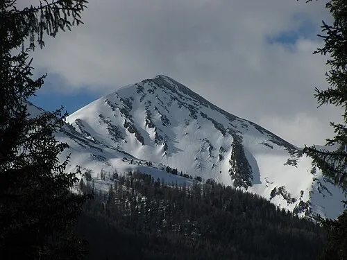 Kleines Gurpitscheck Mountain, Tweng1.1 km SE
-
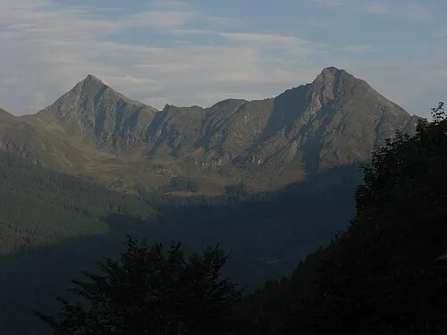 Gurpitschegg Mountain, Tweng1.3 km NW
-
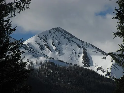 Kleingurpitschegg Mountain, Tweng1.2 km S
-
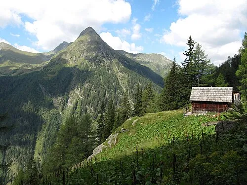 Karnereck Mountain, Weißpriach2.7 km E
-
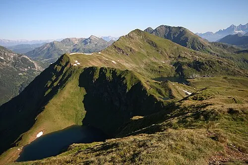 Golitschspitze Mountain, Weißpriach2.8 km NW
-
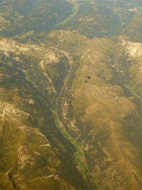 Taurachtal Natural site, State of Salzburg3 km S
-
Unterer Schönalmsee Lake, State of Salzburg2.5 km N
-
Samerkogel Mountain, Weißpriach4.6 km N
More nature in Austria
-
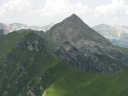 Scharreck Mountain, Tweng5 km S
-
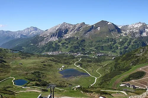 Große Kesselspitze Mountain, Tweng5 km NW
-
Hohe Nock Mountain, Tweng5.1 km W
-
Gamskarlspitze Mountain, Tweng5 km NW
-
Gamsleitenspitze Mountain, Tweng6.1 km NW
-
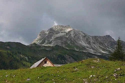 Stampferwand Mountain, Tweng11 km W
Sources & licences
Data last updated: