Mentenkarspitze
Located in Weißpriach, Tamsweg District Coordinates: 47°16′00″ N 13°39′00″ E
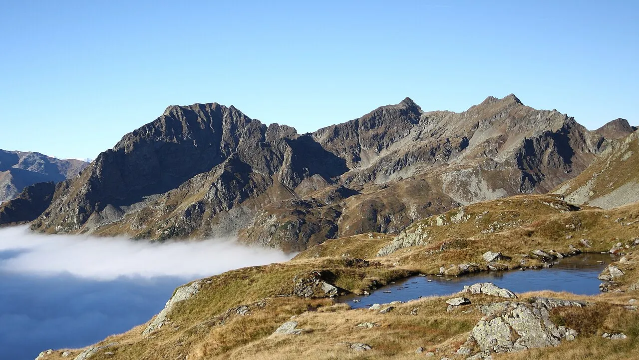
- Elevation
- 1,884 m
- above sea level
- Local time
- UTC+01:00
- Europe/Vienna · UTC+01:00
- Airports
- SZG Salzburg Airport76 km
- KLU Klagenfurt Airport87 km
About Mentenkarspitze
Mentenkarspitze is a mountain. Location: Weißpriach, Tamsweg District. Elevation: 1,884 m. The nearest airport is Salzburg Airport (76 km). Nearby sights include Schatzbühel and Schusterstuhl.
Photos of Mentenkarspitze
-

Clemens Stockner · CC BY-SA 3.0 -

Ewald Gabardi · CC BY-SA 3.0 -

Ewald Gabardi · CC BY-SA 3.0 -
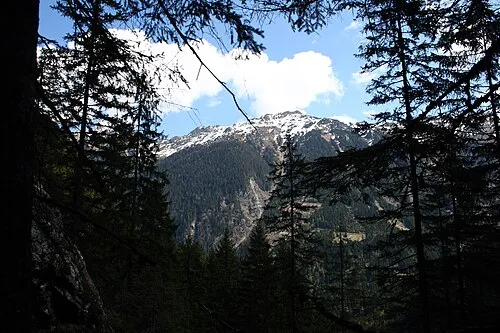
Sonntagkarzinken Ewald Gabardi · CC BY-SA 3.0 -
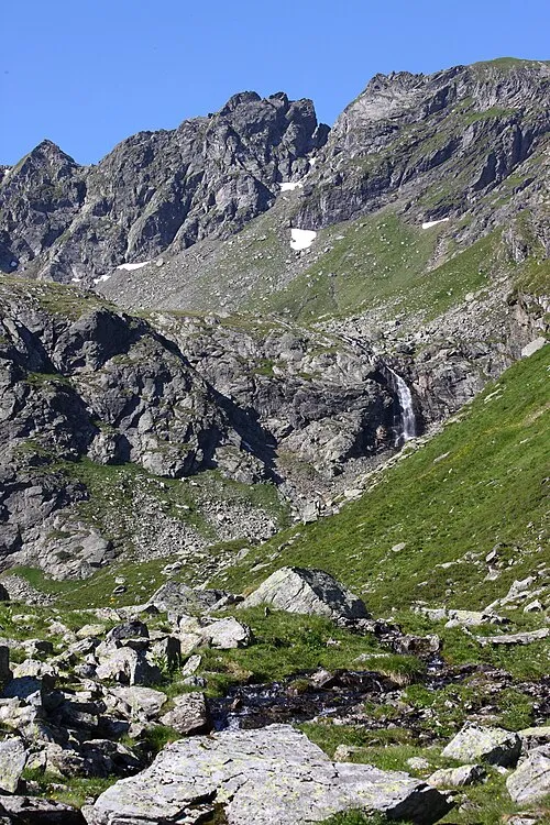
Hinterer Wildkarstein Ewald Gabardi · CC BY-SA 3.0


Climate of Mentenkarspitze
This month · November
A wet month
Day 1° · Night -6° · Rain 130 mm
- Hottest month
- July (day 13°)
- Coldest month
- February (night -10°)
- Wettest month
- July (202 mm)
- Driest month
- February (82 mm)
Bars: average monthly low and high temperature. Below: precipitation. Monthly averages for 1970–2000 at about 18 km resolution, adjusted for elevation. Highlighted months are mild and relatively dry. Source: WorldClim 2.1 (CC BY 4.0).
Show values as a table
| Month | Jan | Feb | Mar | Apr | May | Jun | Jul | Aug | Sep | Oct | Nov | Dec |
|---|---|---|---|---|---|---|---|---|---|---|---|---|
| Average high (°C) | -3° | -3° | -1° | 2° | 8° | 11° | 13° | 13° | 10° | 7° | 1° | -2° |
| Average low (°C) | -10° | -10° | -8° | -5° | -1° | 3° | 5° | 5° | 2° | -1° | -6° | -9° |
| Precipitation (mm) | 89 | 82 | 115 | 130 | 145 | 188 | 202 | 176 | 147 | 126 | 130 | 115 |
How to get to Mentenkarspitze
The nearest airport is Salzburg Airport (SZG), 76 km to the northwest as the crow flies. The nearest large city is Salzburg, 75 km to the northwest.
Airports
- Salzburg Airport (SZG) Salzburg 76 kmnorthwest
- Klagenfurt Airport (KLU) Klagenfurt am Wörthersee 87 kmsoutheast
- Linz-Hörsching Airport (LNZ) Linz 115 kmnorth
Nearby large cities
- Salzburg Population: 157.2K 75 kmnorthwest
- Klagenfurt Population: 100.3K 87 kmsoutheast
- Linz Population: 204.8K 125 kmnorth
- Graz Population: 303.3K 138 kmeast
- Ljubljana Population: 272.2K 150 kmsoutheast
Straight-line distances; road distances are longer. Airport data: OurAirports.
Day trips from Mentenkarspitze
Within 100 km: 343 historic and cultural sites, 3,949 natural sites, 1,171 lakes, rivers and coasts.
0–25 km534 places
- Hoher Dachstein Mountain 23 kmN
- Seeriessee Lake 12 kmNE
- Untersee Lake 10 kmN
- Wildsee Lake 2 kmSE
25–60 km1,771 places
- Klamm Natural site 57 kmNE
- Glohbuckensee Lake 59 kmNE
- Geißrinksee Lake 60 kmE
- Kleiner Reitersee Lake 54 kmE
60–100 km3,158 places
- Triglav Mountain 100 kmS
- Rjavina Mountain 99 kmS
- Vršič Mountain 93 kmS
- Planica Natural site 88 kmS
Straight-line distances.
Nearest towns and villages
-
Weißpriach Village, Weißpriach6.3 km S
-
 Obertauern Village, Untertauern7.2 km W
-
Forstau Municipality, St. Johann im Pongau District9.4 km NW
-
Tweng Municipality, Tamsweg District9.7 km SW
-
Mariapfarr Municipality, Tamsweg District11 km SE
-
Tweng Village, Tweng10 km S
Nearby attractions & nature
Everything nearby-
Schatzbühel Mountain, Weißpriach<0.1 km N
-
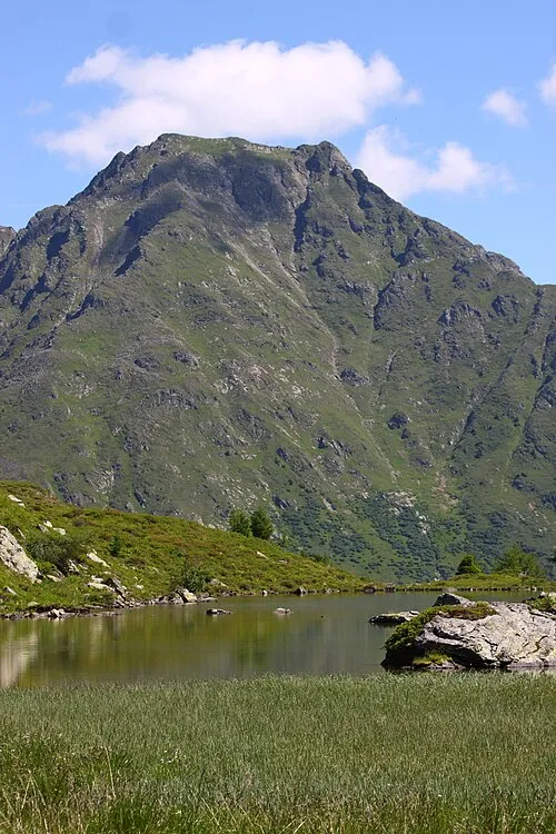 Schusterstuhl Mountain, Weißpriach1.9 km S
-
Stockerscharte Mountain, Weißpriach1.3 km W
-
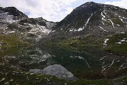 Engelkarspitze Mountain, Schladming2.2 km NE
-
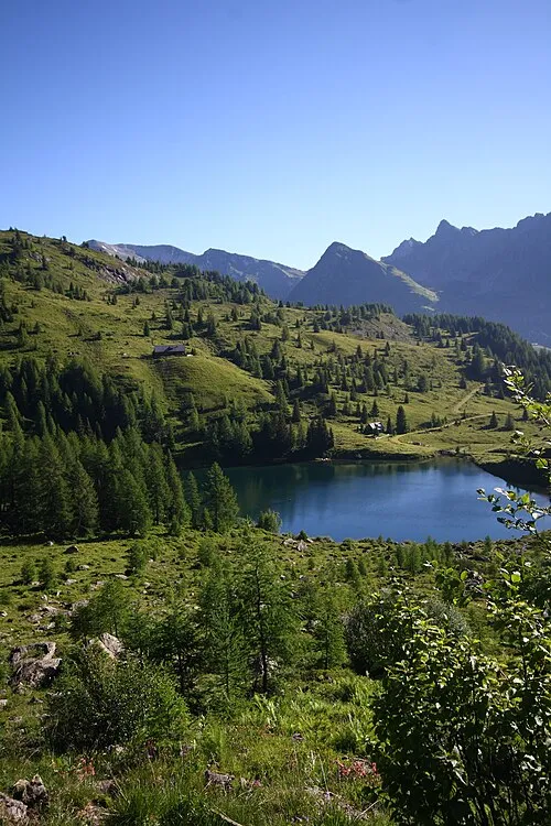 Samerkogel Mountain, Weißpriach2.2 km SW
-
Freying Mountain, Schladming1.9 km N
-
Hading Mountain, Schladming1.9 km N
-
Znachspitze Mountain, Schladming1.9 km N
More nature in Austria
-
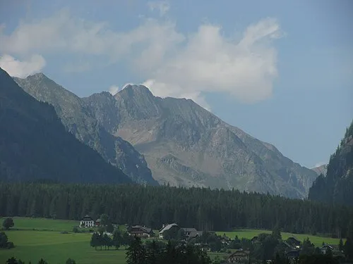 Blutspitze Mountain, Weißpriach3.1 km SE
-
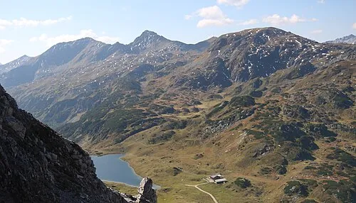 Roßkogel Mountain, Weißpriach5 km W
-
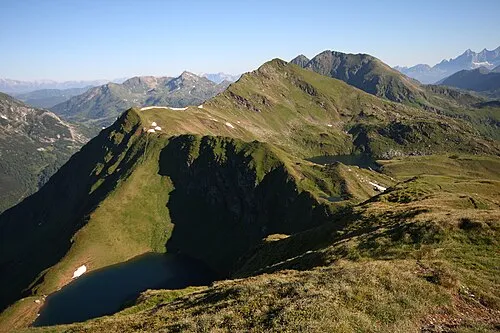 Golitschspitze Mountain, Weißpriach5.3 km SW
-
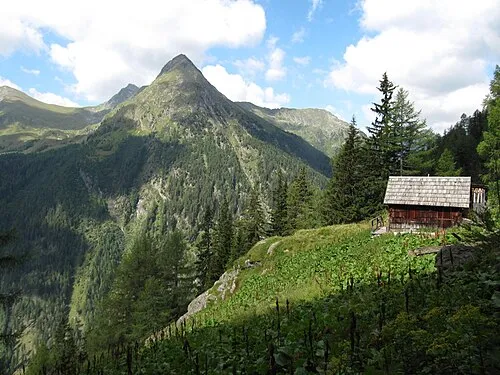 Karnereck Mountain, Weißpriach5.6 km S
-
Brettscharte Mountain, Weißpriach2.5 km E
-
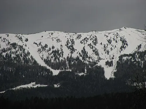 Fanninghöhe Mountain, Weißpriach9.4 km S
Sources & licences
Data last updated: · 2 independent sources