Vorderer Geißlkopf
Located in State of Salzburg, Austria Coordinates: 47°00′48″ N 13°04′22″ E
- Elevation
- 2,974 m
- above sea level
- Local time
- UTC+01:00
- Europe/Vienna · UTC+01:00
- Airports
- SZG Salzburg Airport87 km
- KLU Klagenfurt Airport105 km
About Vorderer Geißlkopf
Vorderer Geißlkopf is a mountain. Location: State of Salzburg, Austria. Elevation: 2,974 m. The nearest airport is Salzburg Airport (87 km). Nearby sights include Vorderer Gesselkopf and Astromspitze.
Photos of Vorderer Geißlkopf
-
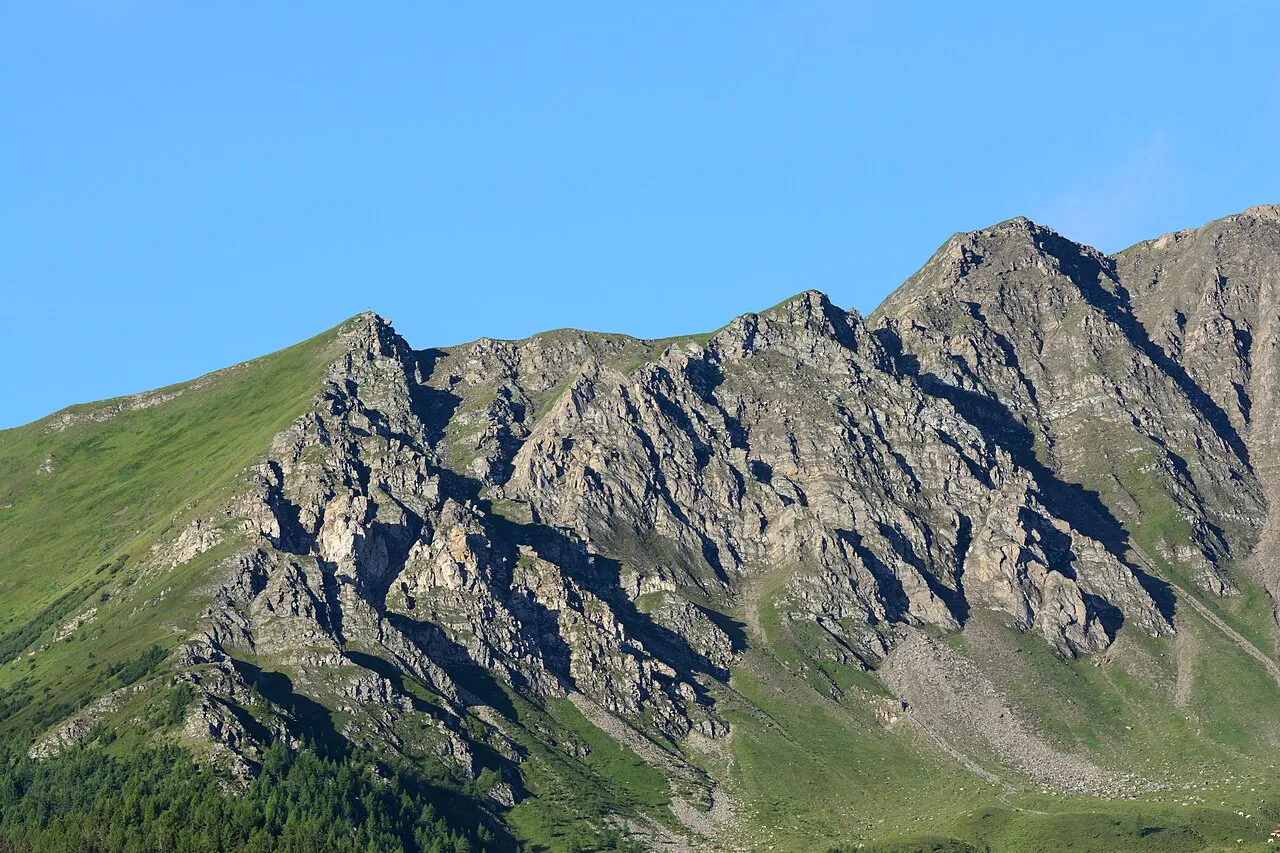
Törlkopf Uoaei1 · CC BY-SA 4.0 -
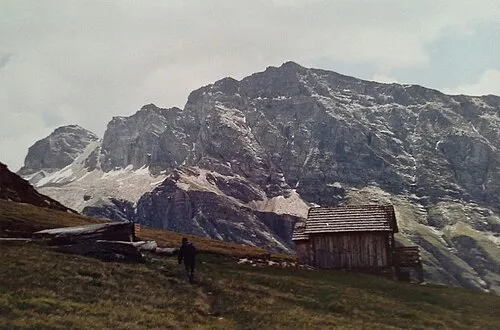
Stellkopf F. Peter Müller · CC BY-SA 4.0 -
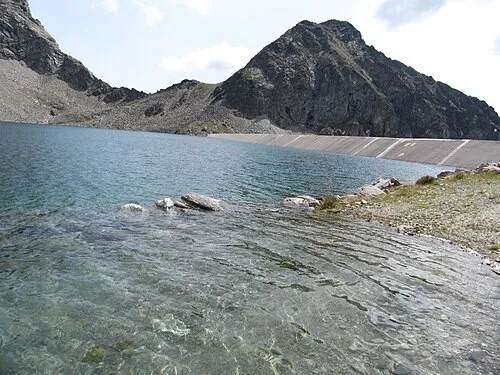
Schwanspitze Limnologus · CC BY-SA 4.0 -
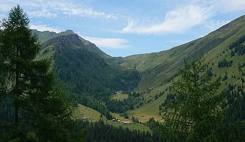
Schobertörl Naturpuur · CC BY 4.0 -
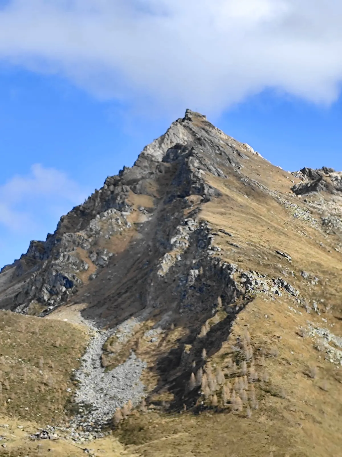
Makernispitze Naturpuur · CC BY-SA 4.0


Climate of Vorderer Geißlkopf
This month · November
A wet month
Day -6° · Night -12° · Rain 119 mm
- Hottest month
- July (day 7°)
- Coldest month
- February (night -17°)
- Wettest month
- July (183 mm)
- Driest month
- February (75 mm)
Bars: average monthly low and high temperature. Below: precipitation. Monthly averages for 1970–2000 at about 18 km resolution, adjusted for elevation. Highlighted months are mild and relatively dry. Source: WorldClim 2.1 (CC BY 4.0).
Show values as a table
| Month | Jan | Feb | Mar | Apr | May | Jun | Jul | Aug | Sep | Oct | Nov | Dec |
|---|---|---|---|---|---|---|---|---|---|---|---|---|
| Average high (°C) | -10° | -9° | -7° | -4° | 1° | 5° | 7° | 7° | 4° | 0° | -6° | -9° |
| Average low (°C) | -16° | -17° | -14° | -12° | -7° | -4° | -2° | -1° | -4° | -8° | -12° | -15° |
| Precipitation (mm) | 81 | 75 | 102 | 116 | 135 | 169 | 183 | 165 | 133 | 117 | 119 | 99 |
How to get to Vorderer Geißlkopf
The nearest airport is Salzburg Airport (SZG), 87 km to the north as the crow flies. The nearest large city is Salzburg, 87 km to the north.
Airports
- Salzburg Airport (SZG) Salzburg 87 kmnorth
- Klagenfurt Airport (KLU) Klagenfurt am Wörthersee 105 kmsoutheast
- Innsbruck Airport (INN) Innsbruck 134 kmwest
Nearby large cities
- Salzburg Population: 157.2K 87 kmnorth
- Klagenfurt Population: 100.3K 104 kmsoutheast
- Innsbruck Population: 132.5K 130 kmwest
- Ljubljana Population: 272.2K 153 kmsoutheast
- Munich Population: 1.5M 168 kmnorthwest
Straight-line distances; road distances are longer. Airport data: OurAirports.
Day trips from Vorderer Geißlkopf
Within 100 km: 223 historic and cultural sites, 4,048 natural sites, 967 lakes, rivers and coasts.
0–25 km380 places
- Vorderer Langtalsee Lake 22 kmW
- Brettersee Lake 20 kmNW
- Kachelsee Lake 20 kmW
- Zirmsee Lake 12 kmNW
25–60 km1,978 places
- Sille River 55 kmSW
- Fürlegsee Lake 37 kmW
- Untersee Lake 55 kmNE
- Wildsee Lake 52 kmNE
60–100 km2,880 places
- Hoher Dachstein Mountain 65 kmNE
- Triglav Mountain 92 kmSE
- Rjavina Mountain 93 kmSE
- Prestreljenik Mountain 79 kmSE
Straight-line distances.
Nearest towns and villages
-
Flattach Municipality, Spittal an der Drau District5.2 km S
-
Innerfragant Village, Flattach5.5 km S
-
Bad Gastein Municipality, St. Johann im Pongau District8.9 km NE
-
Mallnitz Village, Mallnitz7.6 km E
-
Mallnitz Municipality, Spittal an der Drau District9.3 km E
-
Stappitz Village, Mallnitz8.4 km E
Nearby attractions & nature
Everything nearby-
Vorderer Gesselkopf Mountain, Flattach<0.1 km NW
-
Astromspitze Mountain, Mallnitz1.7 km SE
-
Feldseekopf Mountain, Flattach1.3 km S
-
Goldberggruppe Mountain, Austria1.7 km SE
-
Feldsee Lake, Flattach1.6 km SW
-
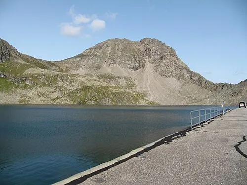 Böseck Mountain, Mallnitz3.7 km SE
-
Schwanspitze Mountain, Flattach3.9 km SE
-
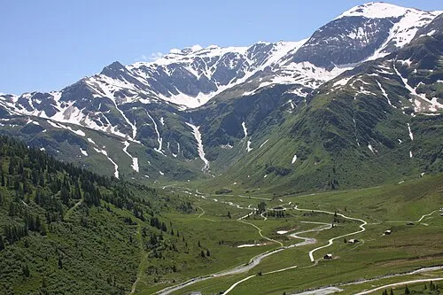 Nassfeld Natural site, State of Salzburg4.4 km NW
More nature in Austria
-
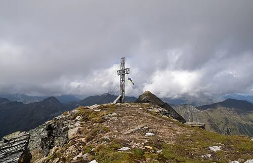 Kreuzkogel Mountain, Bad Gastein5 km NE
-
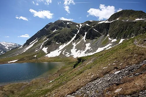 Kolmkarspitze Mountain, Bad Gastein7.3 km N
-
Weinflaschenkopf Mountain, Bad Gastein3.7 km NW
-
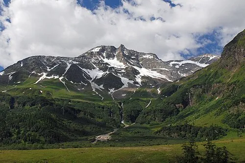 Hoher Sonnblick Mountain, Rauris9.9 km NW
-
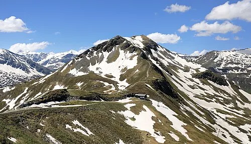 Zitterauer Tisch Mountain, Bad Hofgastein9.7 km N
-
Rosskarkopf Mountain, Bad Gastein7.1 km NE
Sources & licences
Data last updated: