Sommersbergkogel
Located in Bad Aussee, Liezen District Coordinates: 47°37′00″ N 13°44′00″ E
- Elevation
- 851 m
- above sea level
- Local time
- UTC+01:00
- Europe/Vienna · UTC+01:00
- Airports
- SZG Salzburg Airport58 km
- LNZ Linz-Hörsching Airport77 km
About Sommersbergkogel
Sommersbergkogel is a mountain. Location: Bad Aussee, Liezen District. Elevation: 851 m. The best months to visit are June–August. The nearest airport is Salzburg Airport (58 km). Nearby sights include Sommersbergsee and Ischlkogel.
Photos of Sommersbergkogel
-
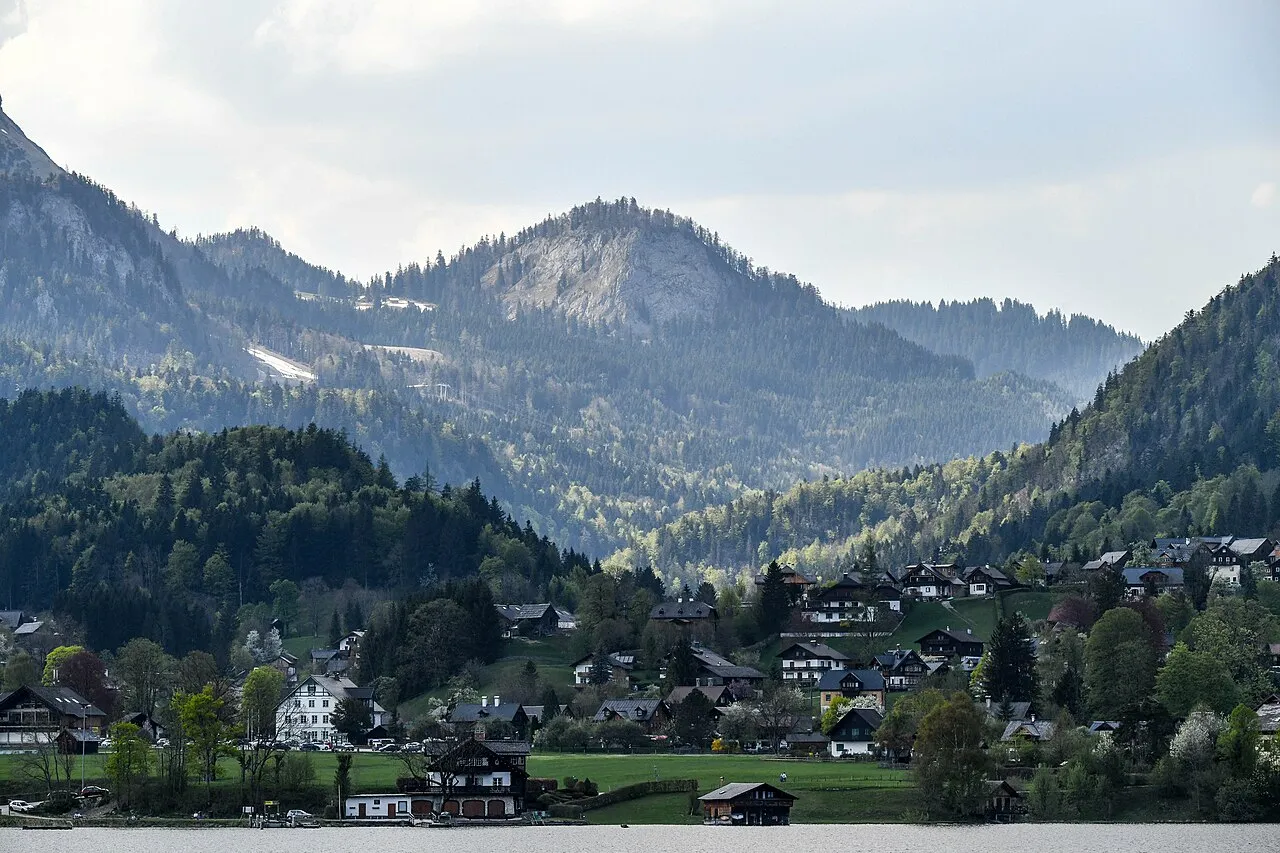
Pötschenstein Bernhard Holub · CC BY-SA 4.0 -
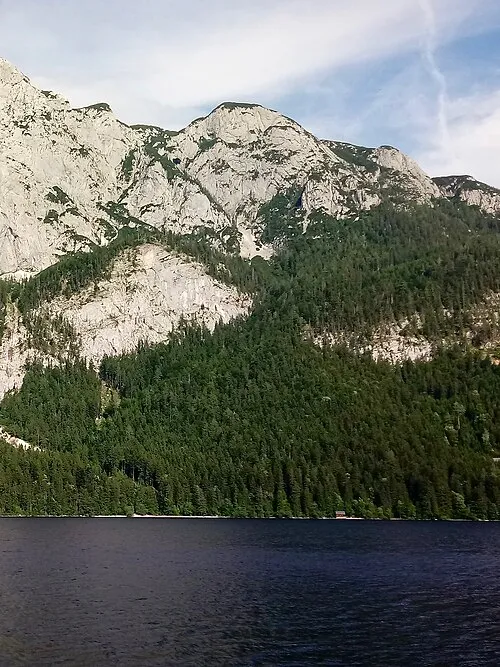
Ahornkogel Funke · CC BY-SA 4.0 -
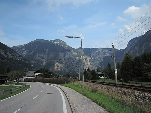
Rauer Koppen IIya Kuzhekin · CC BY 3.0 -
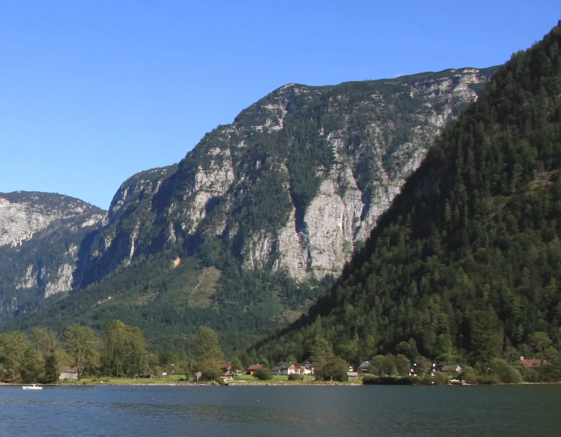
Hageneck Karelj · Public domain -
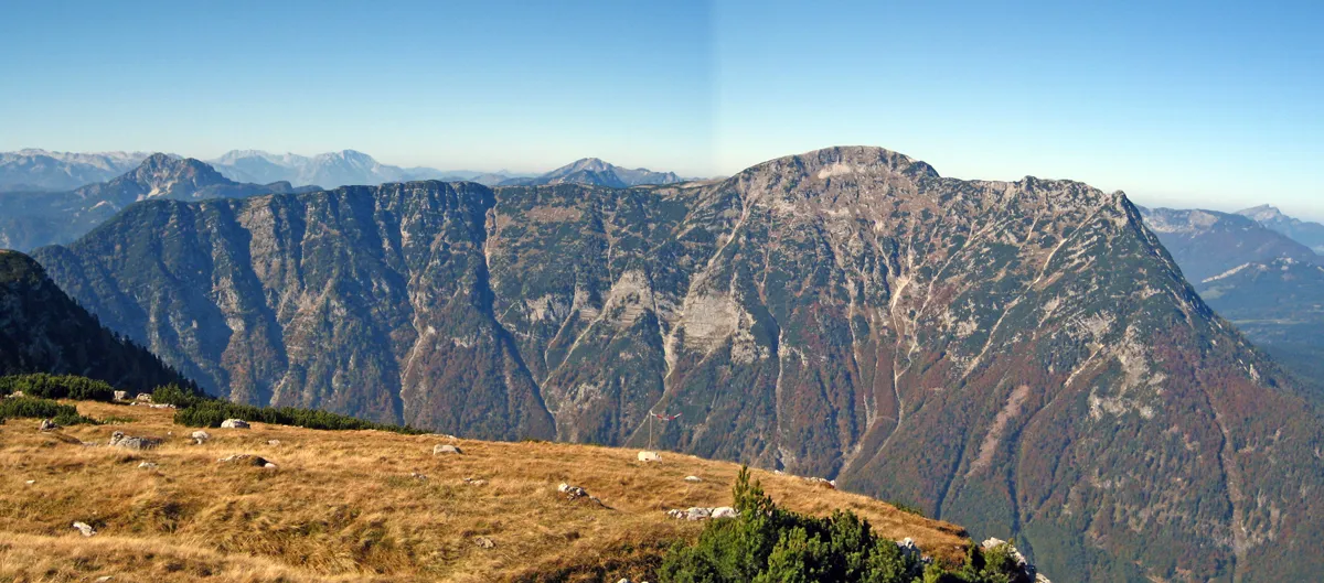
Hoher Sarstein Grimsvoetn · Public domain


Climate of Sommersbergkogel
Best months for sightseeingBest months for sightseeing: June–August.
This month · November
A wet month
Day 6° · Night -1° · Rain 105 mm
- Hottest month
- July (day 20°)
- Coldest month
- January (night -5°)
- Wettest month
- July (195 mm)
- Driest month
- February (78 mm)
Bars: average monthly low and high temperature. Below: precipitation. Monthly averages for 1970–2000 at about 18 km resolution, adjusted for elevation. Highlighted months are mild and relatively dry. Source: WorldClim 2.1 (CC BY 4.0).
Show values as a table
| Month | Jan | Feb | Mar | Apr | May | Jun | Jul | Aug | Sep | Oct | Nov | Dec |
|---|---|---|---|---|---|---|---|---|---|---|---|---|
| Average high (°C) | 2° | 3° | 6° | 10° | 15° | 18° | 20° | 20° | 17° | 13° | 6° | 3° |
| Average low (°C) | -5° | -4° | -2° | 1° | 6° | 9° | 11° | 11° | 8° | 4° | -1° | -4° |
| Precipitation (mm) | 87 | 78 | 107 | 106 | 124 | 175 | 195 | 165 | 127 | 97 | 105 | 109 |
How to get to Sommersbergkogel
The nearest airport is Salzburg Airport (SZG), 58 km to the west as the crow flies. The nearest large city is Salzburg, 56 km to the west.
Airports
- Salzburg Airport (SZG) Salzburg 58 kmwest
- Linz-Hörsching Airport (LNZ) Linz 77 kmnortheast
- Klagenfurt Airport (KLU) Klagenfurt am Wörthersee 118 kmsoutheast
Nearby large cities
- Salzburg Population: 157.2K 56 kmwest
- Linz Population: 204.8K 87 kmnortheast
- Klagenfurt Population: 100.3K 119 kmsouth
- Graz Population: 303.3K 143 kmsoutheast
- Munich Population: 1.5M 171 kmwest
Straight-line distances; road distances are longer. Airport data: OurAirports.
Day trips from Sommersbergkogel
Within 100 km: 290 historic and cultural sites, 3,342 natural sites, 1,086 lakes, rivers and coasts.
0–25 km625 places
- Hoher Dachstein Mountain 18 kmSW
- Augstsee Lake 7 kmNE
- Ostersee Lake 6 kmNE
- Sommersbergsee Lake 1 kmN
25–60 km1,708 places
- Klamm Natural site 45 kmE
- Seeriessee Lake 30 kmS
- Untersee Lake 31 kmS
- Wildsee Lake 41 kmS
60–100 km2,385 places
- Gusen I Concentration Camp Historic site 90 kmNE
- Fürlegsee Lake 100 kmSW
- Vorderer Langtalsee Lake 99 kmSW
- Wildsee Lake 91 kmSE
Straight-line distances.
Nearest towns and villages
-
Sarstein Village, Bad Aussee1.9 km S
-
Reitern Neighbourhood, Bad Aussee2.2 km SE
-
Lupitsch Village, Altaussee1.5 km N
-
Lichtersberg Village, Altaussee1.9 km N
-
Lerchenreith Neighbourhood, Bad Aussee3.4 km SE
-
Bad Aussee Village, Bad Aussee3.8 km E
Nearby attractions & nature
Everything nearby-
Sommersbergsee Lake, Styria<0.1 km N
-
Ischlkogel Mountain, Bad Aussee1.3 km E
-
Dimmelberg Mountain, Altaussee1.9 km N
-
Klammeckkogel Mountain, Altaussee2.2 km NW
-
Hoher Sarstein Mountain, Bad Aussee3.1 km SW
-
Planwald Natural site, Styria2.2 km SE
-
Schwarzkogel Mountain, Altaussee2.5 km W
-
Plattenkogel Mountain, Altaussee3.1 km NE
More nature in Austria
-
Rauer Koppen Mountain, Bad Aussee5.7 km S
-
Niederer Sarstein Mountain, Bad Aussee3.1 km SW
-
Dirndl Mountain, Bad Aussee3.7 km S
-
Feuerkogel Mountain, Bad Aussee3.9 km S
-
Eislochkogel Mountain, Bad Aussee4.5 km SE
-
Zinken Kogel Mountain, Bad Aussee4.6 km SE
Sources & licences
Data last updated: