Stattegg
Located in Politischer Bezirk Graz-Umgebung, Styria Coordinates: 47°09′26″ N 15°25′38″ E
- Population
- 2,866
- 2.9K
- Elevation
- 738 m
- above sea level
- Local time
- UTC+01:00
- Europe/Vienna · UTC+01:00
- Places inside
- 22
- listed under Stattegg
- Airports
- GRZ Graz Airport18 km
- MBX Maribor Edvard Rusjan Airport78 km
About Stattegg
Stattegg is a municipality. Location: Politischer Bezirk Graz-Umgebung, Styria. Population: 2,866. Elevation: 738 m. The best months to visit are June–August. The nearest airport is Graz Airport (18 km). Nearby sights include Hohenberg and Erharthöhe.
Climate of Stattegg
Best months for sightseeingBest months for sightseeing: June–August.
This month · November
A cold month
Day 5° · Night -2° · Rain 57 mm
- Hottest month
- July (day 23°)
- Coldest month
- January (night -7°)
- Wettest month
- July (126 mm)
- Driest month
- January (27 mm)
Bars: average monthly low and high temperature. Below: precipitation. Monthly averages for 1970–2000 at about 18 km resolution, adjusted for elevation. Highlighted months are mild and relatively dry. Source: WorldClim 2.1 (CC BY 4.0).
Show values as a table
| Month | Jan | Feb | Mar | Apr | May | Jun | Jul | Aug | Sep | Oct | Nov | Dec |
|---|---|---|---|---|---|---|---|---|---|---|---|---|
| Average high (°C) | 1° | 3° | 8° | 13° | 18° | 21° | 23° | 22° | 18° | 12° | 5° | 1° |
| Average low (°C) | -7° | -6° | -2° | 2° | 7° | 10° | 12° | 11° | 7° | 3° | -2° | -6° |
| Precipitation (mm) | 27 | 34 | 49 | 56 | 86 | 120 | 126 | 117 | 84 | 66 | 57 | 40 |
How to get to Stattegg
The nearest airport is Graz Airport (GRZ), 18 km to the south as the crow flies. The nearest large city is Graz, 10 km to the south.
Airports
- Graz Airport (GRZ) Feldkirchen bei Graz 18 kmsouth
- Maribor Edvard Rusjan Airport (MBX) Maribor 78 kmsouth
- Klagenfurt Airport (KLU) Klagenfurt am Wörthersee 101 kmsouthwest
Nearby large cities
- Graz Population: 303.3K 10 kmsouth
- Klagenfurt Population: 100.3K 104 kmsouthwest
- Linz Population: 204.8K 154 kmnorthwest
- Zagreb Population: 663.6K 155 kmsouth
- Győr Population: 129.3K 177 kmeast
Straight-line distances; road distances are longer. Airport data: OurAirports.
Places in Stattegg
22 places- 1 Hub 594
- 2 Ursprung 576
- 3 Mühl 288
- 4 Hochgreit 253
- 5 Eichberg 234
- 6 Rannach 167
- 7 Hohenberg 99
- 8 Leber 77
- 9 Buch 70
- 10 Kalkleiten 52
- 11 Steingraben 22
Bar: population relative to the most populous place in this list.
Cities & villages3
- Fuß der Leber · Village
- Rohrerberg · Village
- Stattegg · Village
Mountains & nature7
- Buchniklkogel · Mountain
- Gsöllberg · Mountain
- Kollerniklkogel · Mountain
- Kreuzkogel · Mountain
- Marxenkogel · Mountain
- Nieder Schöckl · Mountain
- Rannachbauerkogel · Mountain
Heritage & sights1
- Maria Schutz · Attraction
Nearby attractions & nature
Everything nearby-
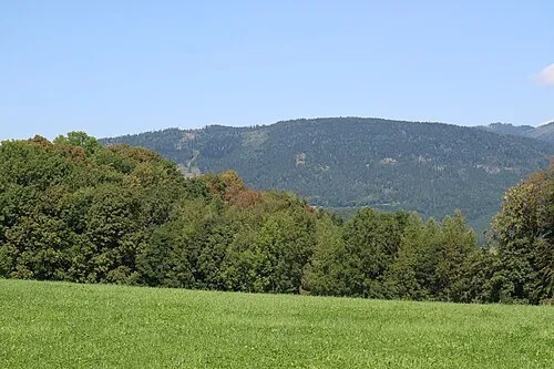 Hohenberg Mountain, Sankt Radegund bei Graz2 km NE
-
Erharthöhe Mountain, Sankt Radegund bei Graz2 km NE
-
Hohe Rannach Mountain, Gratkorn2.3 km NW
-
Fuchskogel Mountain, Gratkorn2.3 km NW
-
Geierkogel Mountain, Gratkorn2.3 km NW
-
Schöberlkogel Mountain, Gratkorn2.3 km NW
-
Andritz Ursprung Natural site, Styria2.7 km S
-
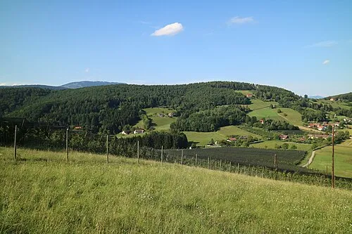 Lineck Berg Mountain, Andritz4.1 km SE
Sources & licences
Data last updated: