Tschadinhörndl
Located in Matrei in Osttirol, Politischer Bezirk Lienz Coordinates: 47°01′55″ N 12°35′27″ E
- Elevation
- 2,627 m
- above sea level
- Local time
- UTC+01:00
- Europe/Vienna · UTC+01:00
- Airports
- SZG Salzburg Airport90 km
- INN Innsbruck Airport98 km
About Tschadinhörndl
Tschadinhörndl is a mountain. Location: Matrei in Osttirol, Politischer Bezirk Lienz. Elevation: 2,627 m. The nearest airport is Salzburg Airport (90 km). Nearby sights include Bretterwandspitze and Kendlspitze.
Photos of Tschadinhörndl
-
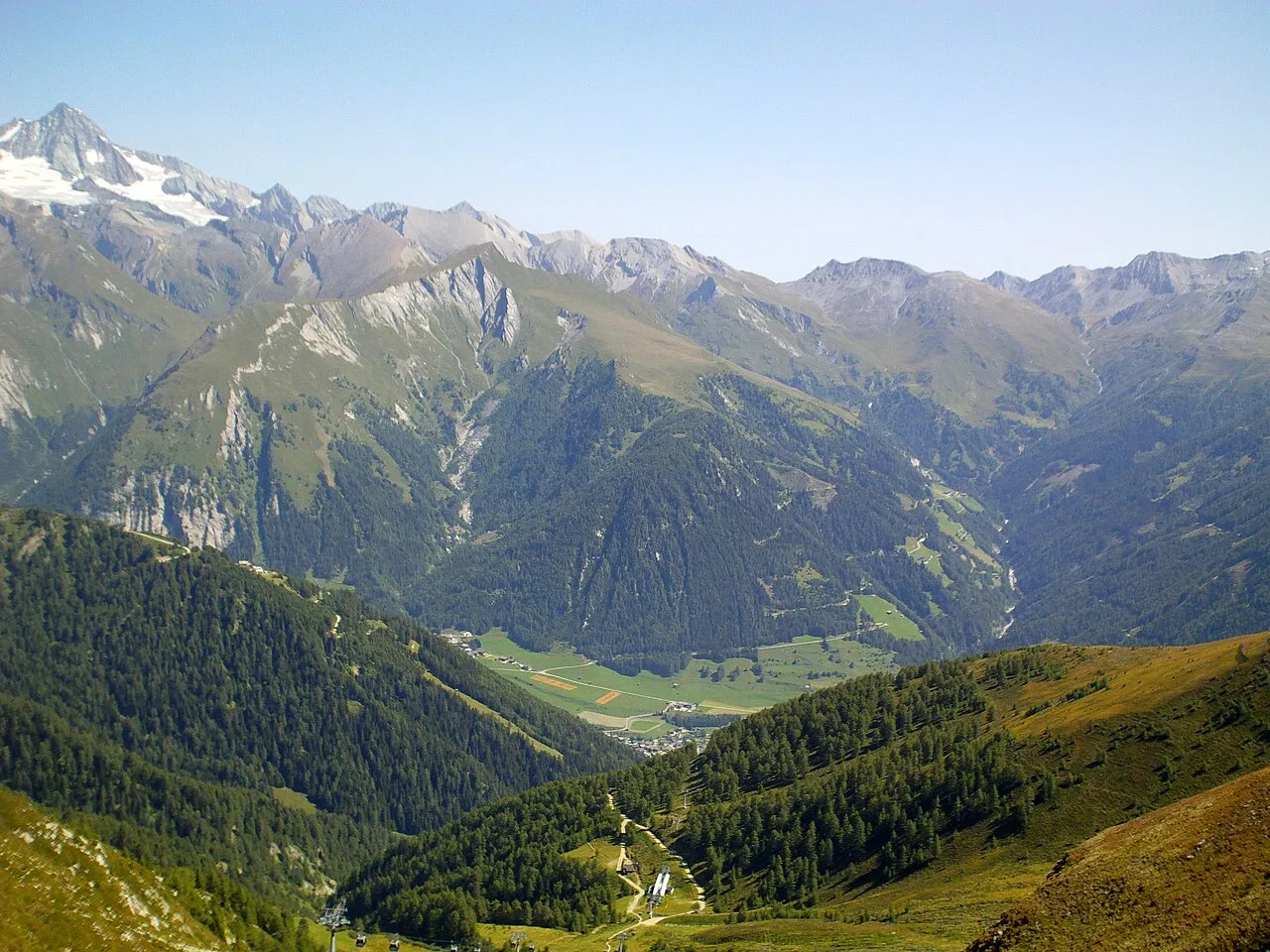
Figerhorn Zygintas · CC BY-SA 3.0 -
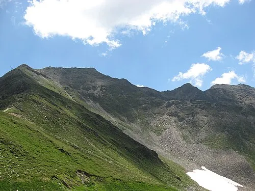
Roter Kogel Clemens Stockner · CC BY-SA 3.0 -
Pohleshöhe Michael Kranewitter · CC BY-SA 4.0 -
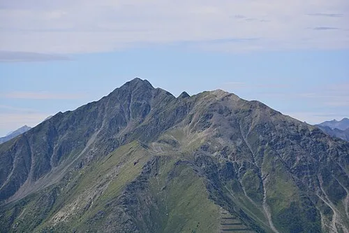
Gorner Michael Kranewitter · CC BY-SA 4.0 -
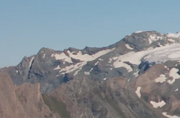
Gramul Michael Kranewitter, Vienna · CC BY 3.0


Climate of Tschadinhörndl
This month · November
A wet month
Day -3° · Night -9° · Rain 113 mm
- Hottest month
- July (day 9°)
- Coldest month
- February (night -13°)
- Wettest month
- July (170 mm)
- Driest month
- February (78 mm)
Bars: average monthly low and high temperature. Below: precipitation. Monthly averages for 1970–2000 at about 18 km resolution, adjusted for elevation. Highlighted months are mild and relatively dry. Source: WorldClim 2.1 (CC BY 4.0).
Show values as a table
| Month | Jan | Feb | Mar | Apr | May | Jun | Jul | Aug | Sep | Oct | Nov | Dec |
|---|---|---|---|---|---|---|---|---|---|---|---|---|
| Average high (°C) | -7° | -7° | -5° | -2° | 3° | 7° | 9° | 9° | 6° | 2° | -3° | -6° |
| Average low (°C) | -13° | -13° | -11° | -9° | -4° | -1° | 1° | 2° | -1° | -4° | -9° | -12° |
| Precipitation (mm) | 82 | 78 | 104 | 113 | 127 | 153 | 170 | 154 | 118 | 105 | 113 | 96 |
How to get to Tschadinhörndl
The nearest airport is Salzburg Airport (SZG), 90 km to the north as the crow flies. The nearest large city is Salzburg, 92 km to the north.
Airports
- Salzburg Airport (SZG) Salzburg 90 kmnorth
- Innsbruck Airport (INN) Innsbruck 98 kmwest
- Bolzano Airport (BZO) Bolzano (BZ) 116 kmsouthwest
Nearby large cities
- Salzburg Population: 157.2K 92 kmnorth
- Innsbruck Population: 132.5K 94 kmwest
- Klagenfurt Population: 100.3K 138 kmeast
- Munich Population: 1.5M 145 kmnorthwest
- Ljubljana Population: 272.2K 183 kmsoutheast
Straight-line distances; road distances are longer. Airport data: OurAirports.
Day trips from Tschadinhörndl
Within 100 km: 202 historic and cultural sites, 4,241 natural sites, 928 lakes, rivers and coasts.
0–25 km840 places
- Fürlegsee Lake 11 kmN
- Vorderer Langtalsee Lake 15 kmE
- Eissee Lake 16 kmW
- Brechlsee Lake 25 kmNE
25–60 km1,527 places
- Sille River 30 kmSW
- Brandlsee Lake 26 kmNE
- Kleiner Paarsee Lake 49 kmNE
- Großer Paarsee Lake 49 kmNE
60–100 km3,004 places
- Hoher Dachstein Mountain 91 kmNE
- Frauenchiemsee Island 94 kmN
- Herreninsel Island 93 kmN
- Piz Gralba Mountain 83 kmSW
Straight-line distances.
Nearest towns and villages
-
Kaltenhaus Village, Matrei in Osttirol3.5 km SW
-
Glanz Village, Matrei in Osttirol3.5 km SW
-
Matrei in Osttirol Village, Matrei in Osttirol5.6 km SW
-
Hinterburg Village, Matrei in Osttirol4.7 km SW
-
Klaunz Village, Matrei in Osttirol4.7 km SW
-
Kals am Großglockner Municipality, Politischer Bezirk Lienz5.4 km E
Nearby attractions & nature
Everything nearby-
Bretterwandspitze Mountain, Matrei in Osttirol0.6 km W
-
Kendlspitze Mountain, Matrei in Osttirol0.7 km N
-
Brunnerkogel Mountain, Matrei in Osttirol0.7 km SE
-
Ganimitz Mountain, Kals am Großglockner1.1 km NE
-
Weißer Knopf Mountain, Matrei in Osttirol1.7 km SE
-
Blauspitze Mountain, Matrei in Osttirol1.8 km S
-
Bunzkögele Mountain, Matrei in Osttirol1.8 km W
-
Ganotzkogel Mountain, Matrei in Osttirol2 km SE
More nature in Austria
-
Gorner Mountain, Matrei in Osttirol5.2 km S
-
Kalser Höhe Mountain, Matrei in Osttirol2.4 km S
-
Wellachköpfe Mountain, Matrei in Osttirol2.7 km NW
-
Nussingkogel Mountain, Matrei in Osttirol3.7 km NW
-
Trigenkopf Mountain, Matrei in Osttirol3.7 km NW
-
Kleiner Muntanitz Mountain, Matrei in Osttirol4.1 km N
Sources & licences
Data last updated: