Schranzschrofen
Located in Schattwald, Politischer Bezirk Reutte Coordinates: 47°33′03″ N 10°28′17″ E
- Elevation
- 1,082 m
- above sea level
- Local time
- UTC+01:00
- Europe/Vienna · UTC+01:00
- Airports
- FMM Memmingen Allgau Airport52 km
- ACH Sankt Gallen Altenrhein Airport69 km
About Schranzschrofen
Schranzschrofen is a mountain. Location: Schattwald, Politischer Bezirk Reutte. Elevation: 1,082 m. The best months to visit are July–August. The nearest airport is Memmingen Allgau Airport (52 km). Nearby sights include Tatzenriesköpfel and Westerkienberg.
Photos of Schranzschrofen
-
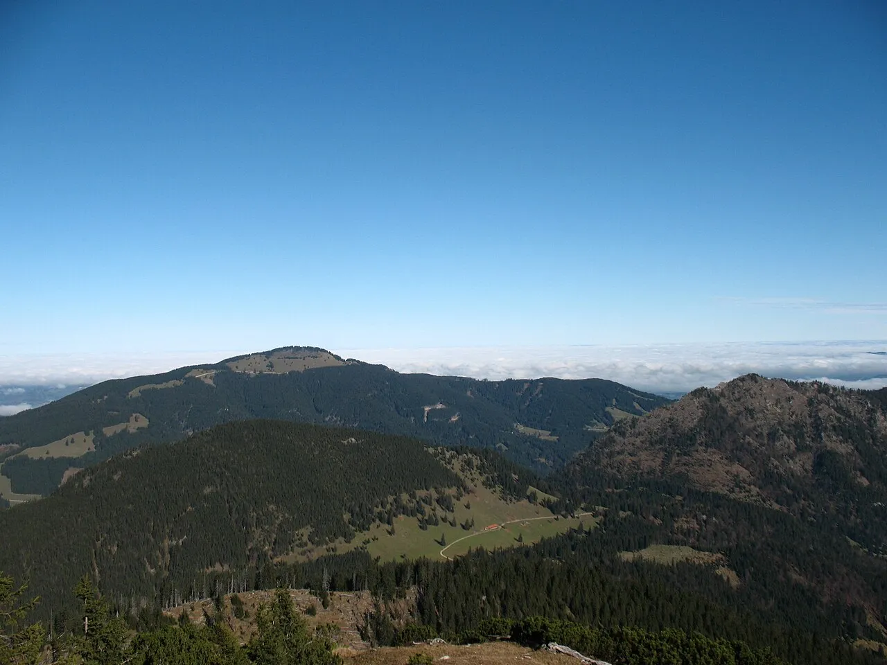
Westerkienberg Kauk0r · CC BY-SA 3.0 -
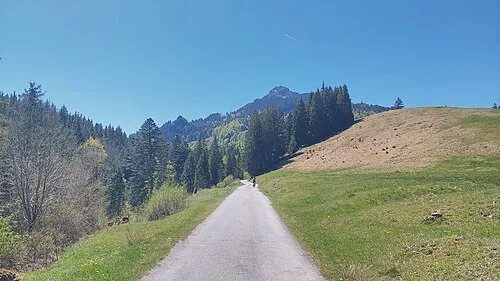
Tatzenriesköpfel Harald Hetzner · CC0 -
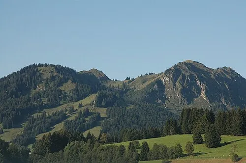
Spieser Bernd Lehle · Public domain -
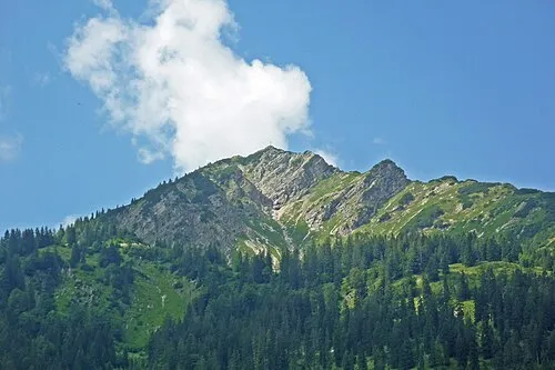
Kühgundspitz SchiDD · CC BY-SA 4.0 -
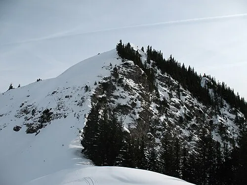
Jochschrofen Kauk0r · CC BY-SA 3.0


Climate of Schranzschrofen
Best months for sightseeingBest months for sightseeing: July–August.
This month · November
A wet month
Day 6° · Night -2° · Rain 110 mm
- Hottest month
- July (day 20°)
- Coldest month
- January (night -6°)
- Wettest month
- July (183 mm)
- Driest month
- January (89 mm)
Bars: average monthly low and high temperature. Below: precipitation. Monthly averages for 1970–2000 at about 18 km resolution, adjusted for elevation. Highlighted months are mild and relatively dry. Source: WorldClim 2.1 (CC BY 4.0).
Show values as a table
| Month | Jan | Feb | Mar | Apr | May | Jun | Jul | Aug | Sep | Oct | Nov | Dec |
|---|---|---|---|---|---|---|---|---|---|---|---|---|
| Average high (°C) | 2° | 3° | 6° | 9° | 14° | 17° | 20° | 20° | 16° | 12° | 6° | 3° |
| Average low (°C) | -6° | -5° | -3° | 0° | 5° | 8° | 10° | 10° | 7° | 3° | -2° | -5° |
| Precipitation (mm) | 89 | 91 | 99 | 105 | 124 | 176 | 183 | 170 | 120 | 93 | 110 | 102 |
How to get to Schranzschrofen
The nearest airport is Memmingen Allgau Airport (FMM), 52 km to the north as the crow flies. The nearest large city is Innsbruck, 77 km to the southeast.
Airports
- Memmingen Allgau Airport (FMM) Memmingen 52 kmnorth
- Sankt Gallen Altenrhein Airport (ACH) St. Gallen 69 kmwest
- Innsbruck Airport (INN) Innsbruck 73 kmsoutheast
Nearby large cities
- Innsbruck Population: 132.5K 77 kmsoutheast
- Augsburg Population: 301.1K 97 kmnorth
- Ulm Population: 120.5K 101 kmnorth
- Munich Population: 1.5M 105 kmnortheast
- Winterthur Population: 111.8K 132 kmwest
Straight-line distances; road distances are longer. Airport data: OurAirports.
Day trips from Schranzschrofen
Within 100 km: 447 historic and cultural sites, 5,101 natural sites, 1,294 lakes, rivers and coasts.
0–25 km665 places
- Vilsalpsee Lake 10 kmS
- Traualpsee Lake 12 kmS
- Heiterwanger See Lake 25 kmSE
- Haldensee Lake 10 kmSE
25–60 km2,215 places
- Kapfkopf Mountain 50 kmS
- Wildsee Lake 60 kmSE
- Zürser See Lake 49 kmSW
- Weissensee Lake 36 kmSE
60–100 km3,962 places
- Bayerisches Oberland Mountain 68 kmE
- Mainau Island 97 kmW
- Schloss Hirschberg am Haarsee Historic site 63 kmNE
- Dominikanerinsel Konstanz Island 98 kmW
Straight-line distances.
Nearest towns and villages
Nearby attractions & nature
Everything nearby-
Tatzenriesköpfel Mountain, Pfronten0.7 km N
-
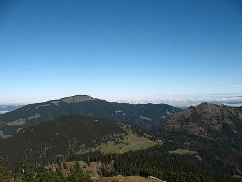 Westerkienberg Mountain, Pfronten1.7 km NE
-
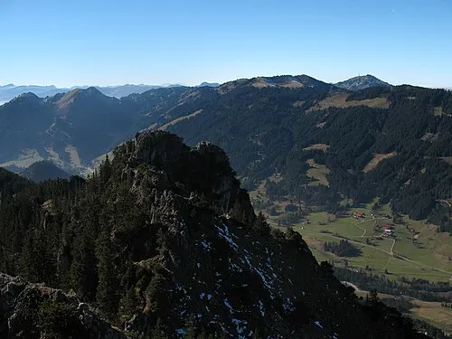 Zinken Mountain, Austria1.6 km W
-
Hölltal Natural site, Austria1.2 km SE
-
Roter Erzbach River, Bavaria0.4 km NE
-
Pfrontner Wald Natural site, Tyrol1.2 km S
-
Sorgschrofen Mountain, Austria1.6 km W
-
Schönkahler Mountain, Schattwald1.7 km SE
More nature in Austria
-
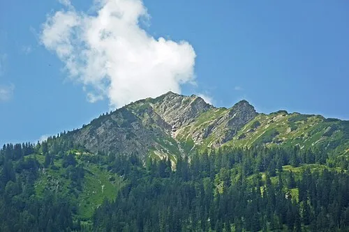 Kühgundspitze Mountain, Schattwald5.5 km SW
-
Schönkahler Mountain, Schattwald2.1 km SE
Sources & licences
Data last updated: