Unterinntal
Located in Tyrol, Austria Coordinates: 47°27′30″ N 11°56′53″ E
- Elevation
- 508 m
- above sea level
- Local time
- UTC+01:00
- Europe/Vienna · UTC+01:00
About Unterinntal
Unterinntal is a natural site. Location: Tyrol, Austria.
In comparison
- 26 sights and natural places within 10 km Kundler Klamm, NDB-Funkfeuer RTT
Nearest towns and villages
Nearby attractions & nature
Everything nearby-
Kundler Klamm Natural site, Tyrol2.8 km E
-
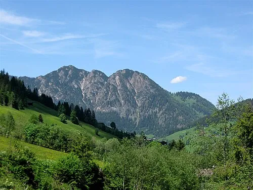 Gratlspitze Mountain, Alpbach4.8 km S
-
Reinthalen See Lake, Tyrol3.7 km W
-
Unterberg Mountain, Brandenberg5.2 km NW
-
Wildschönauer Ache River, Tyrol3.8 km NE
-
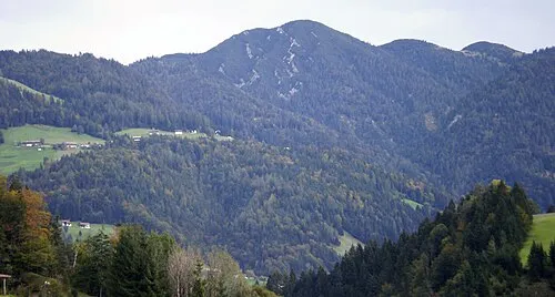 Kienberg Mountain, Brandenberg6.5 km N
-
Kragenjoch Mountain, Wildschönau6.5 km E
-
Voldöppberg Mountain, Brandenberg5.6 km NW
More nature in Austria
-
Oberberg Mountain, Brandenberg6.9 km N
-
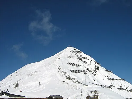 Wiedersberger Horn Mountain, Hart im Zillertal11 km S
-
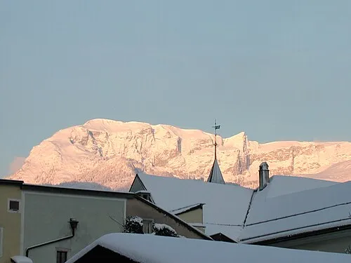 Vorderes Sonnwend Joch Mountain, Münster11 km W
-
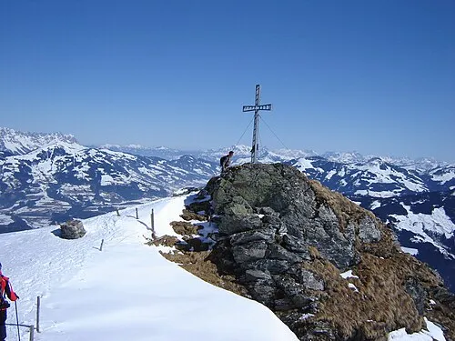 Feldalpenhorn Mountain, Hopfgarten im Brixental13 km SE
-
Heuberg Mountain, Brandenberg6 km N
-
Tristenkopf Mountain, Brandenberg8.9 km NW
Sources & licences
Data last updated: