Kollmannsberg
Located in Altmünster, Politischer Bezirk Gmunden Coordinates: 47°51′46″ N 13°43′05″ E
- Elevation
- 957 m
- above sea level
- Local time
- UTC+01:00
- Europe/Vienna · UTC+01:00
- Airports
- SZG Salzburg Airport54 km
- LNZ Linz-Hörsching Airport54 km
About Kollmannsberg
Kollmannsberg is a mountain. Location: Altmünster, Politischer Bezirk Gmunden. Elevation: 957 m. The best months to visit are July–August. The nearest airport is Salzburg Airport (54 km). Nearby sights include Hohenaugupf and Lärlkogel.
Photos of Kollmannsberg
-
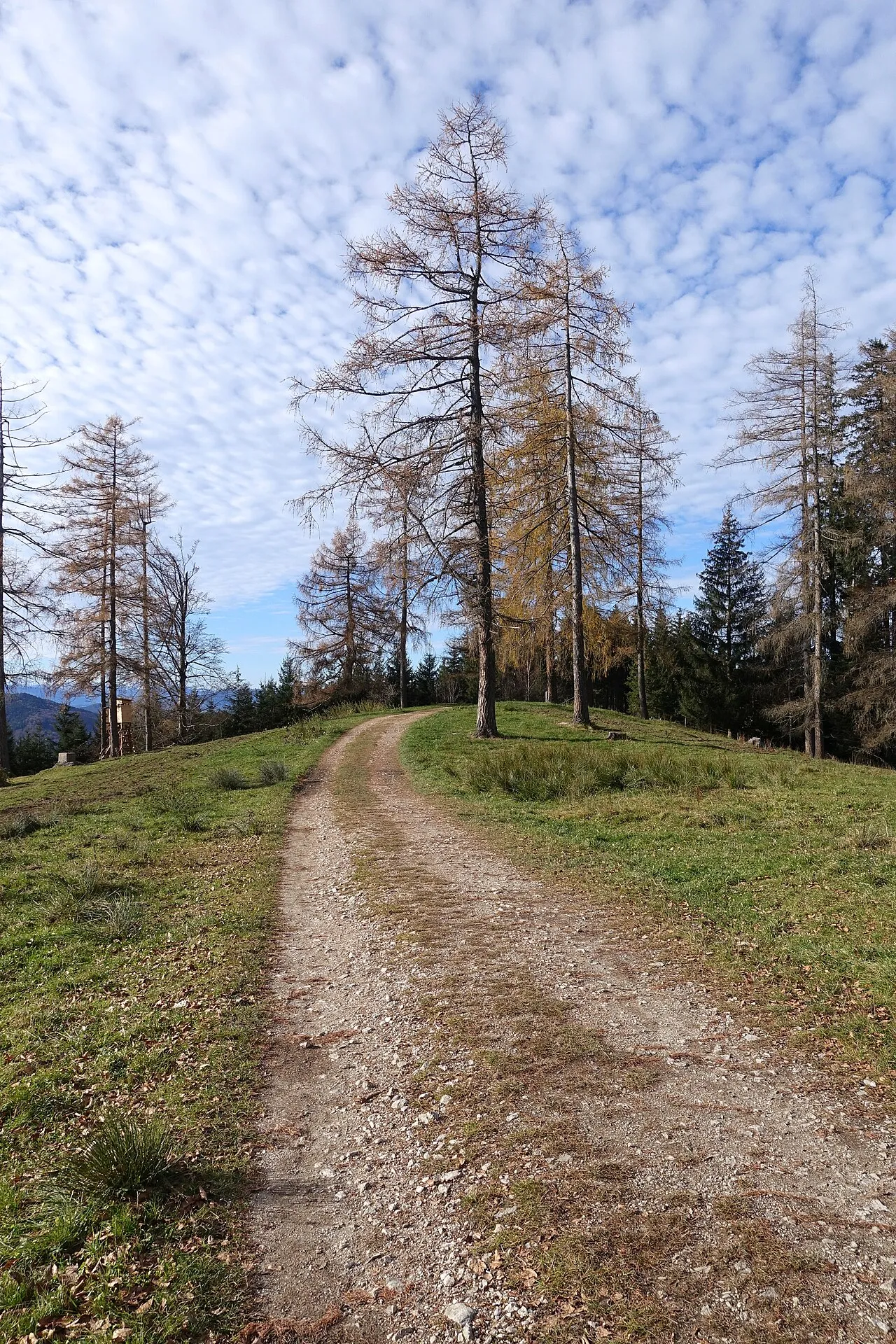
Hongar Tigerente · CC BY-SA 4.0 -
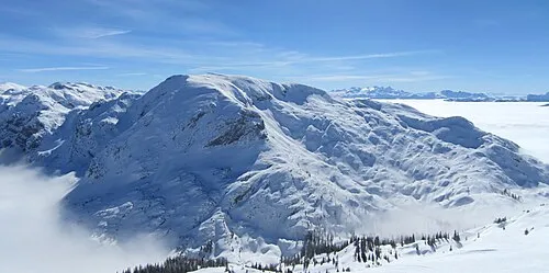
Grünalmkogel Tigerente · CC BY-SA 3.0 -
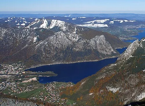
Großer Sonnstein Tigerente · CC BY-SA 4.0 -
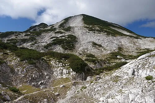
Großer Höllkogel Tigerente · CC BY 4.0 -
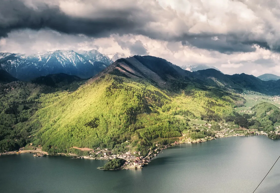
Fahrnaugupf Simon Matzinger · CC BY 3.0


Climate of Kollmannsberg
Best months for sightseeingBest months for sightseeing: July–August.
This month · November
A wet month
Day 3° · Night -3° · Rain 100 mm
- Hottest month
- July (day 20°)
- Coldest month
- January (night -7°)
- Wettest month
- July (169 mm)
- Driest month
- February (77 mm)
Bars: average monthly low and high temperature. Below: precipitation. Monthly averages for 1970–2000 at about 18 km resolution, adjusted for elevation. Highlighted months are mild and relatively dry. Source: WorldClim 2.1 (CC BY 4.0).
Show values as a table
| Month | Jan | Feb | Mar | Apr | May | Jun | Jul | Aug | Sep | Oct | Nov | Dec |
|---|---|---|---|---|---|---|---|---|---|---|---|---|
| Average high (°C) | -1° | 1° | 5° | 9° | 15° | 18° | 20° | 20° | 15° | 10° | 3° | 0° |
| Average low (°C) | -7° | -6° | -3° | 0° | 5° | 8° | 10° | 10° | 6° | 2° | -3° | -6° |
| Precipitation (mm) | 87 | 77 | 100 | 93 | 107 | 148 | 169 | 142 | 108 | 87 | 100 | 102 |
How to get to Kollmannsberg
The nearest airport is Salzburg Airport (SZG), 54 km to the west as the crow flies. The nearest large city is Salzburg, 51 km to the west.
Airports
- Salzburg Airport (SZG) Salzburg 54 kmwest
- Linz-Hörsching Airport (LNZ) Linz 54 kmnortheast
- České Budějovice South Bohemian Airport (JCL) České Budějovice 132 kmnortheast
Nearby large cities
- Salzburg Population: 157.2K 51 kmwest
- Linz Population: 204.8K 65 kmnortheast
- Klagenfurt Population: 100.3K 145 kmsouth
- Graz Population: 303.3K 157 kmsoutheast
- Munich Population: 1.5M 163 kmwest
Straight-line distances; road distances are longer. Airport data: OurAirports.
Day trips from Kollmannsberg
Within 100 km: 281 historic and cultural sites, 2,864 natural sites, 999 lakes, rivers and coasts.
0–25 km310 places
- Augstsee Lake 22 kmS
- Ostersee Lake 24 kmS
- Wilden See Lake 19 kmSE
- Vorderer Langbathsee Lake 4 kmSW
25–60 km1,337 places
- Hoher Dachstein Mountain 44 kmS
- Klamm Natural site 59 kmSE
- Seeriessee Lake 57 kmS
- Untersee Lake 58 kmS
60–100 km2,497 places
- Frauenchiemsee Island 97 kmW
- Herreninsel Island 99 kmW
- Gusen I Concentration Camp Historic site 71 kmNE
- Wildsee Lake 68 kmS
Straight-line distances.
Nearest towns and villages
-
Neukirchen Neighbourhood, Altmünster1.4 km N
-
Grasberg Neighbourhood, Altmünster2.2 km NE
-
Eben Village, Altmünster3.3 km NE
-
Nachdemsee Neighbourhood, Altmünster3.6 km E
-
Reindlmühl Neighbourhood, Altmünster3.5 km N
-
Altmünster Village, Altmünster5.6 km NE
Nearby attractions & nature
Everything nearby-
Hohenaugupf Mountain, Ebensee2.1 km S
-
Lärlkogel Mountain, Traunkirchen2.2 km SE
-
Aurachberg Mountain, Altmünster2.7 km NW
-
Hochkreut Mountain, Altmünster3.4 km W
-
Fahrnaugupf Mountain, Ebensee3.7 km SE
-
Grasberg Mountain, Altmünster3 km NE
-
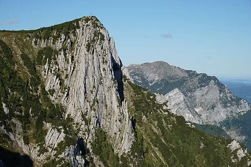 Alberfeldkogel Mountain, Ebensee5.2 km S
-
Hinterer Signalkogel Mountain, Ebensee4.3 km SW
Sources & licences
Data last updated: · 2 independent sources