Wehrkogel
Located in Obertraun, Politischer Bezirk Gmunden Coordinates: 47°34′00″ N 13°41′00″ E
- Elevation
- 888 m
- above sea level
- Local time
- UTC+01:00
- Europe/Vienna · UTC+01:00
- Airports
- SZG Salzburg Airport57 km
- LNZ Linz-Hörsching Airport83 km
About Wehrkogel
Wehrkogel is a mountain. Location: Obertraun, Politischer Bezirk Gmunden. Elevation: 888 m. The best months to visit are June–August. The nearest airport is Salzburg Airport (57 km). Nearby sights include Sarsteinwald and Sechserkogel.
Photos of Wehrkogel
-
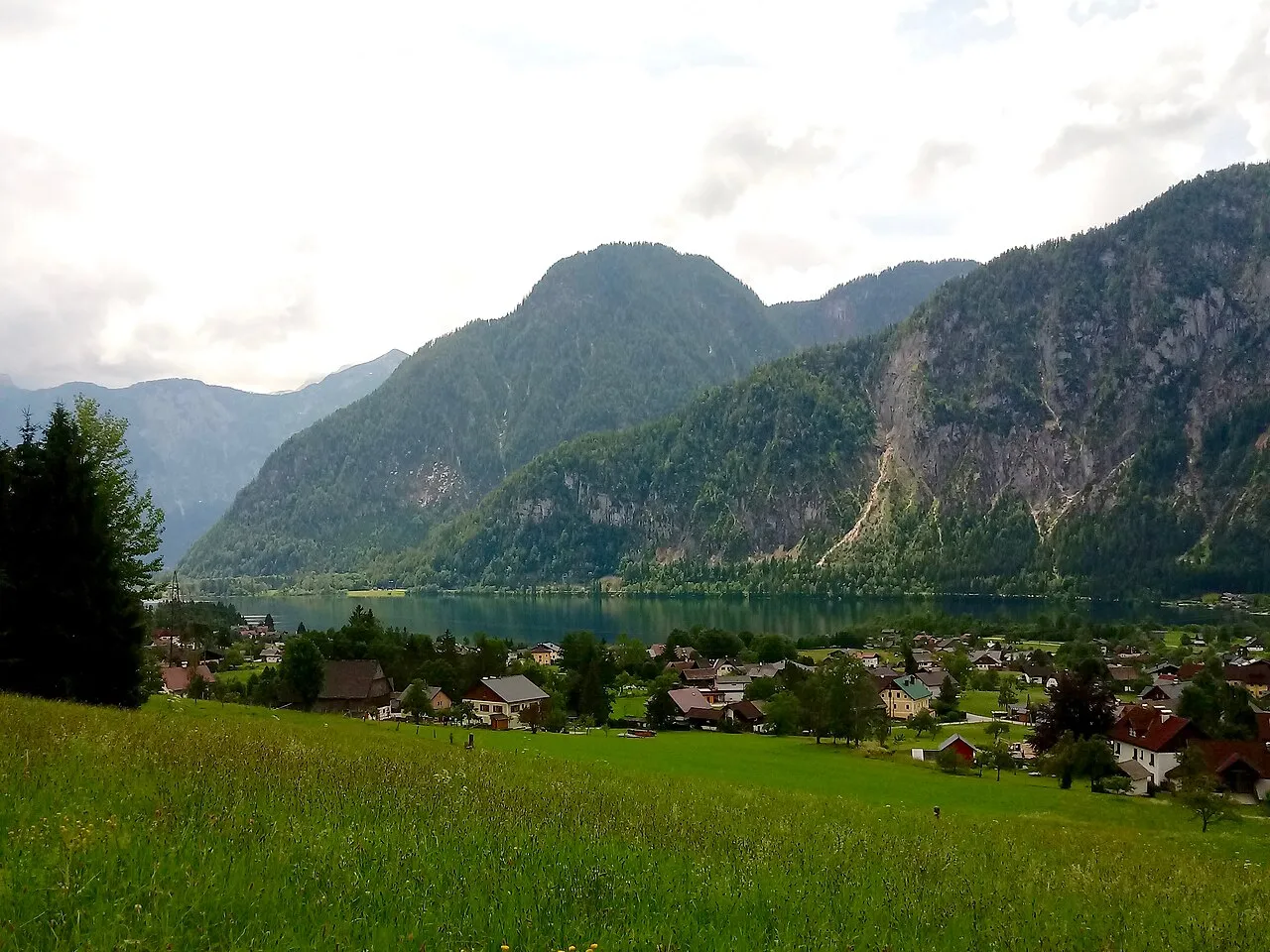
Gosaueck Funke · CC BY-SA 4.0 -
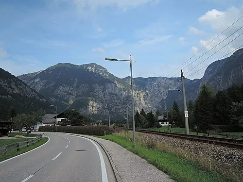
Rauer Koppen IIya Kuzhekin · CC BY 3.0 -
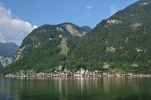
Hohe Sieg Herzi Pinki · CC BY-SA 3.0 -
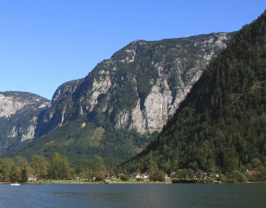
Hageneck Karelj · Public domain -
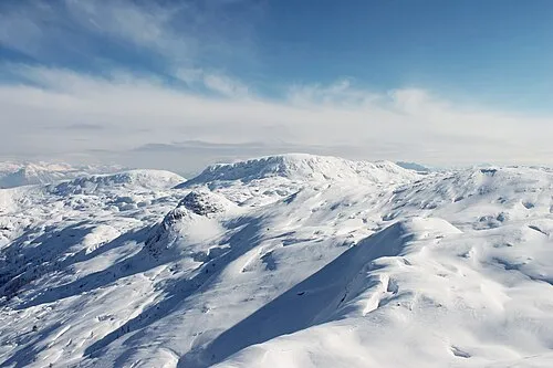
Speikberg Draceane · CC BY-SA 3.0


Climate of Wehrkogel
Best months for sightseeingBest months for sightseeing: June–August.
This month · November
A wet month
Day 6° · Night -1° · Rain 105 mm
- Hottest month
- July (day 20°)
- Coldest month
- January (night -5°)
- Wettest month
- July (195 mm)
- Driest month
- February (78 mm)
Bars: average monthly low and high temperature. Below: precipitation. Monthly averages for 1970–2000 at about 18 km resolution, adjusted for elevation. Highlighted months are mild and relatively dry. Source: WorldClim 2.1 (CC BY 4.0).
Show values as a table
| Month | Jan | Feb | Mar | Apr | May | Jun | Jul | Aug | Sep | Oct | Nov | Dec |
|---|---|---|---|---|---|---|---|---|---|---|---|---|
| Average high (°C) | 2° | 3° | 6° | 9° | 15° | 18° | 20° | 20° | 17° | 12° | 6° | 3° |
| Average low (°C) | -5° | -5° | -2° | 1° | 6° | 9° | 11° | 11° | 8° | 4° | -1° | -4° |
| Precipitation (mm) | 87 | 78 | 107 | 106 | 124 | 175 | 195 | 165 | 127 | 97 | 105 | 109 |
How to get to Wehrkogel
The nearest airport is Salzburg Airport (SZG), 57 km to the northwest as the crow flies. The nearest large city is Salzburg, 55 km to the northwest.
Airports
- Salzburg Airport (SZG) Salzburg 57 kmnorthwest
- Linz-Hörsching Airport (LNZ) Linz 83 kmnortheast
- Klagenfurt Airport (KLU) Klagenfurt am Wörthersee 114 kmsoutheast
Nearby large cities
- Salzburg Population: 157.2K 55 kmnorthwest
- Linz Population: 204.8K 94 kmnortheast
- Klagenfurt Population: 100.3K 115 kmsoutheast
- Graz Population: 303.3K 144 kmeast
- Munich Population: 1.5M 170 kmnorthwest
Straight-line distances; road distances are longer. Airport data: OurAirports.
Day trips from Wehrkogel
Within 100 km: 293 historic and cultural sites, 3,508 natural sites, 1,126 lakes, rivers and coasts.
0–25 km618 places
- Hoher Dachstein Mountain 12 kmSW
- Seeriessee Lake 25 kmS
- Untersee Lake 25 kmS
- Augstsee Lake 13 kmNE
25–60 km1,766 places
- Klamm Natural site 48 kmE
- Wildsee Lake 35 kmS
- Glohbuckensee Lake 52 kmE
- Gemeinsee Lake 55 kmE
60–100 km2,543 places
- Gusen I Concentration Camp Historic site 96 kmNE
- Fürlegsee Lake 94 kmSW
- Vorderer Langtalsee Lake 93 kmSW
- Wildsee Lake 90 kmSE
Straight-line distances.
Nearest towns and villages
Nearby attractions & nature
Everything nearby-
Sarsteinwald Natural site, Upper Austria<0.1 km N
-
Sechserkogel Mountain, Obertraun1.3 km W
-
Hoher Sattelkogel Mountain, Obertraun1.3 km E
-
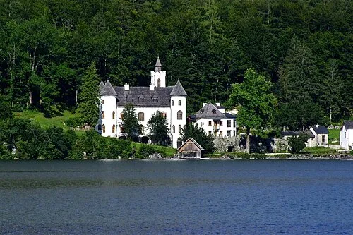 Schloß Grub Historic site, Obertraun1.3 km W
-
Gröbkogel Mountain, Bad Goisern1.9 km N
-
Schafeckkogel Mountain, Obertraun1.9 km S
-
Feuerkogel Mountain, Upper Austria2.2 km NE
-
Kessel Natural site, Upper Austria2.2 km SW
More nature in Austria
-
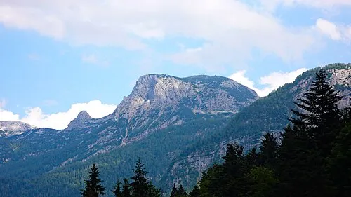 Hoher Krippenstein Mountain, Obertraun5.6 km S
-
Hageneck Mountain, Obertraun4.2 km SE
-
Hoher Koppen Mountain, Obertraun3.8 km E
-
Niederer Sattelkogel Mountain, Obertraun2.5 km E
-
Speikberg Mountain, Obertraun6.7 km SE
-
Mittlerer Schönbühel Mountain, Obertraun3.9 km S
Sources & licences
Data last updated: