Fukersberg
Located in Zell an der Pram, Politischer Bezirk Schärding Coordinates: 48°19′00″ N 13°34′00″ E
- Population
- 22
- 22
- Elevation
- 400 m
- above sea level
- Local time
- UTC+01:00
- Europe/Vienna · UTC+01:00
- Airports
- LNZ Linz-Hörsching Airport47 km
- SZG Salzburg Airport72 km
About Fukersberg
Fukersberg is a village. Location: Zell an der Pram, Politischer Bezirk Schärding. Population: 22. Elevation: 400 m.
Fuckersberg is a populated place (Ortschaft) in the municipality of Zell an der Pram, Schärding District in Upper Austria, Austria. As of 1 January 2019, the population was 21. The town is known by English speakers for its rather unusual name, which contains the English profanity Fuck. In 1843, Fuckersberg had been mentioned as a populated place in Zell an der Pram.
Source: Wikipedia · CC BY-SA 4.0
Climate of Fukersberg
Best months for sightseeingBest months for sightseeing: June–August.
This month · November
A cold month
Day 6° · Night 0° · Rain 78 mm
- Hottest month
- July (day 23°)
- Coldest month
- January (night -4°)
- Wettest month
- July (123 mm)
- Driest month
- February (61 mm)
Bars: average monthly low and high temperature. Below: precipitation. Monthly averages for 1970–2000 at about 18 km resolution, adjusted for elevation. Highlighted months are mild and relatively dry. Source: WorldClim 2.1 (CC BY 4.0).
Show values as a table
| Month | Jan | Feb | Mar | Apr | May | Jun | Jul | Aug | Sep | Oct | Nov | Dec |
|---|---|---|---|---|---|---|---|---|---|---|---|---|
| Average high (°C) | 2° | 4° | 9° | 13° | 19° | 21° | 23° | 23° | 19° | 13° | 6° | 3° |
| Average low (°C) | -4° | -4° | 0° | 3° | 8° | 11° | 13° | 12° | 9° | 5° | 0° | -3° |
| Precipitation (mm) | 67 | 61 | 73 | 70 | 85 | 112 | 123 | 107 | 80 | 69 | 78 | 78 |
How to get to Fukersberg
The nearest airport is Linz-Hörsching Airport (LNZ), 47 km to the east as the crow flies. The nearest large city is Linz, 53 km to the east.
Airports
- Linz-Hörsching Airport (LNZ) Linz 47 kmeast
- Salzburg Airport (SZG) Salzburg 72 kmsouthwest
- České Budějovice South Bohemian Airport (JCL) České Budějovice 95 kmnortheast
Nearby large cities
- Linz Population: 204.8K 53 kmeast
- Salzburg Population: 157.2K 69 kmsouthwest
- Regensburg Population: 151.4K 133 kmnorthwest
- Munich Population: 1.5M 149 kmwest
- Ingolstadt Population: 120.7K 166 kmwest
Straight-line distances; road distances are longer. Airport data: OurAirports.
Day trips from Fukersberg
Within 100 km: 240 historic and cultural sites, 1,890 natural sites, 664 lakes, rivers and coasts.
0–25 km62 places
- Urhammer Berg Mountain 22 kmS
- Turmberg Mountain 19 kmS
- Stelzer Berg Mountain 7 kmSW
- Steinberg Mountain 7 kmE
25–60 km554 places
- Zellersee Lake 50 kmSW
- Wallersee Lake 53 kmSW
- Vorderer Langbathsee Lake 54 kmS
- Traunsee Lake 55 kmS
60–100 km2,178 places
- Hoher Dachstein Mountain 94 kmS
- Frauenchiemsee Island 98 kmSW
- Gusen I Concentration Camp Historic site 67 kmE
- Windhagersee Lake 87 kmSE
Straight-line distances.
Nearby attractions & nature
Everything nearby-
Steinberg Mountain, Zell an der Pram7.4 km E
-
Hoher Schachen Mountain, Eggerding6.5 km W
-
Mössen Bach River, Upper Austria5.6 km N
-
Stelzer Berg Mountain, Andrichsfurt6.7 km SW
-
Reschfeld Mountain, Taiskirchen im Innkreis7.4 km S
-
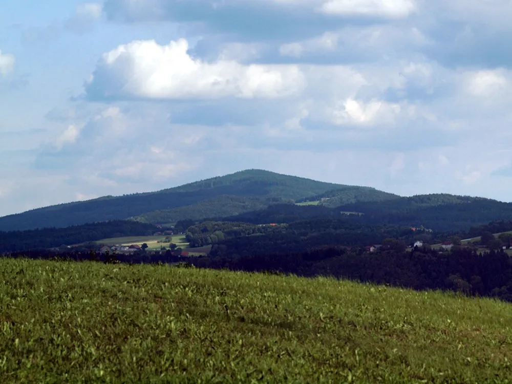 Haugstein Mountain, Vichtenstein23 km N
Sources & licences
Data last updated: · 2 independent sources