Rote Wand
Located in Dalaas, Bludenz District Coordinates: 47°11′11″ N 9°59′06″ E
- Elevation
- 2,704 m
- above sea level
- Local time
- UTC+01:00
- Europe/Vienna · UTC+01:00
About Rote Wand
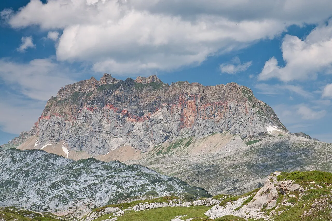
Rote Wand is a mountain. Location: Dalaas, Bludenz District. Elevation: 2,704 m.
The Rote Wand ("Red Wall") is a mountain in the Lechquellen Mountains range of Vorarlberg, in western Austria. The second highest mountain at 2,704 m (AA) in the range, behind the lower pit Wildgrubenspitze (2,753 metres (9,032 ft)) in the mountains of Lech sources, it rises from the valley floor between the Großes Walsertal in the north, and Dalaas (Monastery Valley) in the south. The name "Red Wall (Rote Wand)" originates from the distinct red-Lias limestone, which is particularly striking in the south wall.
Read more on Wikipedia Text: Wikipedia contributors · CC BY-SA 4.0 · shortened
At a glance
- Topographic prominence
- 876 m
Source: Wikidata
In comparison
- No. 828 of 7537 mountains in Austria by elevation
- 129 sights and natural places within 10 km Rothorn, Formarin-Rothorn
Nearest towns and villages
-
Klesenzaalpe Village, Sonntag2.2 km NW
-
Innerbraz Municipality, Bludenz District5.8 km SW
-
Laguzalpe Village, Raggal2.9 km NW
-
Dalaas Village, Dalaas6.9 km S
-
Raggal Municipality, Bludenz District6.5 km W
-
Wald am Arlberg Village, Dalaas6.9 km SE
Nearby attractions & nature
Everything nearby-
Rothorn Mountain, Raggal0.6 km SW
-
Formarin-Rothorn Mountain, Dalaas0.6 km SW
-
Jungfernspitze Mountain, Sonntag0.8 km NW
-
Betteltritt Mountain, Sonntag1.5 km N
-
Madratsch Mountain, Raggal1.4 km NW
-
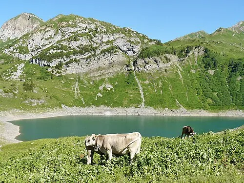 Formarin Seekopf Mountain, Dalaas2.3 km SE
-
Hirschenspitze Mountain, Dalaas2.7 km NE
-
Misthaufen Mountain, Sonntag2.1 km NE
More nature in Austria
-
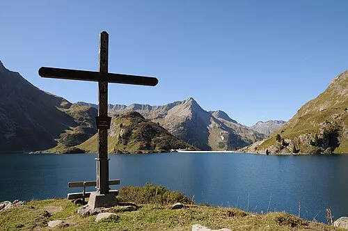 Pfaffeneck Mountain, Dalaas4.5 km E
-
Vorderer Geißkopf Mountain, Dalaas2.4 km SW
-
Hinterer Geißkopf Mountain, Dalaas2.7 km SW
-
Formaletsch Mountain, Dalaas2.7 km SE
-
Südlicher Formarin-Roßkopf Mountain, Dalaas3.6 km S
-
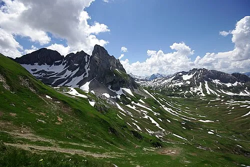 Untere Wildgruben Spitze Mountain, Dalaas10 km E
Sources & licences
Data last updated: · 2 independent sources