Untere Wildgruben Spitze
Located in Dalaas, Bludenz District Coordinates: 47°10′00″ N 10°07′00″ E
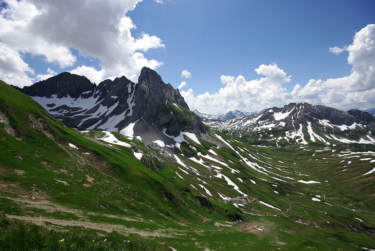
- Elevation
- 2,753 m
- above sea level
- Local time
- UTC+01:00
- Europe/Vienna · UTC+01:00
About Untere Wildgruben Spitze
Untere Wildgruben Spitze is a mountain. Location: Dalaas, Bludenz District. Elevation: 2,753 m.
The Untere Wildgrubenspitze (rarely called Große Wildgrubenspitze) is the highest peak of the Lechquellen Mountains in Austria. It reaches a height of 2,753 m above sea level (AA) and is located west of the ski resort of Zürs. The summit may be reached from the Ravensburger Hut via the Schneegrube, Nadelscharte and southwest arête. This involves grade II to III climbing. The ascent from the northern side, from the Zürsersee is easier and protected with wire cables.
Read more on Wikipedia Text: Wikipedia contributors · CC BY-SA 4.0 · shortened
At a glance
- Topographic prominence
- 980 m
Source: Wikidata
In comparison
- No. 721 of 7537 mountains in Austria by elevation
- 151 sights and natural places within 10 km Obere Wildgruben Spitze, Roggalspitze
Nearest towns and villages
Nearby attractions & nature
Everything nearby-
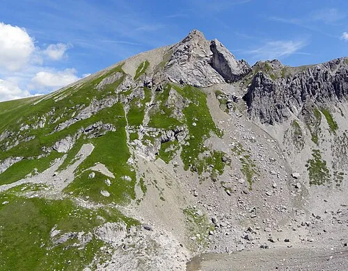 Obere Wildgruben Spitze Mountain, Dalaas<0.1 km N
-
Roggalspitze Mountain, Dalaas0.1 km SE
-
Obere Grätligrat Spitze Mountain, Dalaas0.8 km E
-
Obere Grätlisgratspitze - HG Mountain, Lech0.9 km E
-
Spulleralpkopf Mountain, Dalaas1.2 km S
-
Untere Grätlisgratspitze Mountain, Dalaas1.3 km E
-
Madloch Spitze Mountain, Dalaas1.5 km N
-
Zuger Mittagspitze Mountain, Dalaas1.5 km N
Sources & licences
Data last updated: · 2 independent sources