Galamant
Located in Nenzing, Bludenz District Coordinates: 47°04′46″ N 9°39′01″ E
- Elevation
- 1,730 m
- above sea level
- Local time
- UTC+01:00
- Europe/Vienna · UTC+01:00
About Galamant
Galamant is a mountain. Location: Nenzing, Bludenz District. Elevation: 1,730 m.
In comparison
- No. 3899 of 7537 mountains in Austria by elevation
- 116 sights and natural places within 10 km St. Rochus, Stüber Fall
Nearest towns and villages
-
Nenzinger Himmel Village, Nenzing0.9 km N
-
Seewis im Prättigau Municipality, Region Prättigau / Davos6.4 km S
-
Brand Village, Brand7 km E
-
Brand Municipality, Bludenz District7.8 km NE
-
Maienfeld Municipality, Region Landquart8.9 km SW
-
Jenins Municipality, Region Landquart9.5 km SW
Nearby attractions & nature
Everything nearby-
Stüber Fall Natural site, Vorarlberg0.8 km W
-
Strahleck Mountain, Nenzing0.9 km SE
-
Otterkirchle Mountain, Nenzing1.4 km NE
-
Lohnfreschen Mountain, Nenzing1.5 km S
-
Blankuskopf Mountain, Nenzing2.6 km NE
-
Oberzalimkopf Mountain, Nenzing2.1 km E
-
Hirschsee Lake, Vorarlberg1.3 km E
-
Hornspitz Mountain, Switzerland2.2 km S
More nature in Austria
-
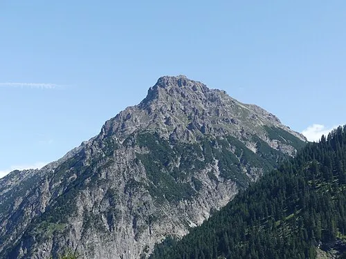 Fundelkopf Mountain, Nenzing4 km NE
-
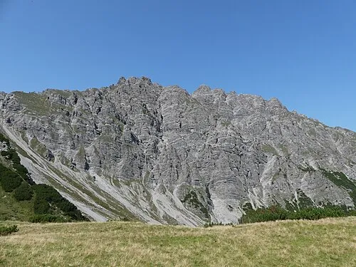 Tuklar Mountain, Nenzing5.4 km NE
-
Gorvion Mountain, Nenzing2.4 km W
-
Panüeler Kopf Mountain, Nenzing2.6 km SE
-
Panüelerkopf Mountain, Nenzing2.6 km SE
-
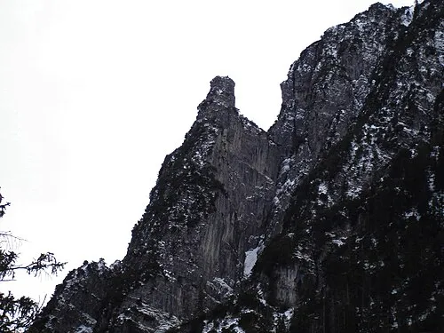 Eckskopf Mountain, Nenzing8.2 km N
Sources & licences
Data last updated: