- Population
- 82,929
- 82.9K
- Elevation
- 48 m
- above sea level
- Local time
- UTC+01:00
- Europe/Brussels · UTC+01:00
- Airports
- BRU Brussels Airport15 km
- CRL Brussels South Charleroi Airport39 km
About Uccle
Uccle is a town. Location: Ukkel, Arrondissement Brussel-Hoofdstad. Population: 82,929. Elevation: 48 m. The best months to visit are June–August. The nearest airport is Brussels Airport (15 km). Nearby sights include Nekersgat and Baitul Mujeeb.
Photos of Uccle
-
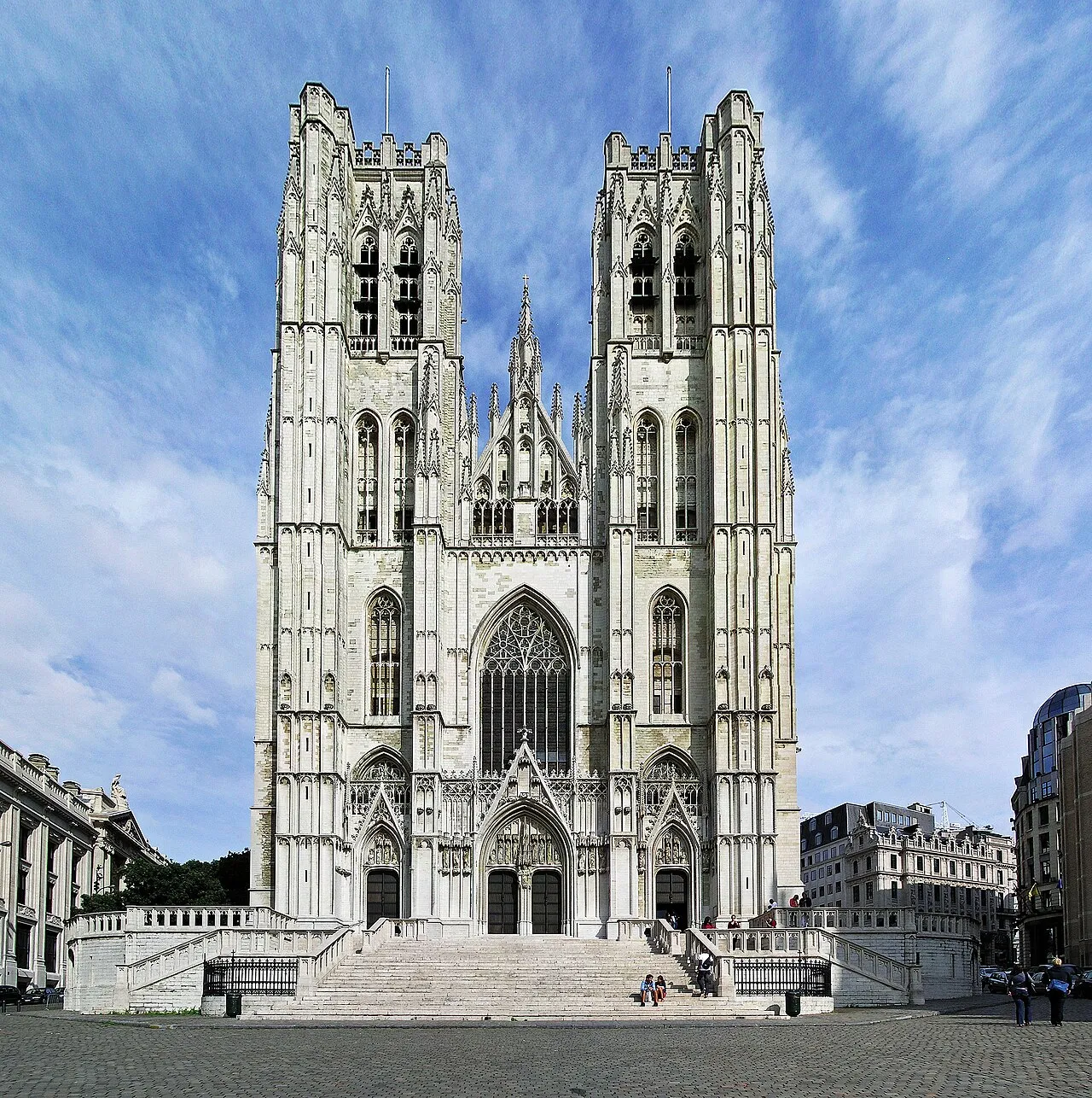
St. Michael and St. Gudula Cathedral Donaldytong · CC BY-SA 3.0 -
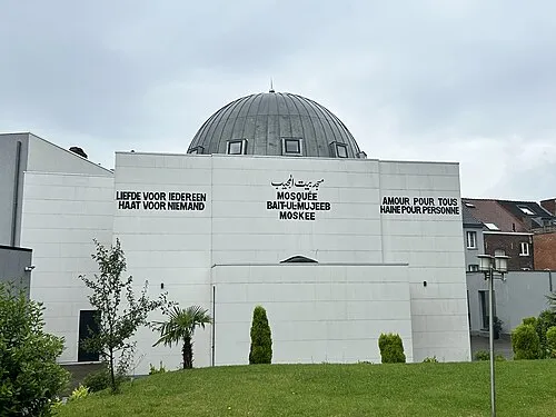
Baitul Mujeeb HolyArtThou · CC0 -
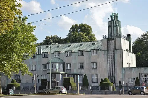
Stoclet Palace Busoni · CC BY-SA 3.0 -
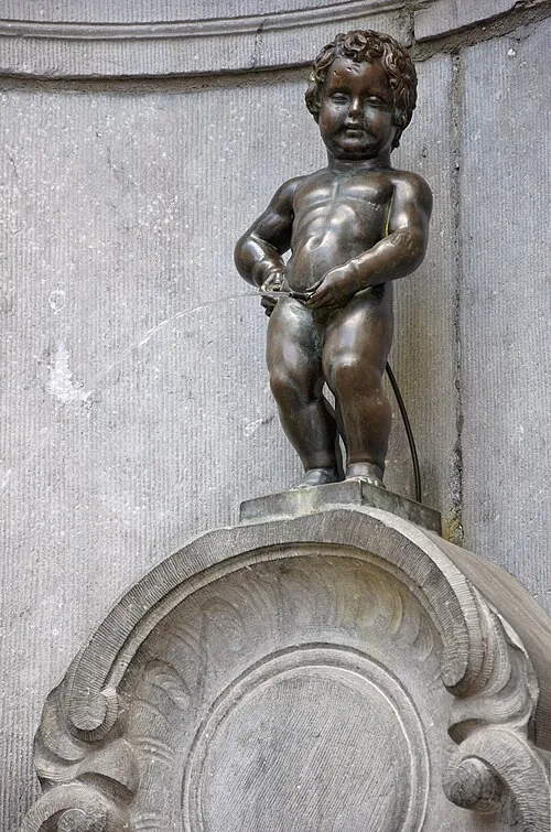
Manneken Pis Myrabella · CC BY-SA 3.0 -
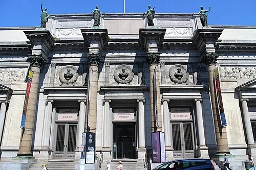
Royal Museums of Fine Arts of Belgium Suicasmo · CC BY-SA 4.0


Climate of Uccle
Best months for sightseeingBest months for sightseeing: June–August.
This month · November
A cold month
Day 10° · Night 4° · Rain 77 mm
- Hottest month
- August (day 23°)
- Coldest month
- February (night 1°)
- Wettest month
- November (77 mm)
- Driest month
- February (54 mm)
Bars: average monthly low and high temperature. Below: precipitation. Monthly averages for 1970–2000 at about 18 km resolution, adjusted for elevation. Highlighted months are mild and relatively dry. Source: WorldClim 2.1 (CC BY 4.0).
Show values as a table
| Month | Jan | Feb | Mar | Apr | May | Jun | Jul | Aug | Sep | Oct | Nov | Dec |
|---|---|---|---|---|---|---|---|---|---|---|---|---|
| Average high (°C) | 6° | 7° | 10° | 13° | 18° | 20° | 23° | 23° | 19° | 15° | 10° | 7° |
| Average low (°C) | 1° | 1° | 3° | 5° | 9° | 12° | 14° | 13° | 11° | 8° | 4° | 2° |
| Precipitation (mm) | 68 | 54 | 70 | 55 | 68 | 76 | 68 | 63 | 62 | 68 | 77 | 76 |
How to get to Uccle
The nearest airport is Brussels Airport (BRU), 15 km to the northeast as the crow flies. The nearest large city is Anderlecht, 4 km to the northwest.
Airports
- Brussels Airport (BRU) Zaventem 15 kmnortheast
- Brussels South Charleroi Airport (CRL) Charleroi 39 kmsouth
- Antwerp International Airport (Deurne) (ANR) Antwerp 44 kmnorth
Nearby large cities
- Anderlecht Population: 160.6K 4 kmnorthwest
- Brussels Population: 1M 5 kmnorth
- Schaarbeek Population: 132.8K 8 kmnorth
- Leuven Population: 101K 27 kmeast
- Charleroi Population: 200.1K 44 kmsouth
Straight-line distances; road distances are longer. Airport data: OurAirports.
Day trips from Uccle
Within 100 km: 305 historic and cultural sites, 985 natural sites, 1,139 lakes, rivers and coasts.
0–25 km289 places
- Hofstademeer Lake 24 kmNE
- Korenberg Mountain 13 kmNE
- Gasthuisberg Mountain 24 kmE
- Weebergbos Natural site 19 kmE
25–60 km927 places
- Het Eiland Island 54 kmNW
- Kleine Weel Lake 55 kmN
- Grote Weel Lake 54 kmN
- Grote Geule Lake 55 kmN
60–100 km1,213 places
- Knokke-Strand Beach 96 kmNW
- Île du Moulin Island 93 kmE
- Île Monsin Island 93 kmE
- Île de Franche Garenne Island 96 kmE
Straight-line distances.
Uccle and similar cities
Side by side with cities of similar size in the same country: population, elevation and climate.
| Measure | Uccle | Leuven | Namur | Bruges |
|---|---|---|---|---|
| Population | 82.9K | 101K | 110.9K | 118.5K |
| Elevation | 48 m | 28 m | 88 m | 13 m |
| Summer day (hottest month) | 23° | 23° | 23° | 22° |
| Winter night (coldest month) | 1° | 1° | 0° | 1° |
| Annual rainfall | 805 mm | 765 mm | 813 mm | 783 mm |
| Best months | Jun–Aug | Jun–Aug | Jun–Aug | Jun–Sep |
| Distance | — | 27 km | 53 km | 90 km |
Climate values are 1970–2000 monthly averages; straight-line distance.
Nearby attractions & nature
Everything nearby-
Nekersgat Historic site, Ukkel0.5 km SW
-
Baitul Mujeeb Attraction, Ukkel2 km S
-
Ter Kamerenbos Natural site, Brussels Capital1.9 km E
-
Royal Museums of Fine Arts of Belgium Museum, City of Brussels4.6 km N
-
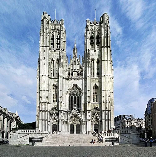 St. Michael and St. Gudula Cathedral Attraction, City of Brussels5.3 km N
-
Manneken Pis Landmark, City of Brussels4.8 km N
-
Abbaye de La Cambre Attraction, Ixelles3.1 km NE
-
Geleitsbeek River, Flemish Region2.6 km SW
Sources & licences
Data last updated: