- Population
- 56,254
- 56.3K
- Elevation
- 52 m
- above sea level
- Local time
- UTC+01:00
- Europe/Brussels · UTC+01:00
- Airports
- BRU Brussels Airport15 km
- CRL Brussels South Charleroi Airport41 km
About Forest
Forest is a town. Location: Vorst, Arrondissement Brussel-Hoofdstad. Population: 56,254. Elevation: 52 m. The best months to visit are June–August. The nearest airport is Brussels Airport (15 km). Nearby sights include Royal Museums of Fine Arts of Belgium and Manneken Pis.
Photos of Forest
-
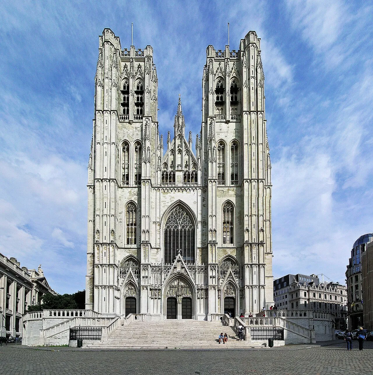
St. Michael and St. Gudula Cathedral Donaldytong · CC BY-SA 3.0 -
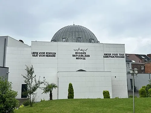
Baitul Mujeeb HolyArtThou · CC0 -
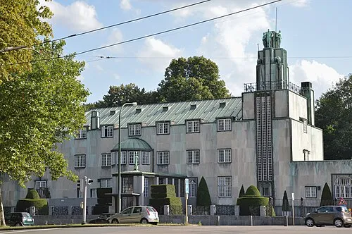
Stoclet Palace Busoni · CC BY-SA 3.0 -
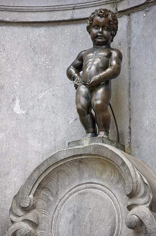
Manneken Pis Myrabella · CC BY-SA 3.0 -
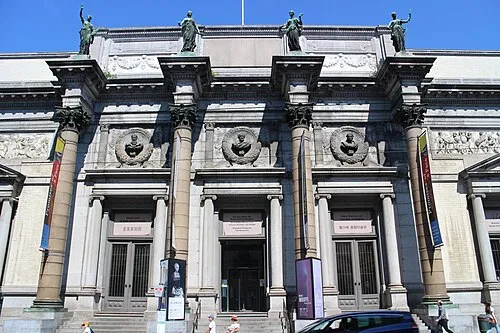
Royal Museums of Fine Arts of Belgium Suicasmo · CC BY-SA 4.0


Climate of Forest
Best months for sightseeingBest months for sightseeing: June–August.
This month · November
A cold month
Day 9° · Night 4° · Rain 76 mm
- Hottest month
- August (day 23°)
- Coldest month
- February (night 1°)
- Wettest month
- November (76 mm)
- Driest month
- February (52 mm)
Bars: average monthly low and high temperature. Below: precipitation. Monthly averages for 1970–2000 at about 18 km resolution, adjusted for elevation. Highlighted months are mild and relatively dry. Source: WorldClim 2.1 (CC BY 4.0).
Show values as a table
| Month | Jan | Feb | Mar | Apr | May | Jun | Jul | Aug | Sep | Oct | Nov | Dec |
|---|---|---|---|---|---|---|---|---|---|---|---|---|
| Average high (°C) | 6° | 7° | 10° | 13° | 18° | 20° | 23° | 23° | 19° | 15° | 9° | 7° |
| Average low (°C) | 1° | 1° | 3° | 5° | 9° | 11° | 13° | 13° | 11° | 7° | 4° | 2° |
| Precipitation (mm) | 66 | 52 | 67 | 53 | 67 | 75 | 68 | 60 | 62 | 68 | 76 | 74 |
How to get to Forest
The nearest airport is Brussels Airport (BRU), 15 km to the northeast as the crow flies. The nearest large city is Anderlecht, 2 km to the northwest.
Airports
- Brussels Airport (BRU) Zaventem 15 kmnortheast
- Brussels South Charleroi Airport (CRL) Charleroi 41 kmsouth
- Antwerp International Airport (Deurne) (ANR) Antwerp 43 kmnorth
Nearby large cities
- Anderlecht Population: 160.6K 2 kmnorthwest
- Brussels Population: 1M 4 kmnorth
- Schaarbeek Population: 132.8K 7 kmnortheast
- Leuven Population: 101K 27 kmeast
- Antwerp Population: 529.2K 45 kmnorth
Straight-line distances; road distances are longer. Airport data: OurAirports.
Day trips from Forest
Within 100 km: 307 historic and cultural sites, 962 natural sites, 1,135 lakes, rivers and coasts.
0–25 km284 places
- Hofstademeer Lake 23 kmNE
- Korenberg Mountain 13 kmNE
- Gasthuisberg Mountain 25 kmE
- Weebergbos Natural site 19 kmE
25–60 km919 places
- Het Eiland Island 52 kmNW
- Kleine Weel Lake 53 kmN
- Grote Weel Lake 52 kmN
- Grote Geule Lake 53 kmN
60–100 km1,201 places
- Knokke-Strand Beach 94 kmNW
- Île du Moulin Island 94 kmE
- Île Monsin Island 94 kmE
- Île de Franche Garenne Island 97 kmE
Straight-line distances.
Forest and similar cities
Side by side with cities of similar size in the same country: population, elevation and climate.
| Measure | Forest | Leuven | Namur | Bruges |
|---|---|---|---|---|
| Population | 56.3K | 101K | 110.9K | 118.5K |
| Elevation | 52 m | 28 m | 88 m | 13 m |
| Summer day (hottest month) | 23° | 23° | 23° | 22° |
| Winter night (coldest month) | 1° | 1° | 0° | 1° |
| Annual rainfall | 788 mm | 765 mm | 813 mm | 783 mm |
| Best months | Jun–Aug | Jun–Aug | Jun–Aug | Jun–Sep |
| Distance | — | 27 km | 55 km | 89 km |
Climate values are 1970–2000 monthly averages; straight-line distance.
Nearby attractions & nature
Everything nearby-
Royal Museums of Fine Arts of Belgium Museum, City of Brussels3.5 km NE
-
Manneken Pis Landmark, City of Brussels3.5 km NE
-
Nekersgat Historic site, Ukkel1.9 km S
-
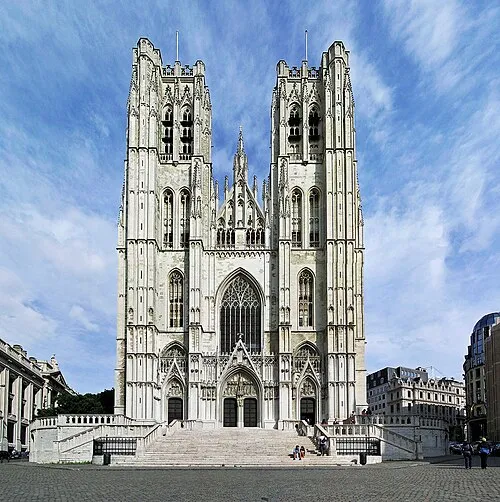 St. Michael and St. Gudula Cathedral Attraction, City of Brussels4.1 km NE
-
Baitul Mujeeb Attraction, Ukkel3.5 km S
-
Neerpedebeek River, Hainaut Province2 km NW
-
Broekbeek River, Hainaut Province2 km NW
-
Law Courts of Brussels Historic site, City of Brussels2.8 km NE
Sources & licences
Data last updated: