Het Laar
Located in Antwerpen, Arrondissement of Antwerp Coordinates: 51°16′00″ N 4°26′00″ E
- Elevation
- 0 m
- above sea level
- Local time
- UTC+01:00
- Europe/Brussels · UTC+01:00
- Airports
- ANR Antwerp International Airport (Deurne)9 km
- BRU Brussels Airport41 km
About Het Laar
Het Laar is a village. Location: Antwerpen, Arrondissement of Antwerp. Elevation: 0 m. The best months to visit are June–August. The nearest airport is Antwerp International Airport (Deurne) (9 km). Nearby sights include Fort van Merksem and Darul Tabligh Aziz.
Photos of Het Laar
-
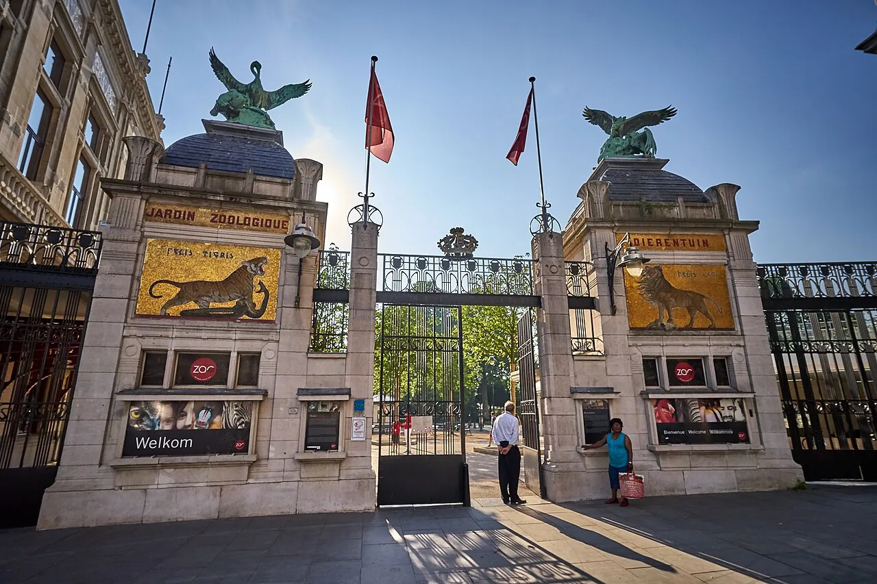
ZOO Antwerpen DRG-fan · CC BY-SA 4.0 -
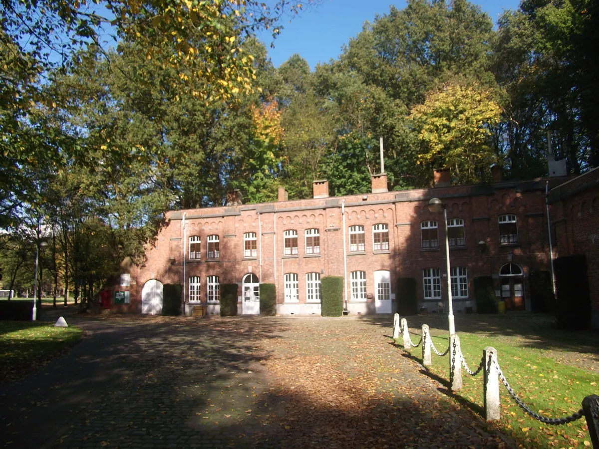
Fort van Merksem Ziyalistix · CC BY-SA 3.0 -
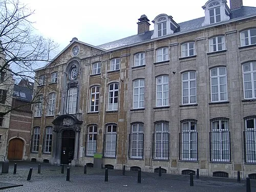
Museum Plantin-Moretus Klaus Graf · CC BY 2.5 -
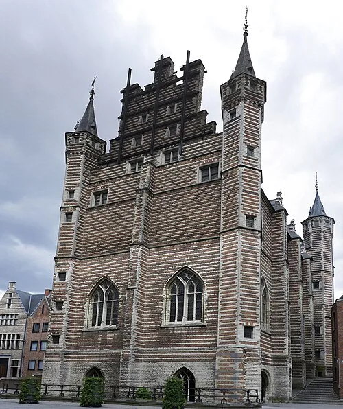
Vleeshuis Paul Hermans · CC BY 4.0 -
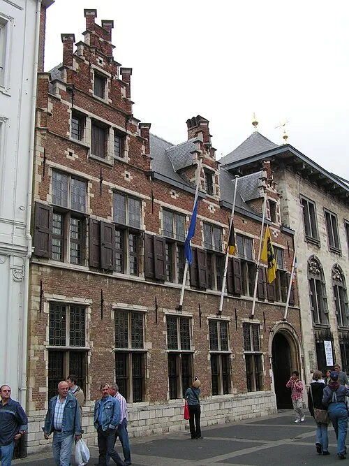
Rubenshuis Wikimedia Commons · CC BY-SA 3.0


Climate of Het Laar
Best months for sightseeingBest months for sightseeing: June–August.
This month · November
A cold month
Day 10° · Night 4° · Rain 77 mm
- Hottest month
- August (day 23°)
- Coldest month
- February (night 1°)
- Wettest month
- November (77 mm)
- Driest month
- April (50 mm)
Bars: average monthly low and high temperature. Below: precipitation. Monthly averages for 1970–2000 at about 18 km resolution, adjusted for elevation. Highlighted months are mild and relatively dry. Source: WorldClim 2.1 (CC BY 4.0).
Show values as a table
| Month | Jan | Feb | Mar | Apr | May | Jun | Jul | Aug | Sep | Oct | Nov | Dec |
|---|---|---|---|---|---|---|---|---|---|---|---|---|
| Average high (°C) | 6° | 7° | 10° | 14° | 18° | 21° | 23° | 23° | 19° | 15° | 10° | 7° |
| Average low (°C) | 1° | 1° | 3° | 5° | 9° | 12° | 14° | 13° | 11° | 7° | 4° | 2° |
| Precipitation (mm) | 65 | 51 | 63 | 50 | 61 | 76 | 73 | 60 | 74 | 73 | 77 | 75 |
How to get to Het Laar
The nearest airport is Antwerp International Airport (Deurne) (ANR), 9 km to the south as the crow flies. For international flights: Brussels Airport (BRU) (41 km). The nearest large city is Antwerp, 6 km to the southwest.
Airports
- Antwerp International Airport (Deurne) (ANR) Antwerp 9 kmsouth
- Brussels Airport (BRU) Zaventem 41 kmsouth
- Eindhoven Airport (EIN) Eindhoven 69 kmeast
Nearby large cities
- Antwerp Population: 529.2K 6 kmsouthwest
- Breda Population: 184.1K 43 kmnortheast
- Schaarbeek Population: 132.8K 44 kmsouth
- Brussels Population: 1M 47 kmsouth
- Leuven Population: 101K 47 kmsoutheast
Straight-line distances; road distances are longer. Airport data: OurAirports.
Day trips from Het Laar
Within 100 km: 226 historic and cultural sites, 486 natural sites, 918 lakes, rivers and coasts.
0–25 km203 places
- Putse Moer Lake 13 kmN
- Stappensven Lake 16 kmN
- Kleine Weel Lake 18 kmW
- Grote Weel Lake 17 kmW
25–60 km548 places
- Het Eiland Island 34 kmW
- Hofstademeer Lake 32 kmS
- Vijvers van Bellefroid Lake 44 kmSE
- Wijngaardberg Mountain 42 kmSE
60–100 km879 places
- IJsselmonde Island 67 kmN
- Knokke-Strand Beach 80 kmW
- Schemersberg Mountain 78 kmSE
- Saffraanberg Mountain 79 kmSE
Straight-line distances.
Nearby attractions & nature
Everything nearby-
Fort van Merksem Historic site, Antwerpen1.7 km E
-
Darul Tabligh Aziz Attraction, Antwerpen2.9 km S
-
Oudelandsebeek River, Antwerp Province2.2 km SW
-
Brandbeek River, Antwerp Province2.2 km SW
-
Rubenshuis Museum, Antwerpen5.8 km S
-
Vleeshuis Museum, Antwerpen5.4 km SW
Other cities and towns in Antwerpen
-
 Oosterweel Village, Antwerpen4.2 km SW
-
Sint-Mariaburg Village, Antwerpen3.1 km N
-
 Oorderen Village, Antwerpen5.7 km W
-
Keizerhoek Village, Antwerpen1.6 km SE
-
Rooswegbrug Village, Antwerpen1.8 km NW
-
Hoge Bist Village, Antwerpen1.8 km N
Sources & licences
Data last updated: