Kapellen
Located in Arrondissement of Antwerp, Antwerp Province Coordinates: 51°18′53″ N 4°26′18″ E

- Population
- 26,850
- 26.8K
- Elevation
- 11 m
- above sea level
- Local time
- UTC+01:00
- Europe/Brussels · UTC+01:00
- Places inside
- 8
- listed under Kapellen
- Airports
- ANR Antwerp International Airport (Deurne)14 km
- BRU Brussels Airport46 km
About Kapellen
Kapellen is a village. Location: Arrondissement of Antwerp, Antwerp Province. Population: 26,850. Elevation: 11 m.
Kapellen (Dutch pronunciation: [kaːˈpɛlə(n)] , old spelling: Cappellen) is a municipality in the Belgian province of Antwerp. The municipality lies in the Campine in the northern part of the province. Kapellen consists only of the town of Kapellen proper. In 2021, Kapellen had a total population of 27,157. The total area is 37.11 km2. Kapellen consists out of multiple neighbourhoods, Kapellen Center, the eastern part of Putte, Kapellenbos, Hoogboom and Zilverenhoek.
Source: Wikipedia · CC BY-SA 4.0
Photos of Kapellen
-

Vandevorst, Kris · CC BY 4.0 -

Isabel Janaert · CC0 -

P199 · CC BY-SA 3.0 -

Decoodt, Hannelore · CC BY 4.0 -
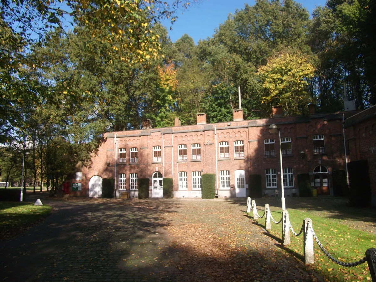
Fort van Merksem Ziyalistix · CC BY-SA 3.0


Places bordering Kapellen
- Brasschaat
- Kalmthout
- Stabroek
- Wuustwezel
Population of Kapellen over time
| 2014 | 26,540 | |
|---|---|---|
| 2018 | 26,771 | |
| 2020 | 26,981 |
Censuses and official estimates; source: Wikidata.
Climate of Kapellen
Best months for sightseeingBest months for sightseeing: June–August.
This month · November
A cold month
Day 10° · Night 4° · Rain 77 mm
- Hottest month
- August (day 23°)
- Coldest month
- February (night 1°)
- Wettest month
- November (77 mm)
- Driest month
- April (50 mm)
Bars: average monthly low and high temperature. Below: precipitation. Monthly averages for 1970–2000 at about 18 km resolution, adjusted for elevation. Highlighted months are mild and relatively dry. Source: WorldClim 2.1 (CC BY 4.0).
Show values as a table
| Month | Jan | Feb | Mar | Apr | May | Jun | Jul | Aug | Sep | Oct | Nov | Dec |
|---|---|---|---|---|---|---|---|---|---|---|---|---|
| Average high (°C) | 6° | 7° | 10° | 14° | 18° | 21° | 23° | 23° | 19° | 15° | 10° | 7° |
| Average low (°C) | 1° | 1° | 3° | 5° | 9° | 12° | 14° | 13° | 11° | 7° | 4° | 2° |
| Precipitation (mm) | 65 | 51 | 63 | 50 | 61 | 76 | 73 | 60 | 74 | 73 | 77 | 75 |
How to get to Kapellen
The nearest airport is Antwerp International Airport (Deurne) (ANR), 14 km to the south as the crow flies. For international flights: Brussels Airport (BRU) (46 km). The nearest large city is Antwerp, 11 km to the south.
Airports
- Antwerp International Airport (Deurne) (ANR) Antwerp 14 kmsouth
- Brussels Airport (BRU) Zaventem 46 kmsouth
- Eindhoven Airport (EIN) Eindhoven 67 kmeast
Nearby large cities
- Antwerp Population: 529.2K 11 kmsouth
- Breda Population: 184.1K 38 kmnortheast
- Schaarbeek Population: 132.8K 50 kmsouth
- Leuven Population: 101K 52 kmsouth
- Brussels Population: 1M 52 kmsouth
Straight-line distances; road distances are longer. Airport data: OurAirports.
Day trips from Kapellen
Within 100 km: 220 historic and cultural sites, 443 natural sites, 892 lakes, rivers and coasts.
0–25 km170 places
- Putse Moer Lake 8 kmN
- Stappensven Lake 10 kmN
- Kleine Weel Lake 18 kmW
- Grote Weel Lake 18 kmW
25–60 km500 places
- Het Eiland Island 36 kmW
- Hofstademeer Lake 37 kmS
- Vijvers van Bellefroid Lake 49 kmS
- Wijngaardberg Mountain 47 kmSE
60–100 km885 places
- IJsselmonde Island 62 kmN
- Knokke-Strand Beach 80 kmW
- Schemersberg Mountain 80 kmSE
- Saffraanberg Mountain 82 kmSE
Straight-line distances.
Places in Kapellen
8 placesBar: population relative to the most populous place in this list.
Cities & villages5
- Ertbrand · Village
- Essenhout · Village
- Hoogboom · Village
- Kappellenbos · Village
- Zilverenhoek · Village
Heritage & sights2
- Fortje van Kapellen · Historic site
- Fort van Ertbrand · Historic site
Nearby attractions & nature
Everything nearby-
Brusselsebossen Natural site, Antwerp Province0.8 km E
-
Kattekensberg Natural site, Antwerp Province2.7 km SE
-
Wolvenbos Natural site, Antwerp Province2.8 km NE
-
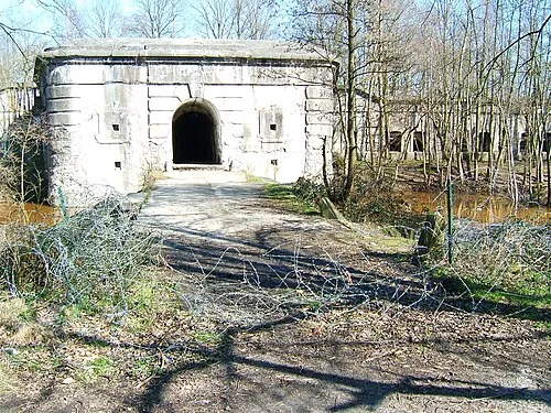 Fort van Brasschaat Historic site, Brasschaat4.3 km E
-
Kaartsebeek River, Antwerp Province2.6 km S
-
Fort van Merksem Historic site, Antwerpen5.8 km S
Sources & licences
Data last updated: · 2 independent sources