Hoge Vijvers Bos
Located in Antwerp Province, Flemish Region Coordinates: 51°21′31″ N 5°05′55″ E
- Elevation
- 41 m
- above sea level
- Local time
- UTC+01:00
- Europe/Brussels · UTC+01:00
- Airports
- EIN Eindhoven Airport22 km
- ANR Antwerp International Airport (Deurne)48 km
About Hoge Vijvers Bos
Hoge Vijvers Bos is a natural site. Location: Antwerp Province, Flemish Region. The best months to visit are June–August. The nearest airport is Eindhoven Airport (22 km). Nearby sights include Staatbossen and Appelenberg.
Climate of Hoge Vijvers Bos
Best months for sightseeingBest months for sightseeing: June–August.
This month · November
A cold month
Day 9° · Night 3° · Rain 76 mm
- Hottest month
- August (day 23°)
- Coldest month
- February (night 0°)
- Wettest month
- November (76 mm)
- Driest month
- April (47 mm)
Bars: average monthly low and high temperature. Below: precipitation. Monthly averages for 1970–2000 at about 18 km resolution, adjusted for elevation. Highlighted months are mild and relatively dry. Source: WorldClim 2.1 (CC BY 4.0).
Show values as a table
| Month | Jan | Feb | Mar | Apr | May | Jun | Jul | Aug | Sep | Oct | Nov | Dec |
|---|---|---|---|---|---|---|---|---|---|---|---|---|
| Average high (°C) | 5° | 6° | 10° | 13° | 18° | 20° | 22° | 23° | 19° | 14° | 9° | 6° |
| Average low (°C) | 0° | 0° | 2° | 4° | 8° | 11° | 12° | 12° | 10° | 7° | 3° | 1° |
| Precipitation (mm) | 69 | 53 | 65 | 47 | 60 | 74 | 70 | 60 | 70 | 71 | 76 | 75 |
How to get to Hoge Vijvers Bos
The nearest airport is Eindhoven Airport (EIN), 22 km to the northeast as the crow flies. The nearest large city is Tilburg, 22 km to the north.
Airports
- Eindhoven Airport (EIN) Eindhoven 22 kmnortheast
- Antwerp International Airport (Deurne) (ANR) Antwerp 48 kmsouthwest
- Brussels Airport (BRU) Zaventem 67 kmsouthwest
Nearby large cities
- Tilburg Population: 221.9K 22 kmnorth
- Eindhoven Population: 235.7K 28 kmeast
- Breda Population: 184.1K 34 kmnorthwest
- 's-Hertogenbosch Population: 160.8K 40 kmnorth
- Antwerp Population: 529.2K 51 kmwest
Straight-line distances; road distances are longer. Airport data: OurAirports.
Day trips from Hoge Vijvers Bos
Within 100 km: 292 historic and cultural sites, 521 natural sites, 751 lakes, rivers and coasts.
0–25 km77 places
- Zandbergen Natural site 15 kmS
- Zeven-Heerlijkhedenheide Natural site 13 kmSE
- Wegmeerheide Natural site 10 kmNW
- Warandeheide Natural site 12 kmSE
25–60 km558 places
- Putse Moer Lake 46 kmW
- Stappensven Lake 46 kmW
- Hofstademeer Lake 59 kmSW
- Groot Gat Lake 58 kmW
60–100 km929 places
- IJsselmonde Island 69 kmNW
- Île du Moulin Island 95 kmS
- Île Monsin Island 87 kmSE
- Het Eiland Island 82 kmW
Straight-line distances.
Nearest towns and villages
-
 Arendonk Village, Arrondissement Turnhout4.3 km S
-
Hooge Mierde Village, Gemeente Reusel-De Mierden3.9 km NE
-
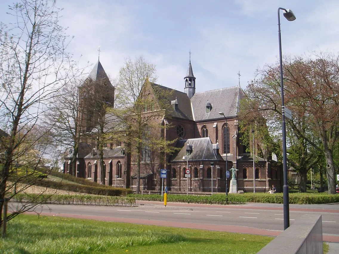 Reusel Town, Gemeente Reusel-De Mierden4.7 km E
-
Kwade Putten Village, Arendonk1.2 km W
-
Kruikeven Village, Arendonk1.6 km SE
-
Ravelsehoek Village, Arendonk2 km S
Nearby attractions & nature
Everything nearby-
Staatbossen Natural site, Antwerp Province4.4 km NW
-
Appelenberg Mountain, Gemeente Reusel-De Mierden7.5 km N
-
Klein Reusels Bos Natural site, Antwerp Province7.4 km SE
-
Reuselsbos Natural site, Antwerp Province8.5 km SE
-
Retiesgoor Natural site, Antwerp Province8.7 km S
-
Kooienbos Natural site, Antwerp Province8.8 km SE
-
Wegmeerheide Natural site, Antwerp Province10 km NW
-
Groot Bos Natural site, Antwerp Province10 km SE
Sources & licences
Data last updated: