- Elevation
- 5 m
- above sea level
- Local time
- UTC+01:00
- Europe/Brussels · UTC+01:00
- Airports
- ANR Antwerp International Airport (Deurne)12 km
- BRU Brussels Airport37 km
About Molenbeek
Molenbeek is a river. Location: East Flanders, Flemish Region. The best months to visit are June–August. The nearest airport is Antwerp International Airport (Deurne) (12 km). Nearby sights include Karper Reed and Laarbeek.
Photos of Molenbeek
-
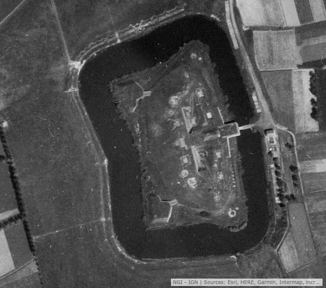
Fort van Haasdonk Wtp22 · CC BY-SA 4.0 -
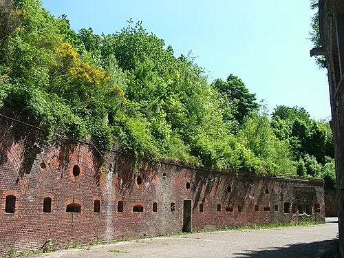
Fort 8 Annabel · CC BY-SA 3.0 -
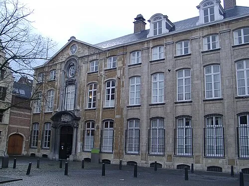
Museum Plantin-Moretus Klaus Graf · CC BY 2.5 -
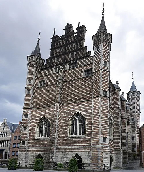
Vleeshuis Paul Hermans · CC BY 4.0


Climate of Molenbeek
Best months for sightseeingBest months for sightseeing: June–August.
This month · November
A cold month
Day 10° · Night 4° · Rain 78 mm
- Hottest month
- August (day 23°)
- Coldest month
- February (night 1°)
- Wettest month
- November (78 mm)
- Driest month
- April (49 mm)
Bars: average monthly low and high temperature. Below: precipitation. Monthly averages for 1970–2000 at about 18 km resolution, adjusted for elevation. Highlighted months are mild and relatively dry. Source: WorldClim 2.1 (CC BY 4.0).
Show values as a table
| Month | Jan | Feb | Mar | Apr | May | Jun | Jul | Aug | Sep | Oct | Nov | Dec |
|---|---|---|---|---|---|---|---|---|---|---|---|---|
| Average high (°C) | 6° | 7° | 10° | 13° | 18° | 20° | 22° | 23° | 19° | 15° | 10° | 7° |
| Average low (°C) | 1° | 1° | 3° | 5° | 9° | 12° | 14° | 13° | 11° | 8° | 4° | 2° |
| Precipitation (mm) | 64 | 51 | 61 | 49 | 61 | 76 | 71 | 60 | 75 | 75 | 78 | 75 |
How to get to Molenbeek
The nearest airport is Antwerp International Airport (Deurne) (ANR), 12 km to the east as the crow flies. For international flights: Brussels Airport (BRU) (37 km). The nearest large city is Antwerp, 8 km to the east.
Airports
- Antwerp International Airport (Deurne) (ANR) Antwerp 12 kmeast
- Brussels Airport (BRU) Zaventem 37 kmsouth
- Eindhoven Airport (EIN) Eindhoven 80 kmeast
Nearby large cities
- Antwerp Population: 529.2K 8 kmeast
- Schaarbeek Population: 132.8K 39 kmsouth
- Brussels Population: 1M 40 kmsouth
- Anderlecht Population: 160.6K 42 kmsouth
- Ghent Population: 265.1K 44 kmsouthwest
Straight-line distances; road distances are longer. Airport data: OurAirports.
Day trips from Molenbeek
Within 100 km: 223 historic and cultural sites, 533 natural sites, 973 lakes, rivers and coasts.
0–25 km200 places
- Het Eiland Island 24 kmW
- Putse Moer Lake 21 kmNE
- Stappensven Lake 24 kmNE
- Kleine Weel Lake 11 kmNW
25–60 km619 places
- Hofstademeer Lake 30 kmSE
- Vijvers van Bellefroid Lake 45 kmSE
- Wijngaardberg Mountain 44 kmSE
- Wetsberg Mountain 55 kmE
60–100 km910 places
- IJsselmonde Island 74 kmN
- Knokke-Strand Beach 72 kmW
- Klein Strand Oostende Beach 96 kmW
- Grand Étang de Fosse Lake 98 kmS
Straight-line distances.
Nearest towns and villages
-
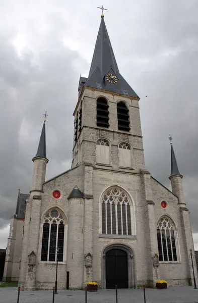 Melsele Town, Beveren-Kruibeke-Zwijndrecht1.3 km NW
-
Beveren-Kruibeke-Zwijndrecht Village, Arrondissement Sint-Niklaas1.7 km N
-
Beveren Town, Beveren-Kruibeke-Zwijndrecht2.4 km W
-
Zwijndrecht Town, Beveren-Kruibeke-Zwijndrecht2.6 km E
-
Beekmolen Village, Beveren-Kruibeke-Zwijndrecht0.4 km SW
-
Pauwstraat Village, Beveren-Kruibeke-Zwijndrecht0.7 km NW
Nearby attractions & nature
Everything nearby-
Karper Reed River, East Flanders2.4 km N
-
Laarbeek River, Antwerp Province3 km E
-
Fort van Zwijndrecht Historic site, Beveren-Kruibeke-Zwijndrecht1.3 km E
-
Verre Gracht River, East Flanders3.7 km NW
-
Rotbeek River, Antwerp Province3.7 km NE
-
Boerveldsebeek River, Antwerp Province3.7 km NE
-
Melselebeek River, East Flanders4.2 km N
-
Grote Melselebeek River, East Flanders4.2 km N
Sources & licences
Data last updated: