Arrondissement of Waremme
Located in Liège Province, Wallonia Coordinates: 50°41′54″ N 5°15′17″ E
- Population
- 80,181
- 80.2K
- Elevation
- 114 m
- above sea level
- Local time
- UTC+01:00
- Europe/Brussels · UTC+01:00
- Places inside
- 14
- listed under Arrondissement of Waremme
- Airports
- LGG Liège Airport15 km
- MST Maastricht Aachen Airport43 km
About Arrondissement of Waremme
Arrondissement of Waremme is a municipality. Location: Liège Province, Wallonia. Population: 80,181. Elevation: 114 m. The best months to visit are June–August. The nearest airport is Liège Airport (15 km). Nearby sights include Mulle and Lange Beek.
Climate of Arrondissement of Waremme
Best months for sightseeingBest months for sightseeing: June–August.
This month · November
A cold month
Day 9° · Night 3° · Rain 72 mm
- Hottest month
- August (day 23°)
- Coldest month
- February (night 0°)
- Wettest month
- July (78 mm)
- Driest month
- February (54 mm)
Bars: average monthly low and high temperature. Below: precipitation. Monthly averages for 1970–2000 at about 18 km resolution, adjusted for elevation. Highlighted months are mild and relatively dry. Source: WorldClim 2.1 (CC BY 4.0).
Show values as a table
| Month | Jan | Feb | Mar | Apr | May | Jun | Jul | Aug | Sep | Oct | Nov | Dec |
|---|---|---|---|---|---|---|---|---|---|---|---|---|
| Average high (°C) | 5° | 6° | 10° | 13° | 18° | 21° | 23° | 23° | 19° | 14° | 9° | 6° |
| Average low (°C) | 0° | 0° | 3° | 4° | 8° | 11° | 13° | 13° | 10° | 7° | 3° | 2° |
| Precipitation (mm) | 61 | 54 | 63 | 54 | 66 | 77 | 78 | 76 | 60 | 66 | 72 | 73 |
How to get to Arrondissement of Waremme
The nearest airport is Liège Airport (LGG), 15 km to the southeast as the crow flies. For international flights: Maastricht Aachen Airport (MST) (43 km). The nearest large city is Liège, 23 km to the east.
Airports
- Liège Airport (LGG) Grâce-Hollogne 15 kmsoutheast
- Maastricht Aachen Airport (MST) Maastricht 43 kmnortheast
- Brussels Airport (BRU) Zaventem 59 kmnorthwest
Nearby large cities
- Liège Population: 195.3K 23 kmeast
- Maastricht Population: 122.4K 35 kmnortheast
- Namur Population: 110.9K 38 kmsouthwest
- Leuven Population: 101K 44 kmnorthwest
- Aachen Population: 265.2K 59 kmeast
Straight-line distances; road distances are longer. Airport data: OurAirports.
Day trips from Arrondissement of Waremme
Within 100 km: 293 historic and cultural sites, 1,645 natural sites, 1,138 lakes, rivers and coasts.
0–25 km149 places
- Saffraanberg Mountain 9 kmN
- Bois de Vivegnis Natural site 14 kmSE
- Bois de la Vecquée Natural site 23 kmSE
- Bois del Troque Natural site 19 kmSE
25–60 km959 places
- Île du Moulin Island 28 kmSE
- Île Monsin Island 27 kmE
- Île de Franche Garenne Island 30 kmE
- Grand Étang de Fosse Lake 55 kmSW
60–100 km1,968 places
- Île d'Androssart Island 65 kmSW
- Putse Moer Lake 96 kmNW
- Étang de Virelles Lake 95 kmSW
- Stappensven Lake 97 kmNW
Straight-line distances.
Arrondissement of Waremme and similar cities
Side by side with cities of similar size in the same country: population, elevation and climate.
| Measure | Arrondissement of Waremme | Leuven | Namur | Bruges |
|---|---|---|---|---|
| Population | 80.2K | 101K | 110.9K | 118.5K |
| Elevation | 114 m | 28 m | 88 m | 13 m |
| Summer day (hottest month) | 23° | 23° | 23° | 22° |
| Winter night (coldest month) | 0° | 1° | 0° | 1° |
| Annual rainfall | 800 mm | 765 mm | 813 mm | 783 mm |
| Best months | Jun–Aug | Jun–Aug | Jun–Aug | Jun–Sep |
| Distance | — | 44 km | 38 km | 154 km |
Climate values are 1970–2000 monthly averages; straight-line distance.
Places in Arrondissement of Waremme
14 placesHannut
Population: 16.6K
Waremme
Population: 15.3K

Saint-Georges-sur-Meuse
Population: 6.8K

Braives
Population: 6.4K
Remicourt
Population: 5.9K

Faimes
Population: 3.9K
- 7 Oreye 3.9K
- 8 Geer 3.5K
- 9 Crisnée 3.4K
- 10 Lincent 3.3K
- 11 Fexhe-le-Haut-Clocher 3.2K
- 12 Berloz 3.1K
- 13 Donceel 3.1K
- 14 Wasseiges 2.9K
Bar: population relative to the most populous place in this list.
Nearby attractions & nature
Everything nearby-
Mulle River, Belgium0.9 km E
-
Lange Beek River, Limburg Province1.5 km W
-
Yerne River, Liège Province6.8 km E
-
Logebeek River, Limburg Province5.9 km N
-
Voortbeek River, Limburg Province6.9 km NW
-
Saffraanberg Mountain, Sint-Truiden9.5 km N
-
Bois de Thier Mehaigne Natural site, Liège Province12 km S
-
Dreye River, Liège Province12 km SW
Other cities and towns in Liège Province
-
Waremme Town, Waremme0.1 km SE
-
Arrondissement of Liège Municipality, Liège Province23 km E
-
Remicourt Town, Remicourt5.5 km E
-
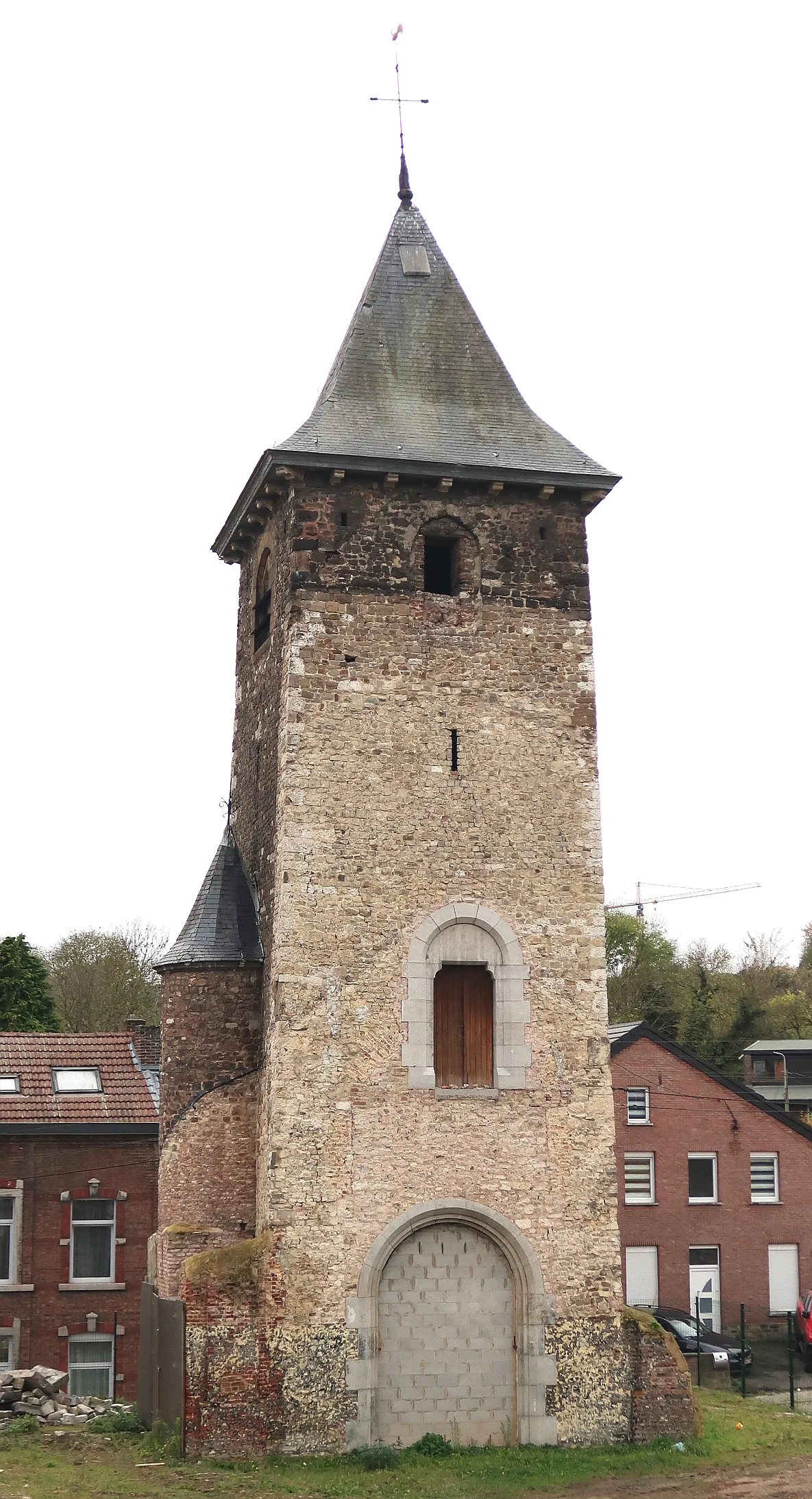 Hollogne-aux-Pierres Town, Grâce-Hollogne17 km SE
-
Hannut Town, Hannut13 km W
-
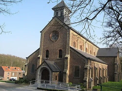 Jemeppe-sur-Meuse Town, Seraing19 km SE
Sources & licences
Data last updated: