Bois de Mambaye
Located in Liège Province, Wallonia Coordinates: 50°28′10″ N 5°51′30″ E
- Elevation
- 376 m
- above sea level
- Local time
- UTC+01:00
- Europe/Brussels · UTC+01:00
- Airports
- LGG Liège Airport35 km
- MST Maastricht Aachen Airport50 km
About Bois de Mambaye
Bois de Mambaye is a natural site. Location: Liège Province, Wallonia. The best months to visit are June–August. The nearest airport is Liège Airport (35 km). Nearby sights include Bois du Thier des Raihons and Bois de Picherotte.
Climate of Bois de Mambaye
Best months for sightseeingBest months for sightseeing: June–August.
This month · November
A wet month
Day 7° · Night 2° · Rain 107 mm
- Hottest month
- August (day 21°)
- Coldest month
- February (night -1°)
- Wettest month
- December (111 mm)
- Driest month
- April (79 mm)
Bars: average monthly low and high temperature. Below: precipitation. Monthly averages for 1970–2000 at about 18 km resolution, adjusted for elevation. Highlighted months are mild and relatively dry. Source: WorldClim 2.1 (CC BY 4.0).
Show values as a table
| Month | Jan | Feb | Mar | Apr | May | Jun | Jul | Aug | Sep | Oct | Nov | Dec |
|---|---|---|---|---|---|---|---|---|---|---|---|---|
| Average high (°C) | 4° | 4° | 8° | 11° | 16° | 19° | 21° | 21° | 17° | 13° | 7° | 5° |
| Average low (°C) | -1° | -1° | 2° | 4° | 8° | 10° | 12° | 12° | 10° | 6° | 2° | 0° |
| Precipitation (mm) | 101 | 82 | 94 | 79 | 85 | 91 | 96 | 85 | 85 | 87 | 107 | 111 |
How to get to Bois de Mambaye
The nearest airport is Liège Airport (LGG), 35 km to the northwest as the crow flies. For international flights: Maastricht Aachen Airport (MST) (50 km). The nearest large city is Liège, 28 km to the northwest.
Airports
- Liège Airport (LGG) Grâce-Hollogne 35 kmnorthwest
- Maastricht Aachen Airport (MST) Maastricht 50 kmnorth
- Luxembourg-Findel International Airport (LUX) Luxembourg 97 kmsouth
Nearby large cities
- Liège Population: 195.3K 28 kmnorthwest
- Aachen Population: 265.2K 38 kmnortheast
- Maastricht Population: 122.4K 44 kmnorth
- Namur Population: 110.9K 70 kmwest
- Mönchengladbach Population: 261.7K 90 kmnortheast
Straight-line distances; road distances are longer. Airport data: OurAirports.
Day trips from Bois de Mambaye
Within 100 km: 351 historic and cultural sites, 2,334 natural sites, 946 lakes, rivers and coasts.
0–25 km221 places
- Île du Moulin Island 21 kmNW
- Lac de la Gileppe Lake 16 kmNE
- Lac d'Eupen Lake 24 kmNE
- Lac de Robertville Lake 19 kmE
25–60 km1,113 places
- Île Monsin Island 26 kmNW
- Île de Franche Garenne Island 28 kmNW
- Lac de Nisramont Lake 39 kmS
- Steinkopf Mountain 38 kmSE
60–100 km2,297 places
- Île d'Androssart Island 80 kmSW
- Grand Étang de Fosse Lake 84 kmW
- Étang des Épioux Lake 89 kmSW
- Étang de Boiron Lake 87 kmSW
Straight-line distances.
Nearest towns and villages

Nearby attractions & nature
Everything nearby-
Bois du Thier des Raihons Natural site, Liège Province1.3 km S
-
Bois de Picherotte Natural site, Liège Province1.8 km E
-
Bois de Plein Fays les Aunais Natural site, Liège Province2.1 km SW
-
Bois de Belheid Natural site, Liège Province2.4 km NE
-
Bois de Lébiolle Natural site, Liège Province2.8 km SW
-
Bois des Minières Natural site, Liège Province2.9 km E
-
Bois du Chincul Natural site, Liège Province3.2 km N
-
Bois de la Longue Heid Natural site, Liège Province3.5 km N
More nature in Belgium
-
Bois de Rohaimont Natural site, Liège Province3.7 km NW
-
Bois du Heid de Pouhon Natural site, Liège Province3.8 km NE
-
Haute-Nitémont Natural site, Liège Province4.3 km SE
-
Bois Fagne Natural site, Liège Province4.4 km E
-
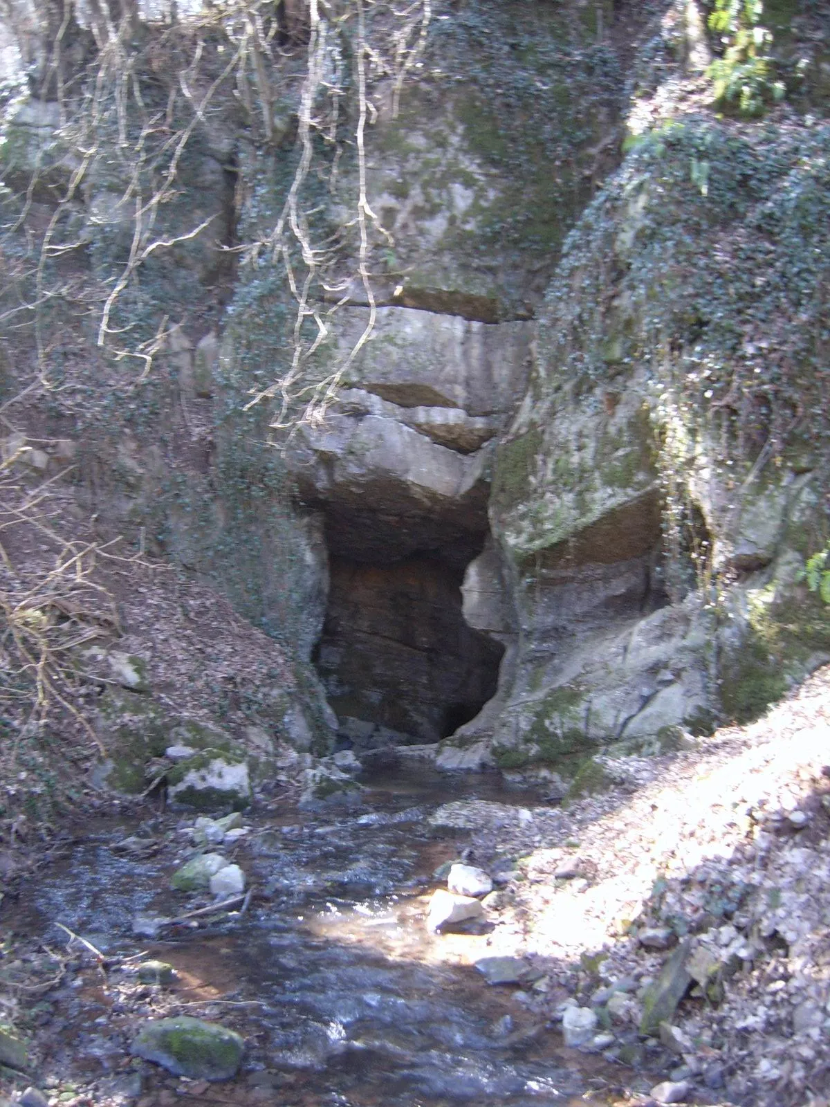 Vallon des Chantoirs Natural site, Liège Province10 km W
-
Bois Jacques Mathieux Natural site, Liège Province4.8 km S
Sources & licences
Data last updated: