- Elevation
- 409 m
- above sea level
- Local time
- UTC+01:00
- Europe/Brussels · UTC+01:00
- Airports
- LGG Liège Airport70 km
- LUX Luxembourg-Findel International Airport77 km
About Bois Dony
Bois Dony is a natural site. Location: Luxembourg Province, Wallonia. The best months to visit are June–August. The nearest airport is Liège Airport (70 km). Nearby sights include Bois de la Charbonnière and Bois de Poix.
Climate of Bois Dony
Best months for sightseeingBest months for sightseeing: June–August.
This month · November
A cold month
Day 7° · Night 2° · Rain 88 mm
- Hottest month
- August (day 21°)
- Coldest month
- February (night -2°)
- Wettest month
- November (88 mm)
- Driest month
- February (67 mm)
Bars: average monthly low and high temperature. Below: precipitation. Monthly averages for 1970–2000 at about 18 km resolution, adjusted for elevation. Highlighted months are mild and relatively dry. Source: WorldClim 2.1 (CC BY 4.0).
Show values as a table
| Month | Jan | Feb | Mar | Apr | May | Jun | Jul | Aug | Sep | Oct | Nov | Dec |
|---|---|---|---|---|---|---|---|---|---|---|---|---|
| Average high (°C) | 3° | 4° | 8° | 11° | 16° | 19° | 21° | 21° | 17° | 12° | 7° | 4° |
| Average low (°C) | -1° | -2° | 1° | 3° | 7° | 10° | 12° | 11° | 9° | 6° | 2° | 0° |
| Precipitation (mm) | 77 | 67 | 73 | 67 | 78 | 85 | 82 | 78 | 72 | 77 | 88 | 85 |
How to get to Bois Dony
The nearest airport is Liège Airport (LGG), 70 km to the north as the crow flies. For international flights: Luxembourg-Findel International Airport (LUX) (77 km). The nearest large city is Namur, 60 km to the northwest.
Airports
- Liège Airport (LGG) Grâce-Hollogne 70 kmnorth
- Luxembourg-Findel International Airport (LUX) Luxembourg 77 kmsoutheast
- Brussels South Charleroi Airport (CRL) Charleroi 80 kmnorthwest
Nearby large cities
- Namur Population: 110.9K 60 kmnorthwest
- Liège Population: 195.3K 71 kmnorth
- Charleroi Population: 200.1K 77 kmnorthwest
- Maastricht Population: 122.4K 96 kmnorth
- Trier Population: 100.1K 98 kmeast
Straight-line distances; road distances are longer. Airport data: OurAirports.
Day trips from Bois Dony
Within 100 km: 206 historic and cultural sites, 1,705 natural sites, 674 lakes, rivers and coasts.
0–25 km263 places
- Bois de Wérimont Mountain 18 kmNW
- Hardie Natural site 18 kmNW
- Haie de Wez Natural site 12 kmSW
- Bois de Wève Natural site 11 kmNW
25–60 km787 places
- Île d'Androssart Island 40 kmNW
- Étang des Épioux Lake 29 kmS
- Étang de Boiron Lake 31 kmW
- Lac de Nisramont Lake 28 kmNE
60–100 km1,535 places
- Île du Moulin Island 64 kmN
- Île Monsin Island 75 kmN
- Île de Franche Garenne Island 80 kmN
- Étang de Virelles Lake 71 kmW
Straight-line distances.
Nearest towns and villages
-
Saint-Hubert Village, Arrondissement of Neufchâteau2.8 km N
-
Hatrival Village, Saint-Hubert1.6 km SE
-
Arville Village, Saint-Hubert2.1 km NW
-
Préfroid Village, Saint-Hubert1.2 km E
-
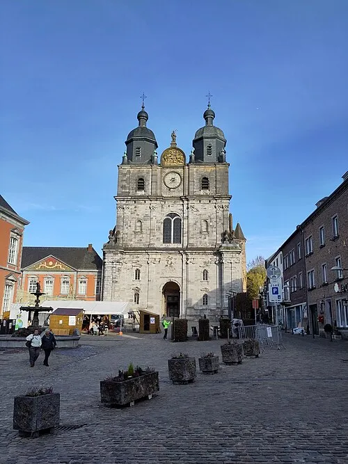 Saint-Hubert Town, Saint-Hubert3.1 km E
-
Lorcy Village, Saint-Hubert1.8 km NE
Nearby attractions & nature
Everything nearby-
Bois de la Charbonnière Natural site, Luxembourg Province0.4 km S
-
Bois de Poix Natural site, Luxembourg Province1.9 km W
-
Bois de Baulmio Natural site, Luxembourg Province3 km SW
-
Bois de Germainvaux Natural site, Luxembourg Province3 km N
-
Bois de Louvroy Natural site, Luxembourg Province3 km E
-
Bois de Berthomont Natural site, Luxembourg Province3.7 km SE
-
Poix River, Luxembourg Province2.4 km W
-
Bois de Remimont Natural site, Luxembourg Province4.5 km W
Sources & licences
Data last updated: