
- Population
- 944
- 944
- Elevation
- 158 m
- above sea level
- Local time
- UTC+01:00
- Europe/Brussels · UTC+01:00
- Airports
- CRL Brussels South Charleroi Airport30 km
- BRU Brussels Airport43 km
About Liernu
Liernu is a village. Location: Éghezée, Arrondissement de Namur. Population: 944. Elevation: 158 m.
Liernu (French pronunciation: [ljɛʁny]) is a village of Wallonia and a district of the municipality of Éghezée, located in the province of Namur, Belgium. Liernu is best known for its centuries old Big Oak Tree (50°35′03″N 4°49′40″E), one of the largest and oldest in continental Europe. The tree took part in the "European Tree of the Year" competition in 2016 as a representative of Belgium. Liernu had 806 inhabitants as of March 2006, and extends over 625 hectares (1,540 acres).
Source: Wikipedia · CC BY-SA 4.0
Photos of Liernu
-

Eebie · CC BY-SA 4.0 -

Jean-Pol GRANDMONT · CC BY 3.0


Climate of Liernu
Best months for sightseeingBest months for sightseeing: June–August.
This month · November
A cold month
Day 9° · Night 3° · Rain 75 mm
- Hottest month
- August (day 23°)
- Coldest month
- February (night 0°)
- Wettest month
- June (76 mm)
- Driest month
- February (53 mm)
Bars: average monthly low and high temperature. Below: precipitation. Monthly averages for 1970–2000 at about 18 km resolution, adjusted for elevation. Highlighted months are mild and relatively dry. Source: WorldClim 2.1 (CC BY 4.0).
Show values as a table
| Month | Jan | Feb | Mar | Apr | May | Jun | Jul | Aug | Sep | Oct | Nov | Dec |
|---|---|---|---|---|---|---|---|---|---|---|---|---|
| Average high (°C) | 5° | 6° | 9° | 13° | 17° | 20° | 22° | 23° | 19° | 14° | 9° | 6° |
| Average low (°C) | 0° | 0° | 2° | 4° | 8° | 11° | 13° | 13° | 10° | 7° | 3° | 1° |
| Precipitation (mm) | 63 | 53 | 65 | 54 | 69 | 76 | 70 | 70 | 60 | 68 | 75 | 74 |
How to get to Liernu
The nearest airport is Brussels South Charleroi Airport (CRL), 30 km to the southwest as the crow flies. The nearest large city is Namur, 13 km to the south.
Airports
- Brussels South Charleroi Airport (CRL) Charleroi 30 kmsouthwest
- Brussels Airport (BRU) Zaventem 43 kmnorthwest
- Liège Airport (LGG) Grâce-Hollogne 44 kmeast
Nearby large cities
- Namur Population: 110.9K 13 kmsouth
- Charleroi Population: 200.1K 33 kmsouthwest
- Leuven Population: 101K 34 kmnorth
- Schaarbeek Population: 132.8K 45 kmnorthwest
- Brussels Population: 1M 45 kmnorthwest
Straight-line distances; road distances are longer. Airport data: OurAirports.
Day trips from Liernu
Within 100 km: 281 historic and cultural sites, 1,427 natural sites, 1,185 lakes, rivers and coasts.
0–25 km155 places
- Nameche terril Mountain 16 kmSE
- Bois Wanchalle Natural site 15 kmSE
- Bois de la Ville Natural site 21 kmSW
- Bois des Vieilles Ferrières Natural site 11 kmSW
25–60 km1,152 places
- Île du Moulin Island 55 kmE
- Île Monsin Island 58 kmE
- Île d'Androssart Island 44 kmS
- Hofstademeer Lake 50 kmNW
60–100 km1,586 places
- Het Eiland Island 94 kmNW
- Île de Franche Garenne Island 62 kmE
- Putse Moer Lake 93 kmN
- Étang de Virelles Lake 66 kmSW
Straight-line distances.
Nearby attractions & nature
Everything nearby-
Bois de Grand-Leez Natural site, Namur Province3.4 km W
-
Jette River, Namur Province5.7 km W
-
Jausselette River, Wallonia6.2 km N
-
Bois de Buis Natural site, Wallonia6.8 km NW
-
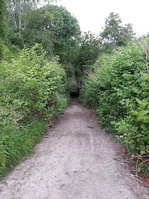 Fort de Suarlée Historic site, Arrondissement of Namur11 km S
-
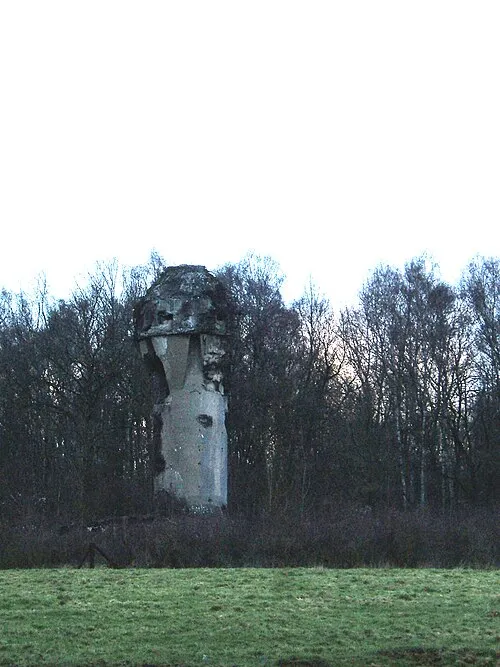 Fort de Marchovelette Historic site, Fernelmont11 km SE
Sources & licences
Data last updated: · 2 independent sources