Gorno Kraishte
Local name: Горно Краище
Located in Gorno Kraishhe, Belitsa Coordinates: 41°54′00″ N 23°35′00″ E

- Population
- 1,208
- 1.2K
- Elevation
- 784 m
- above sea level
- Local time
- UTC+02:00
- Europe/Sofia · UTC+02:00
- Airports
- SOF Sofia Airport90 km
- PDV Plovdiv International Airport107 km
About Gorno Kraishte
Gorno Kraishte is a village. Location: Gorno Kraishhe, Belitsa. Population: 1,208. Elevation: 784 m.
Gorno Kraishte (Bulgarian: Горно Краище) is a village in the municipality of Belitsa, in Blagoevgrad Province, Bulgaria. It is located approximately 6 kilometers south of Belitsa and 90 kilometers southeast from Sofia. As of 2010 it had a population of 1176 people. The population is Muslim of pomak origin.
Source: Wikipedia · CC BY-SA 4.0
At a glance
- Area
- 6.2 km²
Source: Wikidata
Photos of Gorno Kraishte
-

Daewoode88 · CC BY-SA 4.0

Population of Gorno Kraishte over time
| 2014 | 1,198 | |
|---|---|---|
| 2015 | 1,205 | |
| 2016 | 1,208 | |
| 2017 | 1,199 | |
| 2018 | 1,192 | |
| 2019 | 1,174 | |
| 2020 | 1,171 | |
| 2021 | 1,161 | |
| 2022 | 1,191 | |
| 2023 | 1,189 | |
| 2024 | 1,185 | |
| 2025 | 1,168 |
Censuses and official estimates; source: Wikidata.
Climate of Gorno Kraishte
Best months for sightseeingBest months for sightseeing: June, August–September.
This month · November
A cold month
Day 10° · Night 1° · Rain 51 mm
- Hottest month
- July (day 27°)
- Coldest month
- January (night -4°)
- Wettest month
- May (66 mm)
- Driest month
- September (35 mm)
Bars: average monthly low and high temperature. Below: precipitation. Monthly averages for 1970–2000 at about 18 km resolution, adjusted for elevation. Highlighted months are mild and relatively dry. Source: WorldClim 2.1 (CC BY 4.0).
Show values as a table
| Month | Jan | Feb | Mar | Apr | May | Jun | Jul | Aug | Sep | Oct | Nov | Dec |
|---|---|---|---|---|---|---|---|---|---|---|---|---|
| Average high (°C) | 4° | 5° | 10° | 15° | 20° | 24° | 27° | 26° | 23° | 16° | 10° | 5° |
| Average low (°C) | -4° | -4° | 0° | 4° | 8° | 11° | 13° | 13° | 10° | 5° | 1° | -2° |
| Precipitation (mm) | 37 | 41 | 44 | 55 | 66 | 66 | 52 | 43 | 35 | 41 | 51 | 48 |
How to get to Gorno Kraishte
The nearest airport is Sofia Airport (SOF), 90 km to the north as the crow flies. The nearest large city is Sofia, 91 km to the north.
Airports
- Sofia Airport (SOF) Sofia 90 kmnorth
- Plovdiv International Airport (PDV) Plovdiv 107 kmeast
- Kavala Alexander the Great International Airport (KVA) Kavala 140 kmsoutheast
Nearby large cities
- Sofia Population: 1.2M 91 kmnorth
- Plovdiv Population: 329.5K 101 kmeast
- Skopje Population: 474.9K 179 kmwest
- Stara Zagora Population: 121.6K 180 kmeast
- Niš Population: 250K 210 kmnorthwest
Straight-line distances; road distances are longer. Airport data: OurAirports.
Day trips from Gorno Kraishte
Within 100 km: 11 historic and cultural sites, 26 natural sites.
0–25 km4 places
- Vihren Mountain 21 kmSW
- Mangar Tepe Mountain 21 kmS
- Momin Dvor Mountain 24 kmS
- Dzhengalitsa Mountain 24 kmS
25–60 km9 places
- Saraevo Mountain 57 kmW
- Mehmedov Bor Mountain 55 kmW
- Tuterica Mountain 54 kmW
- Runtevica Mountain 54 kmW
60–100 km24 places
- Kapnótopos Historic site 61 kmS
- Makryótissa Historic site 96 kmS
- Golak Mountain 71 kmW
- Viničko Kale Historic site 90 kmW
Straight-line distances.
Nearby attractions & nature
Everything nearby-
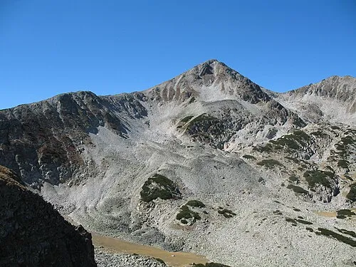 Mangar Tepe Mountain, Bansko21 km S
-
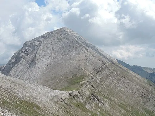 Vihren Mountain, Bansko21 km SW
-
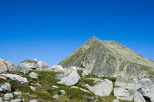 Momin Dvor Mountain, Pernik24 km S
-
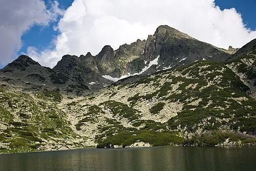 Dzhengalitsa Mountain, Sandanski24 km S
Sources & licences
Data last updated: · 2 independent sources