Mursalevo
Local name: Мурсалево
Located in Kocherinovo, Kyustendil Coordinates: 42°07′00″ N 23°03′00″ E
- Population
- 645
- 645
- Elevation
- 434 m
- above sea level
- Local time
- UTC+02:00
- Europe/Sofia · UTC+02:00
- Places inside
- 1
- listed under Mursalevo
- Airports
- SOF Sofia Airport71 km
- SKP Skopje International Airport119 km
About Mursalevo
Mursalevo is a municipality. Location: Kocherinovo, Kyustendil. Population: 645. Elevation: 434 m.
Mursalevo (Bulgarian: Мурсалево) is a village in Kocherinovo Municipality, Kyustendil Province, south-western Bulgaria. As of 2013 it has 413 inhabitants. It is situated on the left bank of the Struma River at about 2 km north of the municipal centre Kocherinovo. The remains of a Neolithic village, estimated to be 8,000 years old, have been excavated nearby. The foundations of more than 60 houses have been discovered, some of them with two storeys.
Source: Wikipedia · CC BY-SA 4.0
At a glance
- Area
- 12.4 km²
Source: Wikidata
Population of Mursalevo over time
| 2014 | 399 | |
|---|---|---|
| 2015 | 399 | |
| 2016 | 388 | |
| 2017 | 378 | |
| 2018 | 351 | |
| 2019 | 331 | |
| 2020 | 320 | |
| 2021 | 317 | |
| 2022 | 340 | |
| 2023 | 338 | |
| 2024 | 340 | |
| 2025 | 335 |
Censuses and official estimates; source: Wikidata.
Climate of Mursalevo
Best months for sightseeingBest months for sightseeing: May, September.
This month · November
A cold month
Day 11° · Night 1° · Rain 52 mm
- Hottest month
- July (day 30°)
- Coldest month
- January (night -3°)
- Wettest month
- June (59 mm)
- Driest month
- January (31 mm)
Bars: average monthly low and high temperature. Below: precipitation. Monthly averages for 1970–2000 at about 18 km resolution, adjusted for elevation. Highlighted months are mild and relatively dry. Source: WorldClim 2.1 (CC BY 4.0).
Show values as a table
| Month | Jan | Feb | Mar | Apr | May | Jun | Jul | Aug | Sep | Oct | Nov | Dec |
|---|---|---|---|---|---|---|---|---|---|---|---|---|
| Average high (°C) | 5° | 8° | 12° | 18° | 23° | 27° | 30° | 29° | 25° | 19° | 11° | 6° |
| Average low (°C) | -3° | -2° | 1° | 5° | 10° | 13° | 15° | 14° | 11° | 6° | 1° | -2° |
| Precipitation (mm) | 31 | 37 | 38 | 45 | 58 | 59 | 48 | 39 | 37 | 42 | 52 | 45 |
How to get to Mursalevo
The nearest airport is Sofia Airport (SOF), 71 km to the northeast as the crow flies. The nearest large city is Sofia, 68 km to the north.
Airports
- Sofia Airport (SOF) Sofia 71 kmnortheast
- Skopje International Airport (SKP) Ilinden 119 kmwest
- Plovdiv International Airport (PDV) Plovdiv 149 kmeast
Nearby large cities
- Sofia Population: 1.2M 68 kmnorth
- Plovdiv Population: 329.5K 141 kmeast
- Stara Zagora Population: 121.6K 217 kmeast
- Craiova Population: 234.1K 252 kmnorth
- Edirne Population: 180K 295 kmeast
Straight-line distances; road distances are longer. Airport data: OurAirports.
Day trips from Mursalevo
Within 100 km: 7 historic and cultural sites, 22 natural sites.
0–25 km3 places
- Damga Mountain 23 kmE
- Borova Mogila Mountain 20 kmSW
- Kamenita Mogila Mountain 22 kmW
25–60 km16 places
- Saraevo Mountain 29 kmSW
- Mehmedov Bor Mountain 29 kmSW
- Tuterica Mountain 31 kmS
- Runtevica Mountain 32 kmS
60–100 km10 places
- Kapnótopos Historic site 87 kmS
- Semer Kajasen Mountain 87 kmS
- Vetren Mountain 93 kmNW
- Sip Mountain 93 kmN
Straight-line distances.
Places in Mursalevo
1 placeCities & villages1
- Mursalevo · Village
Nearby attractions & nature
Everything nearby-
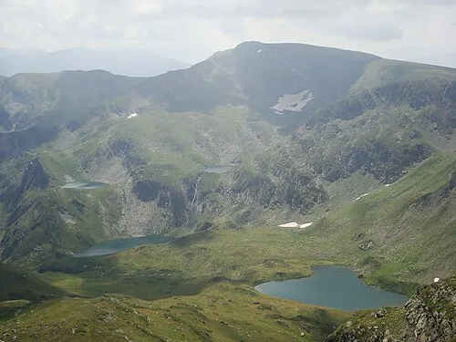 Damga Mountain, Sofia Province23 km E
-
Borova Mogila Mountain, Blagoevgrad20 km SW
-
Kamenita Mogila Mountain, Bulgaria22 km W
Sources & licences
Data last updated: · 2 independent sources