- Elevation
- 556 m
- above sea level
- Local time
- UTC+02:00
- Europe/Sofia · UTC+02:00
- Airports
- PDV Plovdiv International Airport62 km
- SOF Sofia Airport146 km
About Turia
Turia is a village. Location: Turija, Pavel Banya. Elevation: 556 m. The best months to visit are May–June, September. The nearest airport is Plovdiv International Airport (62 km). Nearby sights include Rozova Dolina and Sredna Gora.
Photos of Turia
-
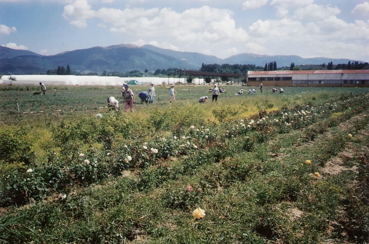
Rozova Dolina Avishai Teicher · Public domain

Climate of Turia
Best months for sightseeingBest months for sightseeing: May–June, September.
This month · November
A cold month
Day 10° · Night 0° · Rain 50 mm
- Hottest month
- July (day 27°)
- Coldest month
- January (night -5°)
- Wettest month
- May (74 mm)
- Driest month
- January (39 mm)
Bars: average monthly low and high temperature. Below: precipitation. Monthly averages for 1970–2000 at about 18 km resolution, adjusted for elevation. Highlighted months are mild and relatively dry. Source: WorldClim 2.1 (CC BY 4.0).
Show values as a table
| Month | Jan | Feb | Mar | Apr | May | Jun | Jul | Aug | Sep | Oct | Nov | Dec |
|---|---|---|---|---|---|---|---|---|---|---|---|---|
| Average high (°C) | 4° | 6° | 10° | 16° | 21° | 25° | 27° | 27° | 23° | 16° | 10° | 5° |
| Average low (°C) | -5° | -4° | -1° | 4° | 9° | 12° | 14° | 14° | 10° | 5° | 0° | -3° |
| Precipitation (mm) | 39 | 42 | 44 | 58 | 74 | 73 | 59 | 47 | 41 | 39 | 50 | 48 |
How to get to Turia
The nearest airport is Plovdiv International Airport (PDV), 62 km to the southwest as the crow flies. The nearest large city is Stara Zagora, 41 km to the east.
Airports
- Plovdiv International Airport (PDV) Plovdiv 62 kmsouthwest
- Sofia Airport (SOF) Sofia 146 kmwest
- Kavala Alexander the Great International Airport (KVA) Kavala 190 kmsouth
Nearby large cities
- Stara Zagora Population: 121.6K 41 kmeast
- Plovdiv Population: 329.5K 58 kmsouthwest
- Edirne Population: 180K 150 kmsoutheast
- Sofia Population: 1.2M 153 kmwest
- Rousse Population: 121.2K 156 kmnortheast
Straight-line distances; road distances are longer. Airport data: OurAirports.
Day trips from Turia
Within 100 km: 8 natural sites.
0–25 km2 places
- Sredna Gora Mountain 17 kmSW
- Rozova Dolina Natural site 2 kmNW
25–60 km3 places
- Bedek Mountain 29 kmNE
- Nebet Tepe Mountain 58 kmSW
- Ambaritsa Mountain 37 kmNW
60–100 km3 places
- Svishtiplaz Mountain 90 kmW
- Ruen Mountain 73 kmSW
- Persenk Mountain 96 kmSW
Straight-line distances.
Nearby attractions & nature
Everything nearby-
Rozova Dolina Natural site, Stara Zagora2.3 km NW
-
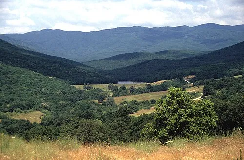 Sredna Gora Mountain, Plovdiv17 km SW
Sources & licences
Data last updated: