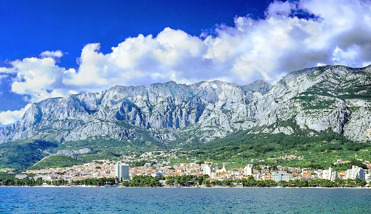
- Elevation
- 1,762 m
- above sea level
- Local time
- UTC+01:00
- Europe/Zagreb · UTC+01:00
- Airports
- BWK Brač Airport32 km
- OMO Mostar International Airport63 km
About Biokovo
Biokovo is a mountain. Location: Croatia. Elevation: 1,762 m.
Biokovo (pronounced [bîɔkɔʋɔ]) is the second-highest mountain range in Croatia, located along the Dalmatian coast of the Adriatic Sea, between the rivers of Cetina and Neretva. It is sometimes referred to as Bijakova, especially among inhabitants of the eastern side of the mountain. Its highest peak is Sveti Jure (Saint George), at 1762 m.a.s.l. It shows a typical karst landscape. Atop the peak there is a powerful FM and DVB-T transmitter.
Read more on Wikipedia Text: Wikipedia contributors · CC BY-SA 4.0 · shortened
At a glance
- Length
- 25 km
Source: Wikidata
Climate of Biokovo
Best months for sightseeingBest months for sightseeing: June–August.
Bars: average monthly low and high temperature. Below: precipitation. Monthly averages for 1970–2000 at about 18 km resolution, adjusted for elevation. Highlighted months are mild and relatively dry. Source: WorldClim 2.1 (CC BY 4.0).
Show values as a table
| Month | Jan | Feb | Mar | Apr | May | Jun | Jul | Aug | Sep | Oct | Nov | Dec |
|---|---|---|---|---|---|---|---|---|---|---|---|---|
| Average high (°C) | 0° | 0° | 3° | 7° | 12° | 16° | 19° | 19° | 14° | 9° | 5° | 1° |
| Average low (°C) | -6° | -7° | -4° | -1° | 3° | 6° | 9° | 8° | 5° | 2° | -2° | -5° |
| Precipitation (mm) | 80 | 72 | 74 | 76 | 62 | 59 | 39 | 54 | 75 | 101 | 118 | 100 |
Airports nearest to Biokovo
- Brač Airport (BWK) Gornji Humac 32 km
- Mostar International Airport (OMO) Mostar 63 km
- Split Saint Jerome Airport (SPU) Split 67 km
Straight-line distance; airports with scheduled flights only. Source: OurAirports (public domain).
Nearest towns and villages
-
Makarska City, Town of Makarska5.6 km SW
-
Veliko Brdo Village, Town of Makarska4.2 km W
-
 Tučepi City, Municipality of Tučepi6.5 km S
-
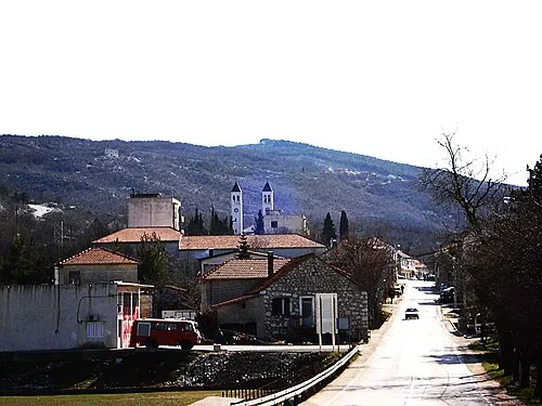 Zagvozd City, Municipality of Zagvozd7.6 km N
-
Podgora City, Municipality of Podgora9.6 km S
-
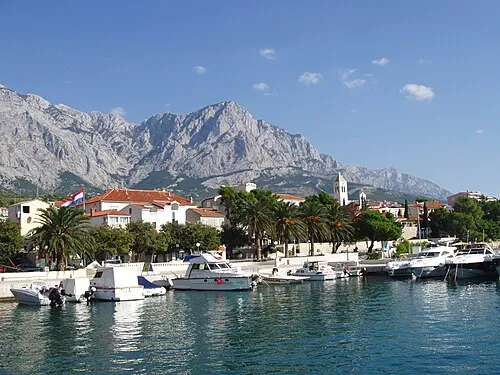 Baška Voda City, Municipality of Baška Voda10 km W
More nature in Croatia
-
 Biokovo Nature Park Natural site, Croatia4.2 km S
-
Kuke Mountain, Split-Dalmatia County35 km NW
-
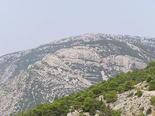 Vidova Gora Mountain, Split-Dalmatia County37 km W
-
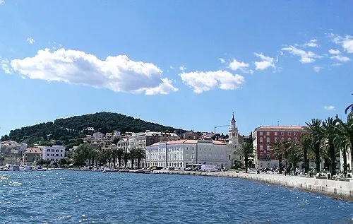 Marjan Mountain, Split-Dalmatia County56 km W
-
Zec Mountain, Dubrovnik-Neretva County79 km SE
-
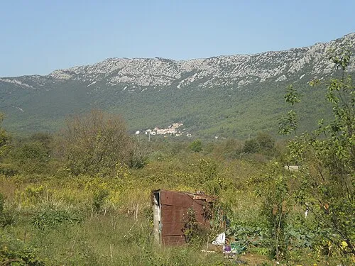 Česvinica Mountain, Dubrovnik-Neretva County76 km SE
Sources & licences
Data last updated: · 2 independent sources