- Elevation
- -3 m
- above sea level
- Local time
- UTC+01:00
- Europe/Zagreb · UTC+01:00
- Airports
- PUY Pula Airport18 km
- RJK Rijeka Airport46 km
About Raša
Raša is a river. Location: Istria County, Croatia.
The Raša (Latin: Arsia, Italian: Arsa) in Croatian Istria is a major river of Croatia's Istria County. It is 23 kilometres (14 mi) long, and its basin covers an area of 279 km2 (108 sq mi). Its mouth is in the long ria of Raša Bay (Croatian: Raški zaljev, formerly Italian: Porto d'Arsia), which is a drowned river valley scoured out when world sea levels fell, then drowned by the rising waters of the post-glacial era.
Read more on Wikipedia Text: Wikipedia contributors · CC BY-SA 4.0 · shortened
At a glance
- Length
- 23 km
Source: Wikidata
Climate of Raša
Best months for sightseeingBest months for sightseeing: May–June, September.
Bars: average monthly low and high temperature. Below: precipitation. Monthly averages for 1970–2000 at about 18 km resolution, adjusted for elevation. Highlighted months are mild and relatively dry. Source: WorldClim 2.1 (CC BY 4.0).
Show values as a table
| Month | Jan | Feb | Mar | Apr | May | Jun | Jul | Aug | Sep | Oct | Nov | Dec |
|---|---|---|---|---|---|---|---|---|---|---|---|---|
| Average high (°C) | 10° | 10° | 13° | 17° | 22° | 26° | 29° | 29° | 24° | 19° | 14° | 11° |
| Average low (°C) | 3° | 4° | 6° | 9° | 13° | 17° | 19° | 19° | 15° | 12° | 8° | 5° |
| Precipitation (mm) | 81 | 66 | 73 | 78 | 68 | 79 | 54 | 80 | 94 | 119 | 126 | 98 |
Airports nearest to Raša
- Pula Airport (PUY) Pula 18 km
- Rijeka Airport (RJK) Rijeka(Omišalj) 46 km
- Trieste Airport (TRS) Ronchi dei Legionari/Trieste 99 km
Straight-line distance; airports with scheduled flights only. Source: OurAirports (public domain).
Nearest towns and villages
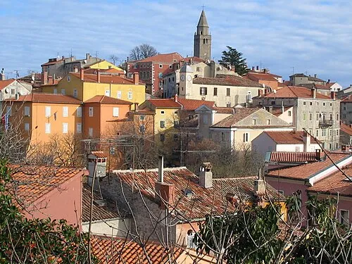
More lakes, rivers and coasts in Croatia
-
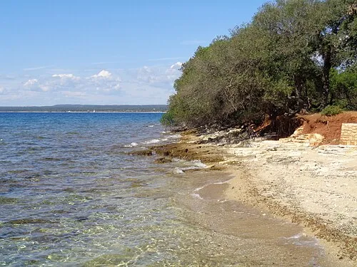 Veliki Brijun Island, City of Pula26 km SW
-
 Mali Brijun Island, City of Pula26 km SW
-
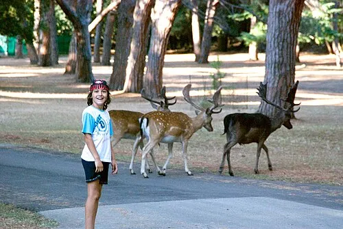 Brijuni Island, Istria County27 km SW
-
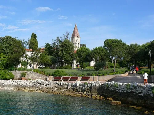 Otočić Sveti Andrija Island, Istria County33 km W
Sources & licences
Data last updated: · 2 independent sources