- Elevation
- 34 m
- above sea level
- Local time
- UTC+01:00
- Europe/Zagreb · UTC+01:00
- Airports
- ZAD Zadar Airport33 km
- RJK Rijeka Airport109 km
About Otok Vir
Otok Vir is an island. Location: Zadar County, Croatia. The best months to visit are May–June, September. The nearest airport is Zadar Airport (33 km). Nearby sights include Otočić Mišjak and Otok Sestrunj.
Climate of Otok Vir
Best months for sightseeingBest months for sightseeing: May–June, September.
Bars: average monthly low and high temperature. Below: precipitation. Monthly averages for 1970–2000 at about 18 km resolution, adjusted for elevation. Highlighted months are mild and relatively dry. Source: WorldClim 2.1 (CC BY 4.0).
Show values as a table
| Month | Jan | Feb | Mar | Apr | May | Jun | Jul | Aug | Sep | Oct | Nov | Dec |
|---|---|---|---|---|---|---|---|---|---|---|---|---|
| Average high (°C) | 10° | 11° | 14° | 17° | 22° | 26° | 29° | 29° | 25° | 20° | 14° | 11° |
| Average low (°C) | 3° | 3° | 5° | 8° | 12° | 16° | 18° | 18° | 14° | 11° | 6° | 4° |
| Precipitation (mm) | 75 | 64 | 65 | 70 | 66 | 58 | 33 | 52 | 103 | 112 | 109 | 95 |
Airports nearest to Otok Vir
- Zadar Airport (ZAD) Zadar 33 km
- Rijeka Airport (RJK) Rijeka(Omišalj) 109 km
- Pula Airport (PUY) Pula 112 km
Straight-line distance; airports with scheduled flights only. Source: OurAirports (public domain).
Nearest towns and villages

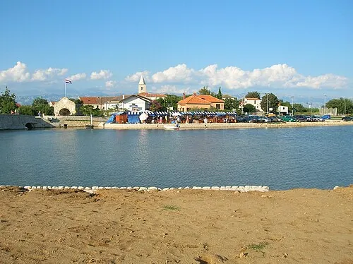
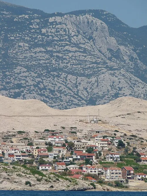
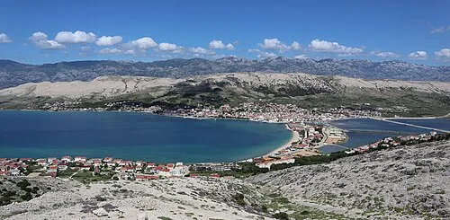
Nearby attractions & nature
Everything nearby-
Otočić Mišjak Island, Zadar County9.9 km E
-
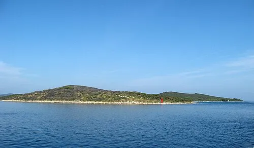 Otok Sestrunj Island, Zadar County17 km SW
-
Otok Tun Veli Island, Zadar County17 km SW
-
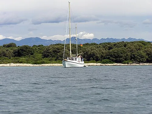 Otok Maun Island, Zadar County18 km NW
-
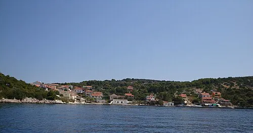 Otok Žverinac Island, Zadar County19 km SW
-
 Otok Rivanj Island, Zadar County17 km S
-
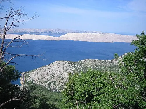 Pag Island, Zadar County21 km N
-
 Otočić Planik Island, Zadar County18 km NW
More lakes, rivers and coasts in Croatia
-
Otok Molat Island, Zadar County20 km SW
-
 Silba Island, Zadar County30 km W
-
Ugljan Island, Zadar County26 km S
-
 Otok Ist Island, Zadar County24 km W
-
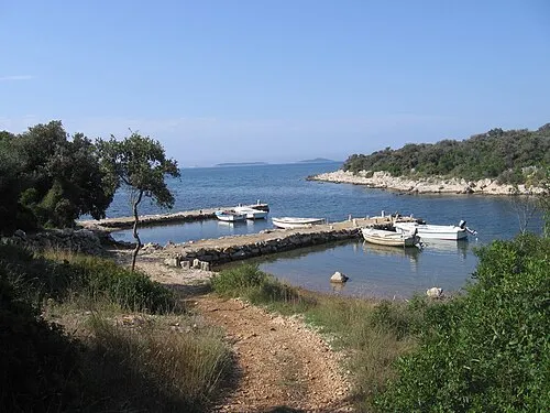 Otok Olib Island, Zadar County23 km W
-
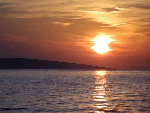 Otok Škrda Island, Zadar County25 km NW
Sources & licences
Data last updated: · 2 independent sources