Hroznětín
Located in Okres Karlovy Vary, Carlsbad Region Coordinates: 50°18′21″ N 12°52′02″ E
- Elevation
- 457 m
- above sea level
- Local time
- UTC+01:00
- Europe/Prague · UTC+01:00
- Places inside
- 3
- listed under Hroznětín
- Airports
- KLV Karlovy Vary Airport12 km
- PRG Václav Havel Airport Prague102 km
About Hroznětín
Hroznětín is a municipality. Location: Okres Karlovy Vary, Carlsbad Region. Elevation: 457 m. The best months to visit are June–August. The nearest airport is Karlovy Vary Airport (12 km). Nearby sights include Vlčinec and Plešivec.
Photos of Hroznětín
-
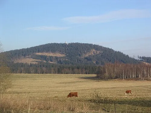
Plešivec Jan Němec · Public domain -
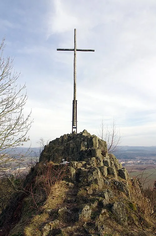
Popovský kříž Lubor Ferenc · CC BY-SA 4.0 -
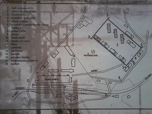
Neurohlau Concentration Camp Miroslav Starý - autor fotografie · CC0


Climate of Hroznětín
Best months for sightseeingBest months for sightseeing: June–August.
This month · November
A cold month
Day 6° · Night 0° · Rain 46 mm
- Hottest month
- July (day 22°)
- Coldest month
- February (night -4°)
- Wettest month
- July (93 mm)
- Driest month
- February (39 mm)
Bars: average monthly low and high temperature. Below: precipitation. Monthly averages for 1970–2000 at about 18 km resolution, adjusted for elevation. Highlighted months are mild and relatively dry. Source: WorldClim 2.1 (CC BY 4.0).
Show values as a table
| Month | Jan | Feb | Mar | Apr | May | Jun | Jul | Aug | Sep | Oct | Nov | Dec |
|---|---|---|---|---|---|---|---|---|---|---|---|---|
| Average high (°C) | 1° | 2° | 7° | 12° | 18° | 20° | 22° | 22° | 18° | 12° | 6° | 2° |
| Average low (°C) | -4° | -4° | -1° | 2° | 7° | 10° | 12° | 11° | 8° | 4° | 0° | -3° |
| Precipitation (mm) | 42 | 39 | 45 | 42 | 59 | 79 | 93 | 80 | 56 | 51 | 46 | 51 |
How to get to Hroznětín
The nearest airport is Karlovy Vary Airport (KLV), 12 km to the south as the crow flies. The nearest large city is Chemnitz, 59 km to the north.
Airports
- Karlovy Vary Airport (KLV) Karlovy Vary 12 kmsouth
- Václav Havel Airport Prague (PRG) Prague 102 kmeast
- Dresden Airport (DRS) Dresden 112 kmnortheast
Nearby large cities
- Chemnitz Population: 247.2K 59 kmnorth
- Gera Population: 104.7K 85 kmnorthwest
- Dresden Population: 564.9K 103 kmnortheast
- Prague Population: 1.2M 114 kmeast
- Jena Population: 104.7K 114 kmnorthwest
Straight-line distances; road distances are longer. Airport data: OurAirports.
Day trips from Hroznětín
Within 100 km: 238 historic and cultural sites, 1,975 natural sites, 453 lakes, rivers and coasts.
0–25 km130 places
- Stoličná Mountain 17 kmE
- Pláň Mountain 16 kmW
- Talsperre Weiterswiese Lake 24 kmNW
- Talsperre Cranzahl Lake 24 kmNE
25–60 km769 places
- Svatý Prokop Landmark 36 kmE
- Wüster Teich Lake 57 kmW
- Waldsee Lake 31 kmNW
- Talsperre Pöhl Lake 54 kmNW
60–100 km1,767 places
- Erzgebirge Mountain 94 kmNE
- Český Les Mountain 76 kmS
- Sprotte River 77 kmNW
- Zipfelteich Lake 84 kmNW
Straight-line distances.
Places in Hroznětín
3 placesHroznětín
Population: 2.2K

Velký Rybník
Population: 351

Ruprechtov
Population: 170
Nearby attractions & nature
Everything nearby-
Vlčinec Mountain, Merklín3.5 km NW
-
Plešivec Mountain, Abertamy5.9 km N
-
Popovský kříž Mountain, Ostrov5.4 km NE
-
Schlackenwerth Concentration Camp Historic site, Ostrov5.1 km E
-
Neurohlau Concentration Camp Historic site, Nová Role7.2 km SW
-
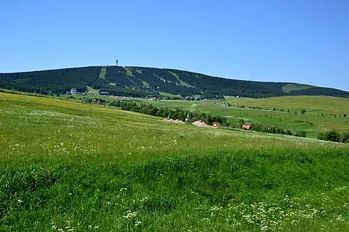 Klínovec Mountain, Jáchymov12 km NE
-
Hlaváč Mountain, Ostrov9.1 km NE
-
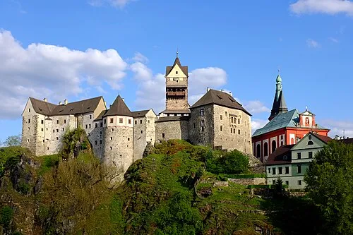 Loket Castle Historic site, Loket15 km SW
Sources & licences
Data last updated: