- Population
- 118
- 118
- Elevation
- 412 m
- above sea level
- Local time
- UTC+01:00
- Europe/Prague · UTC+01:00
- Airports
- PRG Václav Havel Airport Prague55 km
- PED Pardubice Airport60 km
About Mrchojedy
Mrchojedy is a village. Location: Samopše, Kutná Hora District. Population: 118. Elevation: 412 m.
Mrchojedy (German: Merchojed) is a village and administrative part of Samopše in Kutná Hora District in the Central Bohemian Region of the Czech Republic. It has 6 inhabitants.
Source: Wikipedia · CC BY-SA 4.0
At a glance
- Area
- 98 ha
Source: Wikidata
Population of Mrchojedy over time
| 1900 | 64 | |
|---|---|---|
| 1910 | 85 | |
| 1921 | 92 | |
| 1930 | 53 | |
| 1950 | 57 | |
| 1961 | 79 | |
| 1970 | 18 | |
| 1980 | 35 | |
| 1991 | 18 | |
| 2001 | 17 | |
| 2011 | 10 | |
| 2021 | 6 |
Censuses and official estimates; source: Wikidata.
Climate of Mrchojedy
Best months for sightseeingBest months for sightseeing: June–August.
This month · November
A cold month
Day 6° · Night 1° · Rain 32 mm
- Hottest month
- August (day 23°)
- Coldest month
- January (night -4°)
- Wettest month
- July (76 mm)
- Driest month
- February (22 mm)
Bars: average monthly low and high temperature. Below: precipitation. Monthly averages for 1970–2000 at about 18 km resolution, adjusted for elevation. Highlighted months are mild and relatively dry. Source: WorldClim 2.1 (CC BY 4.0).
Show values as a table
| Month | Jan | Feb | Mar | Apr | May | Jun | Jul | Aug | Sep | Oct | Nov | Dec |
|---|---|---|---|---|---|---|---|---|---|---|---|---|
| Average high (°C) | 1° | 3° | 7° | 13° | 18° | 21° | 23° | 23° | 18° | 12° | 6° | 2° |
| Average low (°C) | -4° | -3° | 0° | 3° | 8° | 11° | 12° | 12° | 9° | 5° | 1° | -3° |
| Precipitation (mm) | 23 | 22 | 29 | 34 | 65 | 72 | 76 | 65 | 41 | 31 | 32 | 28 |
How to get to Mrchojedy
The nearest airport is Václav Havel Airport Prague (PRG), 55 km to the northwest as the crow flies. The nearest large city is Prague, 45 km to the northwest.
Airports
- Václav Havel Airport Prague (PRG) Prague 55 kmnorthwest
- Pardubice Airport (PED) Pardubice 60 kmeast
- České Budějovice South Bohemian Airport (JCL) České Budějovice 109 kmsouth
Nearby large cities
- Prague Population: 1.2M 45 kmnorthwest
- Brno Population: 404.3K 142 kmsoutheast
- Dresden Population: 564.9K 157 kmnorthwest
- Chemnitz Population: 247.2K 179 kmnorthwest
- Linz Population: 204.8K 180 kmsouth
Straight-line distances; road distances are longer. Airport data: OurAirports.
Day trips from Mrchojedy
Within 100 km: 22 historic and cultural sites, 414 natural sites, 4 lakes, rivers and coasts.
0–25 km4 places
- Žebrák Mountain 24 kmSW
- Vlková Mountain 24 kmW
- Loreta Mountain 19 kmW
- Konopiště Historic site 23 kmSW
25–60 km56 places
- Slovanský ostrov Island 45 kmNW
- Dětský ostrov Island 45 kmNW
- Veslařský ostrov Island 43 kmNW
- Hořánck Mountain 32 kmNE
60–100 km380 places
- Královský vršek Mountain 69 kmSE
- Lysá Mountain 76 kmN
- Hořidla Mountain 89 kmNW
- Steinbühel Mountain 99 kmS
Straight-line distances.
Nearby attractions & nature
Everything nearby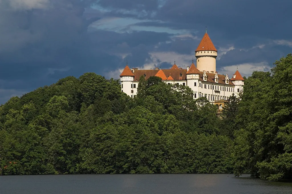
Sources & licences
Data last updated: · 2 independent sources