Rokytá
Located in Mladá Boleslav District, Central Bohemia Coordinates: 50°33′40″ N 14°52′51″ E
- Elevation
- 318 m
- above sea level
- Local time
- UTC+01:00
- Europe/Prague · UTC+01:00
- Airports
- PRG Václav Havel Airport Prague68 km
- PED Pardubice Airport86 km
About Rokytá
Rokytá is a municipality. Location: Mladá Boleslav District, Central Bohemia. Elevation: 318 m. The best months to visit are June–August. The nearest airport is Václav Havel Airport Prague (68 km). Nearby sights include Lysá and Káčov [Mnichovo Hradiště-Sychrov].
Climate of Rokytá
Best months for sightseeingBest months for sightseeing: June–August.
This month · November
A cold month
Day 6° · Night 1° · Rain 39 mm
- Hottest month
- August (day 23°)
- Coldest month
- January (night -4°)
- Wettest month
- July (89 mm)
- Driest month
- February (28 mm)
Bars: average monthly low and high temperature. Below: precipitation. Monthly averages for 1970–2000 at about 18 km resolution, adjusted for elevation. Highlighted months are mild and relatively dry. Source: WorldClim 2.1 (CC BY 4.0).
Show values as a table
| Month | Jan | Feb | Mar | Apr | May | Jun | Jul | Aug | Sep | Oct | Nov | Dec |
|---|---|---|---|---|---|---|---|---|---|---|---|---|
| Average high (°C) | 1° | 3° | 7° | 12° | 18° | 21° | 22° | 23° | 18° | 12° | 6° | 3° |
| Average low (°C) | -4° | -3° | 0° | 3° | 8° | 11° | 12° | 12° | 9° | 5° | 1° | -2° |
| Precipitation (mm) | 31 | 28 | 35 | 35 | 74 | 73 | 89 | 81 | 47 | 41 | 39 | 36 |
How to get to Rokytá
The nearest airport is Václav Havel Airport Prague (PRG), 68 km to the southwest as the crow flies. The nearest large city is Prague, 62 km to the southwest.
Airports
- Václav Havel Airport Prague (PRG) Prague 68 kmsouthwest
- Pardubice Airport (PED) Pardubice 86 kmsoutheast
- Dresden Airport (DRS) Dresden 101 kmnorthwest
Nearby large cities
- Prague Population: 1.2M 62 kmsouthwest
- Dresden Population: 564.9K 97 kmnorthwest
- Chemnitz Population: 247.2K 141 kmwest
- Brno Population: 404.3K 196 kmsoutheast
- Leipzig Population: 505K 196 kmnorthwest
Straight-line distances; road distances are longer. Airport data: OurAirports.
Nearby attractions & nature
Everything nearby-
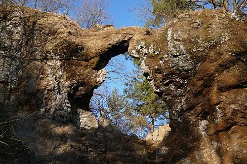 Lysá Mountain, Liberec Region6 km W
-
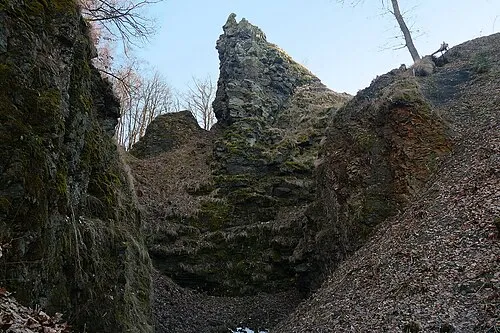 Káčov [Mnichovo Hradiště-Sychrov] Mountain, Mnichovo Hradiště7.5 km E
-
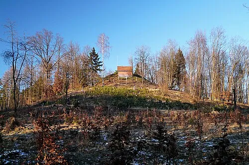 Šibeniční vrch [Bělá pod Bezdězem] Mountain, Bělá pod Bezdězem7.9 km SW
-
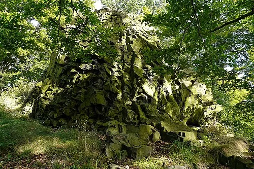 Pecopala Mountain, Doksy13 km W
-
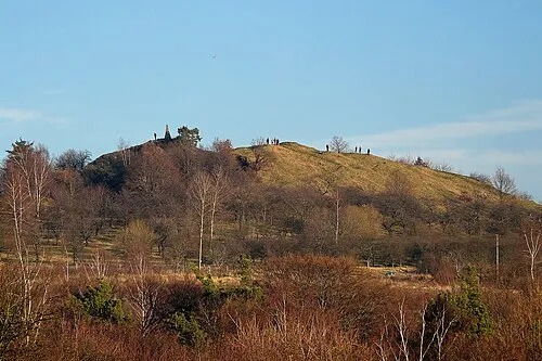 Mužský Mountain, Boseň12 km E
-
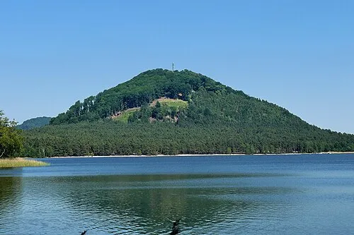 Borný Mountain, Doksy16 km W
-
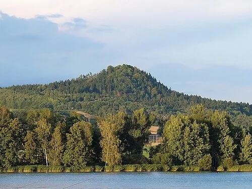 Špičák Mountain, Hamr na Jezeře18 km N
-
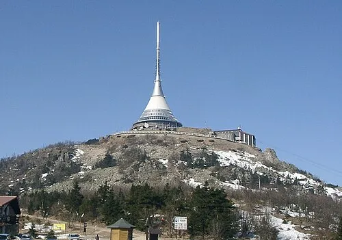 Ještěd Mountain, Světlá pod Ještědem20 km N
Sources & licences
Data last updated: