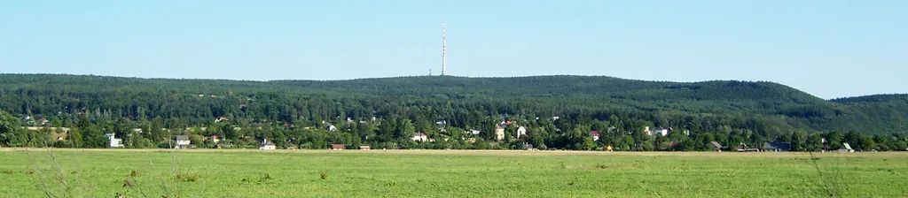
- Elevation
- 411 m
- above sea level
- Local time
- UTC+01:00
- Europe/Prague · UTC+01:00
- Airports
- PRG Václav Havel Airport Prague20 km
- PED Pardubice Airport100 km
About Cukrák
Cukrák is a mountain. Location: Jíloviště, Okres Praha-západ. Elevation: 411 m. The best months to visit are June–August. The nearest airport is Václav Havel Airport Prague (20 km). Nearby sights include Oppidum Závist and Ďábel.
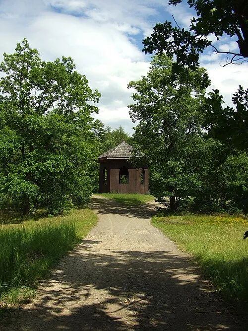
Photos of Cukrák
-

cs:User:ŠJů · CC BY-SA 3.0 -

cs:User:ŠJů · CC BY-SA 3.0 -
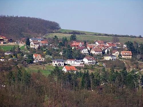
Ďábel cs:ŠJů · CC BY-SA 3.0 -
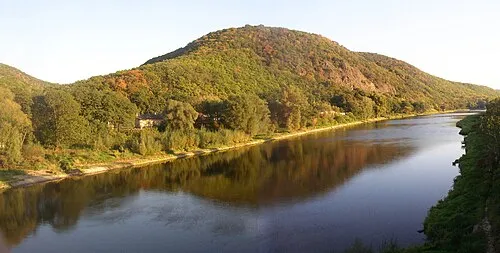
Oppidum Závist User:Miaow Miaow · Public domain -

Most Závodu míru SimcaCZE · CC BY-SA 3.0


Climate of Cukrák
Best months for sightseeingBest months for sightseeing: June–August.
This month · November
A cold month
Day 6° · Night 0° · Rain 31 mm
- Hottest month
- August (day 23°)
- Coldest month
- January (night -4°)
- Wettest month
- July (72 mm)
- Driest month
- February (21 mm)
Bars: average monthly low and high temperature. Below: precipitation. Monthly averages for 1970–2000 at about 18 km resolution, adjusted for elevation. Highlighted months are mild and relatively dry. Source: WorldClim 2.1 (CC BY 4.0).
Show values as a table
| Month | Jan | Feb | Mar | Apr | May | Jun | Jul | Aug | Sep | Oct | Nov | Dec |
|---|---|---|---|---|---|---|---|---|---|---|---|---|
| Average high (°C) | 1° | 3° | 8° | 13° | 18° | 21° | 23° | 23° | 18° | 12° | 6° | 2° |
| Average low (°C) | -4° | -4° | 0° | 3° | 7° | 10° | 12° | 12° | 8° | 4° | 0° | -3° |
| Precipitation (mm) | 23 | 21 | 30 | 30 | 67 | 70 | 72 | 63 | 40 | 30 | 31 | 27 |
How to get to Cukrák
The nearest airport is Václav Havel Airport Prague (PRG), 20 km to the north as the crow flies. The nearest large city is Prague, 17 km to the north.
Airports
- Václav Havel Airport Prague (PRG) Prague 20 kmnorth
- Pardubice Airport (PED) Pardubice 100 kmeast
- Karlovy Vary Airport (KLV) Karlovy Vary 107 kmwest
Nearby large cities
- Prague Population: 1.2M 17 kmnorth
- Dresden Population: 564.9K 131 kmnorth
- Chemnitz Population: 247.2K 142 kmnorthwest
- Linz Population: 204.8K 181 kmsouth
- Brno Population: 404.3K 183 kmsoutheast
Straight-line distances; road distances are longer. Airport data: OurAirports.
Day trips from Cukrák
Within 100 km: 27 historic and cultural sites, 282 natural sites, 4 lakes, rivers and coasts.
0–25 km29 places
- Slovanský ostrov Island 16 kmN
- Dětský ostrov Island 16 kmN
- Veslařský ostrov Island 14 kmN
- Výška Mountain 11 kmW
25–60 km58 places
- Hořice Mountain 59 kmN
- Holý vrch Mountain 38 kmW
- Žebrák Mountain 35 kmSE
- Vraní skála Mountain 30 kmW
60–100 km226 places
- Lysá Mountain 74 kmNE
- Hořidla Mountain 67 kmN
- Svatý Prokop Landmark 78 kmNW
- Zaunhübel Mountain 99 kmNW
Straight-line distances.
Nearest towns and villages
-
Jíloviště Village, Jíloviště1.4 km SW
-
Vrané nad Vltavou Village, Vrané nad Vltavou1.5 km E
-
 Skochovice Village, Vrané nad Vltavou1.7 km SE
-
Černošice Town, Černošice3.7 km NW
-
Trnová Village, Trnová2.3 km S
-
Všenory Village, Všenory3.8 km W
Nearby attractions & nature
Everything nearby-
Oppidum Závist Mountain, Dolní Břežany4.8 km NE
-
Ďábel Mountain, Petrov7.5 km SE
-
V Lipi Mountain, Libeř9.4 km E
-
Most Závodu míru Landmark, Praha-Zbraslav5 km NE
-
Pleš Mountain, Nová Ves pod Pleší12 km SW
-
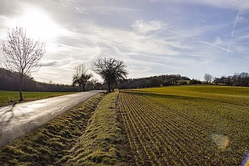 Výška Mountain, Mořina11 km W
-
 Králův Stolec Mountain, Mokrovraty18 km SW
-
Točna Mountain, Kytín16 km SW
Sources & licences
Data last updated: · 2 independent sources