Kolešov
Located in Rakovník District, Central Bohemia Coordinates: 50°09′20″ N 13°30′20″ E
- Elevation
- 398 m
- above sea level
- Local time
- UTC+01:00
- Europe/Prague · UTC+01:00
- Places inside
- 1
- listed under Kolešov
- Airports
- KLV Karlovy Vary Airport43 km
- PRG Václav Havel Airport Prague54 km
About Kolešov
Kolešov is a municipality. Location: Rakovník District, Central Bohemia. Elevation: 398 m. The best months to visit are June–August. The nearest airport is Karlovy Vary Airport (43 km). Nearby sights include Hokovský vrch and Přívraty.
Climate of Kolešov
Best months for sightseeingBest months for sightseeing: June–August.
This month · November
A cold month
Day 6° · Night 0° · Rain 43 mm
- Hottest month
- July (day 23°)
- Coldest month
- January (night -4°)
- Wettest month
- July (90 mm)
- Driest month
- February (37 mm)
Bars: average monthly low and high temperature. Below: precipitation. Monthly averages for 1970–2000 at about 18 km resolution, adjusted for elevation. Highlighted months are mild and relatively dry. Source: WorldClim 2.1 (CC BY 4.0).
Show values as a table
| Month | Jan | Feb | Mar | Apr | May | Jun | Jul | Aug | Sep | Oct | Nov | Dec |
|---|---|---|---|---|---|---|---|---|---|---|---|---|
| Average high (°C) | 1° | 3° | 7° | 13° | 18° | 21° | 23° | 23° | 19° | 12° | 6° | 2° |
| Average low (°C) | -4° | -4° | -1° | 3° | 7° | 10° | 12° | 12° | 8° | 4° | 0° | -3° |
| Precipitation (mm) | 41 | 37 | 47 | 39 | 66 | 81 | 90 | 74 | 51 | 47 | 43 | 47 |
How to get to Kolešov
The nearest airport is Karlovy Vary Airport (KLV), 43 km to the west as the crow flies. The nearest large city is Prague, 66 km to the east.
Airports
- Karlovy Vary Airport (KLV) Karlovy Vary 43 kmwest
- Václav Havel Airport Prague (PRG) Prague 54 kmeast
- Dresden Airport (DRS) Dresden 110 kmnorth
Nearby large cities
- Prague Population: 1.2M 66 kmeast
- Chemnitz Population: 247.2K 86 kmnorthwest
- Dresden Population: 564.9K 101 kmnorth
- Gera Population: 104.7K 129 kmnorthwest
- Leipzig Population: 505K 154 kmnorthwest
Straight-line distances; road distances are longer. Airport data: OurAirports.
Day trips from Kolešov
Within 100 km: 167 historic and cultural sites, 1,289 natural sites, 220 lakes, rivers and coasts.
0–25 km8 places
- Svatý Prokop Landmark 12 kmNW
- Přívraty Mountain 10 kmS
- Kuk Mountain 16 kmNE
- Džbán Mountain 18 kmE
25–60 km261 places
- Stoličná Mountain 36 kmNW
- Talsperre Cranzahl Lake 53 kmNW
- Zaunhübel Mountain 51 kmN
- Wildsberg Mountain 55 kmN
60–100 km1,407 places
- Erzgebirge Mountain 85 kmN
- Pirna-Sonnenstein Mountain 94 kmN
- Hořidla Mountain 69 kmNE
- Pláň Mountain 65 kmW
Straight-line distances.
Places in Kolešov
1 placeBar: population relative to the most populous place in this list.
Nearby attractions & nature
Everything nearby-
Hokovský vrch Mountain, Velká Chmelištná9.9 km S
-
Přívraty Mountain, Žďár10 km S
-
V Jedlinách Mountain, Václavy12 km SE
-
Dubový vrch Mountain, Vroutek11 km NW
-
Krakov Mountain, Petrovice16 km SE
-
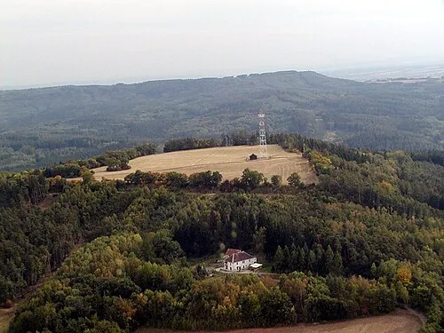 Kuk Mountain, Tuchořice16 km NE
-
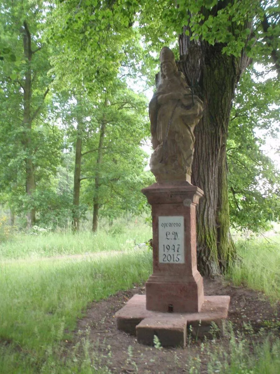 Svatý Prokop Landmark, Vroutek12 km NW
-
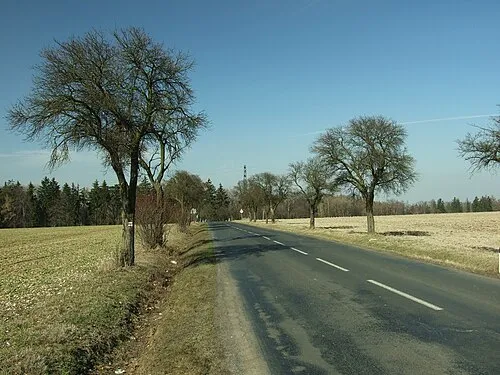 Džbán Mountain, Třeboc18 km E
Sources & licences
Data last updated: