Úhlejov
Located in Jičín District, Hradec Králové Region Coordinates: 50°26′10″ N 15°40′44″ E
- Elevation
- 465 m
- above sea level
- Local time
- UTC+01:00
- Europe/Prague · UTC+01:00
- Places inside
- 2
- listed under Úhlejov
- Airports
- PED Pardubice Airport47 km
- PRG Václav Havel Airport Prague108 km
About Úhlejov
Úhlejov is a municipality. Location: Jičín District, Hradec Králové Region. Elevation: 465 m. The best months to visit are June–August. The nearest airport is Pardubice Airport (47 km). Nearby sights include Černá hora and Kumburk.
Climate of Úhlejov
Best months for sightseeingBest months for sightseeing: June–August.
This month · November
A cold month
Day 5° · Night 0° · Rain 35 mm
- Hottest month
- August (day 22°)
- Coldest month
- January (night -6°)
- Wettest month
- July (81 mm)
- Driest month
- February (23 mm)
Bars: average monthly low and high temperature. Below: precipitation. Monthly averages for 1970–2000 at about 18 km resolution, adjusted for elevation. Highlighted months are mild and relatively dry. Source: WorldClim 2.1 (CC BY 4.0).
Show values as a table
| Month | Jan | Feb | Mar | Apr | May | Jun | Jul | Aug | Sep | Oct | Nov | Dec |
|---|---|---|---|---|---|---|---|---|---|---|---|---|
| Average high (°C) | -1° | 1° | 6° | 12° | 17° | 20° | 21° | 22° | 17° | 12° | 5° | 1° |
| Average low (°C) | -6° | -5° | -1° | 2° | 6° | 10° | 11° | 11° | 8° | 4° | 0° | -4° |
| Precipitation (mm) | 25 | 23 | 28 | 37 | 61 | 76 | 81 | 68 | 43 | 36 | 35 | 32 |
How to get to Úhlejov
The nearest airport is Pardubice Airport (PED), 47 km to the south as the crow flies. The nearest large city is Prague, 98 km to the southwest.
Airports
- Pardubice Airport (PED) Pardubice 47 kmsouth
- Václav Havel Airport Prague (PRG) Prague 108 kmwest
- Copernicus Wrocław Airport (WRO) Wrocław 113 kmnortheast
Nearby large cities
- Prague Population: 1.2M 98 kmsouthwest
- Dresden Population: 564.9K 153 kmnorthwest
- Brno Population: 404.3K 153 kmsoutheast
- Chemnitz Population: 247.2K 200 kmwest
- Leipzig Population: 505K 253 kmnorthwest
Straight-line distances; road distances are longer. Airport data: OurAirports.
Day trips from Úhlejov
Within 100 km: 78 historic and cultural sites, 654 natural sites, 14 lakes, rivers and coasts.
0–25 km9 places
- Tábor Mountain 24 kmW
- Kumburk Mountain 18 kmW
- Černá hora Mountain 24 kmN
- Staropacká hora Mountain 15 kmNW
25–60 km264 places
- Tvarožník Mountain 40 kmN
- Jastrzębiec Mountain 50 kmN
- Bielec Mountain 47 kmN
- Parkowa Mountain 43 kmN
60–100 km473 places
- Lysá Mountain 63 kmW
- Sucha Kopa Mountain 91 kmE
- Goworek Mountain 85 kmE
- Zigeunerberg Mountain 79 kmNW
Straight-line distances.
Places in Úhlejov
2 places
Nearby attractions & nature
Everything nearby-
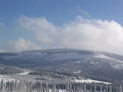 Černá hora Mountain, Janské Lázně24 km N
-
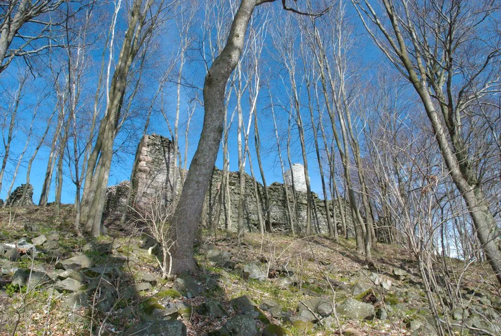 Kumburk Mountain, Hradec Králové Region18 km W
-
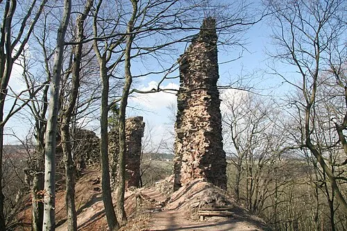 Bradlec Mountain, Syřenov20 km W
-
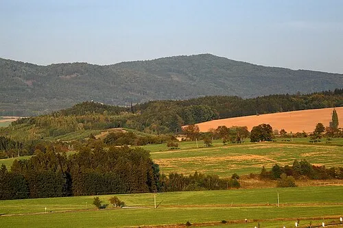 Tábor Mountain, Lomnice nad Popelkou24 km W
-
Staropacká hora Mountain, Stará Paka15 km NW
-
Bausnitz Concentration Camp Historic site, Trutnov25 km NE
-
Obere Altstadt Concentration Camp Historic site, Trutnov22 km NE
-
Ober Hohenelbe Concentration Camp Historic site, Vrchlabí23 km N
Sources & licences
Data last updated: