
- Population
- 256
- 256
- Elevation
- 293 m
- above sea level
- Local time
- UTC+01:00
- Europe/Prague · UTC+01:00
- Airports
- PED Pardubice Airport46 km
- WRO Copernicus Wrocław Airport100 km
About Lhota
Lhota is a village. Location: Nahořany, Náchod District. Population: 256. Elevation: 293 m. The best months to visit are June–August. The nearest airport is Pardubice Airport (46 km). Nearby sights include Ostaš and Orlica.
At a glance
- Area
- 2.4 km²
Source: Wikidata
Photos of Lhota
-

Petr1888 · CC BY-SA 4.0 -

Petr1888 · CC BY-SA 4.0 -

Petr1888 · CC BY-SA 4.0


Population of Lhota over time
| 1900 | 241 | |
|---|---|---|
| 1910 | 205 | |
| 1921 | 214 | |
| 1930 | 195 | |
| 1950 | 123 | |
| 1961 | 125 | |
| 1970 | 108 | |
| 1980 | 91 | |
| 1991 | 77 | |
| 2001 | 73 | |
| 2011 | 72 | |
| 2021 | 79 |
Censuses and official estimates; source: Wikidata.
Climate of Lhota
Best months for sightseeingBest months for sightseeing: June–August.
This month · November
A cold month
Day 6° · Night 1° · Rain 35 mm
- Hottest month
- August (day 23°)
- Coldest month
- January (night -5°)
- Wettest month
- July (84 mm)
- Driest month
- February (23 mm)
Bars: average monthly low and high temperature. Below: precipitation. Monthly averages for 1970–2000 at about 18 km resolution, adjusted for elevation. Highlighted months are mild and relatively dry. Source: WorldClim 2.1 (CC BY 4.0).
Show values as a table
| Month | Jan | Feb | Mar | Apr | May | Jun | Jul | Aug | Sep | Oct | Nov | Dec |
|---|---|---|---|---|---|---|---|---|---|---|---|---|
| Average high (°C) | 0° | 2° | 7° | 13° | 18° | 21° | 23° | 23° | 18° | 13° | 6° | 2° |
| Average low (°C) | -5° | -4° | -1° | 3° | 7° | 11° | 12° | 11° | 9° | 5° | 1° | -3° |
| Precipitation (mm) | 24 | 23 | 29 | 36 | 60 | 80 | 84 | 69 | 44 | 36 | 35 | 31 |
How to get to Lhota
The nearest airport is Pardubice Airport (PED), 46 km to the southwest as the crow flies. The nearest large city is Prague, 123 km to the west.
Airports
- Pardubice Airport (PED) Pardubice 46 kmsouthwest
- Copernicus Wrocław Airport (WRO) Wrocław 100 kmnortheast
- Václav Havel Airport Prague (PRG) Prague 133 kmwest
Nearby large cities
- Prague Population: 1.2M 123 kmwest
- Brno Population: 404.3K 135 kmsouth
- Dresden Population: 564.9K 183 kmnorthwest
- Chemnitz Population: 247.2K 230 kmwest
- Bratislava Population: 423.7K 257 kmsouth
Straight-line distances; road distances are longer. Airport data: OurAirports.
Day trips from Lhota
Within 100 km: 54 historic and cultural sites, 576 natural sites.
0–25 km23 places
- Ptak Mountain 22 kmNE
- Orlica Mountain 20 kmE
- Grodziec Mountain 19 kmE
- Gomoła Mountain 19 kmE
25–60 km346 places
- Bielec Mountain 53 kmN
- Goworek Mountain 55 kmE
- Parkowa Mountain 53 kmN
- Kłobuk Mountain 28 kmE
60–100 km261 places
- Lysá Mountain 93 kmW
- Tvarožník Mountain 62 kmNW
- Sucha Kopa Mountain 62 kmE
- Jastrzębiec Mountain 70 kmNW
Straight-line distances.
Nearby attractions & nature
Everything nearby-
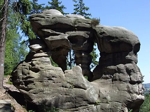 Ostaš Mountain, Žďár nad Metují24 km N
-
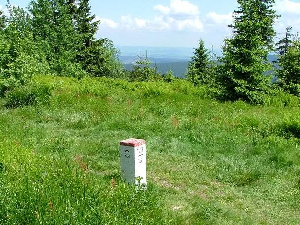 Orlica Mountain, Duszniki-Zdrój20 km E
-
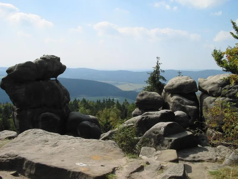 Čáp Mountain, Teplice nad Metují24 km N
-
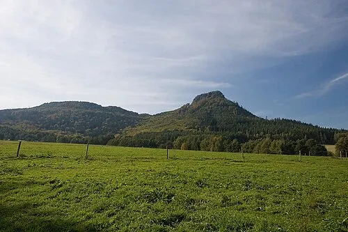 Koruna Mountain, Božanov25 km NE
-
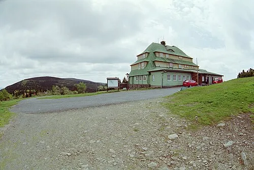 Malá Deštná Mountain, Deštné v Orlických horách23 km E
-
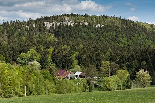 Kopa Śmierci Mountain, Gmina Szczytna22 km NE
Sources & licences
Data last updated: · 2 independent sources