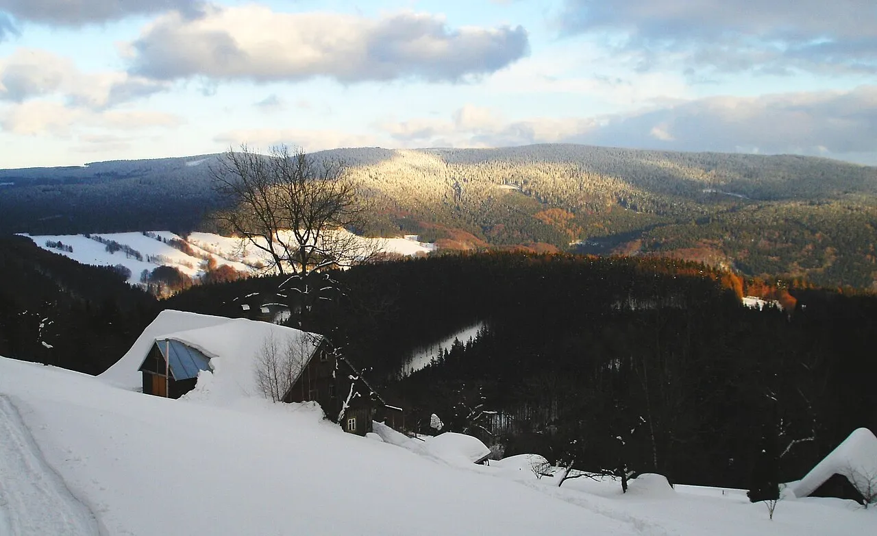
- Elevation
- 1,033 m
- above sea level
- Local time
- UTC+01:00
- Europe/Prague · UTC+01:00
- Airports
- PED Pardubice Airport71 km
- WRO Copernicus Wrocław Airport88 km
About Dvorský les
Dvorský les is a mountain. Location: Žacléř, Trutnov District. Elevation: 1,033 m.
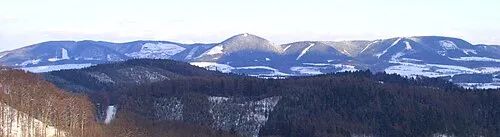
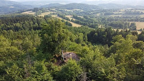
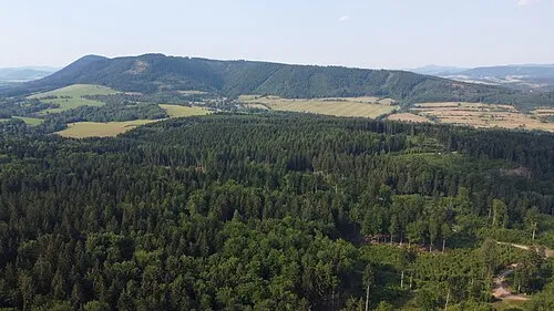
Dvorský les (German: Hoflbusch) is a mountain in the Czech Republic. It is the highest peak of Rýchory ridge in the Giant Mountains.
Source: Wikipedia · CC BY-SA 4.0
At a glance
- Topographic prominence
- 181 m
Source: Wikidata
Photos of Dvorský les
-

Topi Pigula · CC BY-SA 4.0 -

Topi Pigula · CC BY-SA 4.0 -

Starohorka · CC BY-SA 4.0 -

Starohorka · CC BY-SA 4.0 -
Rýchory Ralf_Hartau · CC BY-SA 3.0


Climate of Dvorský les
Best months for sightseeingBest months for sightseeing: June–August.
This month · November
A cold month
Day 1° · Night -4° · Rain 39 mm
- Hottest month
- July (day 17°)
- Coldest month
- January (night -10°)
- Wettest month
- July (86 mm)
- Driest month
- February (27 mm)
Bars: average monthly low and high temperature. Below: precipitation. Monthly averages for 1970–2000 at about 18 km resolution, adjusted for elevation. Highlighted months are mild and relatively dry. Source: WorldClim 2.1 (CC BY 4.0).
Show values as a table
| Month | Jan | Feb | Mar | Apr | May | Jun | Jul | Aug | Sep | Oct | Nov | Dec |
|---|---|---|---|---|---|---|---|---|---|---|---|---|
| Average high (°C) | -5° | -3° | 2° | 8° | 13° | 16° | 17° | 17° | 13° | 8° | 1° | -3° |
| Average low (°C) | -10° | -9° | -5° | -2° | 3° | 6° | 7° | 7° | 4° | 0° | -4° | -8° |
| Precipitation (mm) | 29 | 27 | 33 | 41 | 63 | 82 | 86 | 75 | 48 | 40 | 39 | 37 |
How to get to Dvorský les
The nearest airport is Pardubice Airport (PED), 71 km to the south as the crow flies. The nearest large city is Prague, 120 km to the southwest.
Airports
- Pardubice Airport (PED) Pardubice 71 kmsouth
- Copernicus Wrocław Airport (WRO) Wrocław 88 kmnortheast
- Václav Havel Airport Prague (PRG) Prague 129 kmsouthwest
Nearby large cities
- Prague Population: 1.2M 120 kmsouthwest
- Dresden Population: 564.9K 156 kmwest
- Brno Population: 404.3K 170 kmsouth
- Chemnitz Population: 247.2K 208 kmwest
- Leipzig Population: 505K 257 kmwest
Straight-line distances; road distances are longer. Airport data: OurAirports.
Day trips from Dvorský les
Within 100 km: 83 historic and cultural sites, 639 natural sites, 12 lakes, rivers and coasts.
0–25 km116 places
- Bielec Mountain 20 kmN
- Parkowa Mountain 18 kmN
- Czuba Mountain 21 kmNE
- Ptačí Kámen Mountain 21 kmNW
25–60 km213 places
- Tvarožník Mountain 29 kmNW
- Jastrzębiec Mountain 36 kmNW
- Ptak Mountain 40 kmSE
- Kłobuk Mountain 56 kmSE
60–100 km405 places
- Lysá Mountain 76 kmW
- Sucha Kopa Mountain 88 kmSE
- Goworek Mountain 85 kmSE
- Zigeunerberg Mountain 80 kmW
Straight-line distances.
Nearest towns and villages
-
 Rýchory Village, Žacléř1.6 km NE
-
Žacléř Village, Žacléř3.7 km NE
-
 Prkenný Důl Village, Žacléř3.8 km E
-
 Dolní Lysečiny Village, Horní Maršov3.8 km NW
-
 Bystřice Village, Mladé Buky3.5 km S
-
 Babí Village, Trutnov4.4 km SE
Nearby attractions & nature
Everything nearby-
Rýchory Mountain, Hradec Králové Region<0.1 km N
-
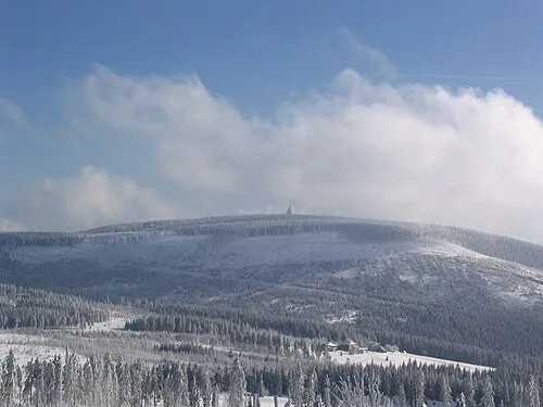 Černá hora Mountain, Janské Lázně8.6 km W
-
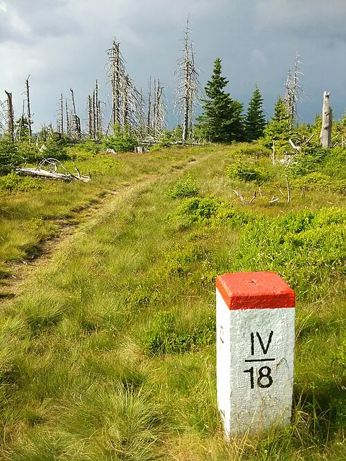 Łysocina Mountain, Gmina Lubawka8.8 km N
-
Średniak Mountain, Gmina Lubawka7.7 km N
-
 Královecký Špičák Mountain, Královec8.9 km E
-
Schatzlar Concentration Camp Historic site, Žacléř3.7 km NE
-
 Jański Wierch Mountain, Gmina Lubawka9.8 km SE
-
 Końska Mountain, Gmina Lubawka10 km E
Sources & licences
Data last updated: · 2 independent sources