Královka
Located in Janov nad Nisou, Jablonec nad Nisou District Coordinates: 50°47′34″ N 15°09′26″ E
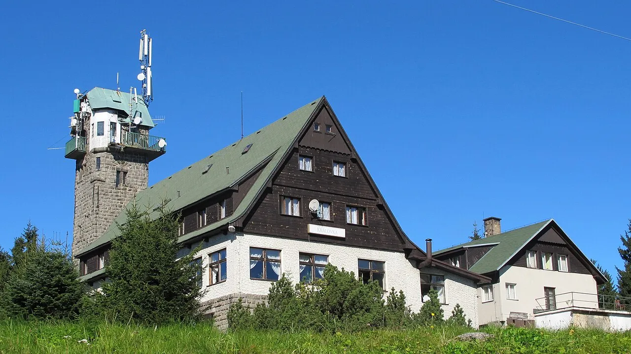
- Elevation
- 859 m
- above sea level
- Local time
- UTC+01:00
- Europe/Prague · UTC+01:00
- Airports
- PED Pardubice Airport96 km
- PRG Václav Havel Airport Prague100 km
About Královka
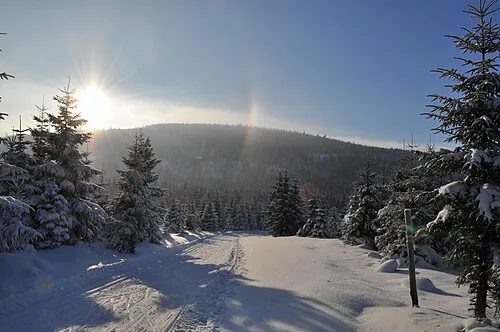
Královka is a mountain. Location: Janov nad Nisou, Jablonec nad Nisou District. Elevation: 859 m. The best months to visit are June–August. The nearest airport is Pardubice Airport (96 km). Nearby sights include Černá hora and Brdo.
Photos of Královka
-
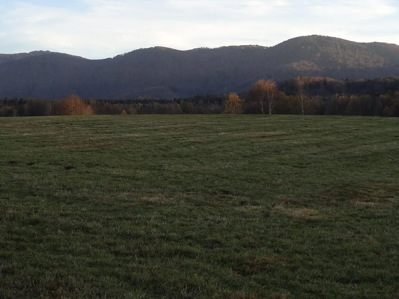
Poledník MartinVeselka · CC BY-SA 4.0 -
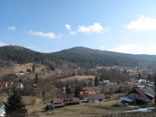
Mariánská hora Juandev · CC BY-SA 3.0 -
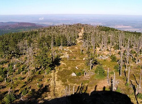
Holubník Maoman · CC BY-SA 3.0 -
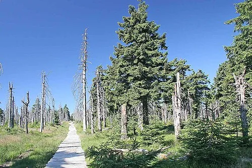
Černá hora Prazak · CC BY 2.5 -
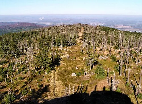
Ptači vrchy Maoman · CC BY-SA 3.0


Climate of Královka
Best months for sightseeingBest months for sightseeing: June–August.
This month · November
A cold month
Day 2° · Night -2° · Rain 42 mm
- Hottest month
- August (day 19°)
- Coldest month
- January (night -7°)
- Wettest month
- July (86 mm)
- Driest month
- February (31 mm)
Bars: average monthly low and high temperature. Below: precipitation. Monthly averages for 1970–2000 at about 18 km resolution, adjusted for elevation. Highlighted months are mild and relatively dry. Source: WorldClim 2.1 (CC BY 4.0).
Show values as a table
| Month | Jan | Feb | Mar | Apr | May | Jun | Jul | Aug | Sep | Oct | Nov | Dec |
|---|---|---|---|---|---|---|---|---|---|---|---|---|
| Average high (°C) | -2° | -1° | 4° | 9° | 15° | 17° | 19° | 19° | 14° | 9° | 2° | -1° |
| Average low (°C) | -7° | -7° | -4° | -1° | 4° | 7° | 9° | 8° | 5° | 2° | -2° | -6° |
| Precipitation (mm) | 35 | 31 | 38 | 43 | 71 | 76 | 86 | 81 | 50 | 43 | 42 | 42 |
How to get to Královka
The nearest airport is Pardubice Airport (PED), 96 km to the southeast as the crow flies. The nearest large city is Prague, 94 km to the southwest.
Airports
- Pardubice Airport (PED) Pardubice 96 kmsoutheast
- Václav Havel Airport Prague (PRG) Prague 100 kmsouthwest
- Dresden Airport (DRS) Dresden 105 kmwest
Nearby large cities
- Prague Population: 1.2M 94 kmsouthwest
- Dresden Population: 564.9K 104 kmwest
- Chemnitz Population: 247.2K 157 kmwest
- Leipzig Population: 505K 205 kmwest
- Brno Population: 404.3K 206 kmsoutheast
Straight-line distances; road distances are longer. Airport data: OurAirports.
Day trips from Královka
Within 100 km: 148 historic and cultural sites, 951 natural sites, 97 lakes, rivers and coasts.
0–25 km53 places
- Wysoka Kopa Mountain 20 kmE
- Stóg Izerski Mountain 15 kmNE
- Przedział - 1063 m npm Karkonosze Mountain 23 kmE
- Wysoki Kamień Mountain 24 kmE
25–60 km398 places
- Lysá Mountain 38 kmSW
- Tvarožník Mountain 25 kmE
- Vosí vrch Mountain 54 kmW
- Jastrzębiec Mountain 26 kmE
60–100 km745 places
- Erzgebirge Mountain 95 kmW
- Pirna-Sonnenstein Mountain 87 kmW
- Hořidla Mountain 69 kmSW
- Buschteich Lake 85 kmNW
Straight-line distances.
Nearest towns and villages
-
 Hraničná Village, Janov nad Nisou3.1 km S
-
Bedřichov Village, Bedřichov1.1 km W
-
Janov nad Nisou Village, Janov nad Nisou2.5 km S
-
 Nový Harcov Village, Liberec4.7 km SW
-
 Jindřichov Village, Lučany nad Nisou5.3 km SE
-
 Vratislavice nad Nisou Village, Liberec7 km SW
Nearby attractions & nature
Everything nearby-
Černá hora Mountain, Bedřichov5.3 km NE
-
Brdo Mountain, Mníšek4.4 km NW
-
Holubník Mountain, Hejnice5.6 km N
-
Ptači vrchy Mountain, Hejnice6.2 km N
-
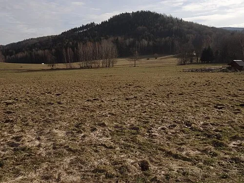 Ostrý Mountain, Mníšek7 km NW
-
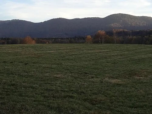 Poledník Mountain, Oldřichov v Hájích7.1 km N
-
 Jizera Mountain, Hejnice8.6 km NE
-
Mariánská hora Mountain, Albrechtice v Jizerských horách7.7 km E
Sources & licences
Data last updated: · 2 independent sources