Stará Červená Voda
Located in Jeseník District, Olomouc Region Coordinates: 50°18′53″ N 17°11′46″ E
- Elevation
- 323 m
- above sea level
- Local time
- UTC+01:00
- Europe/Prague · UTC+01:00
- Places inside
- 2
- listed under Stará Červená Voda
- Airports
- WRO Copernicus Wrocław Airport91 km
- OSR Leoš Janáček Airport Ostrava95 km
About Stará Červená Voda
Stará Červená Voda is a municipality. Location: Jeseník District, Olomouc Region. Elevation: 323 m. The best months to visit are June–August. The nearest airport is Copernicus Wrocław Airport (91 km). Nearby sights include Nízká hora and Średnia Kopa.
Photos of Stará Červená Voda
-
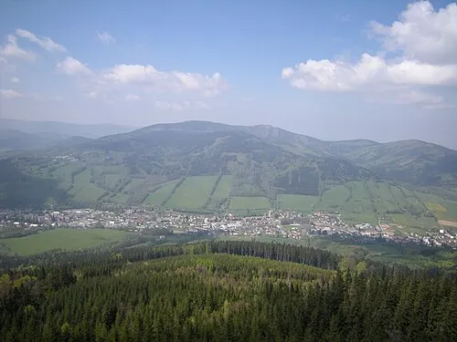
Sokolí vrch Stok · Public domain

Climate of Stará Červená Voda
Best months for sightseeingBest months for sightseeing: June–August.
This month · November
A cold month
Day 6° · Night 1° · Rain 42 mm
- Hottest month
- July (day 22°)
- Coldest month
- January (night -3°)
- Wettest month
- June (99 mm)
- Driest month
- February (31 mm)
Bars: average monthly low and high temperature. Below: precipitation. Monthly averages for 1970–2000 at about 18 km resolution, adjusted for elevation. Highlighted months are mild and relatively dry. Source: WorldClim 2.1 (CC BY 4.0).
Show values as a table
| Month | Jan | Feb | Mar | Apr | May | Jun | Jul | Aug | Sep | Oct | Nov | Dec |
|---|---|---|---|---|---|---|---|---|---|---|---|---|
| Average high (°C) | 2° | 3° | 7° | 12° | 17° | 20° | 22° | 22° | 17° | 12° | 6° | 3° |
| Average low (°C) | -3° | -3° | 0° | 3° | 8° | 11° | 12° | 12° | 9° | 5° | 1° | -2° |
| Precipitation (mm) | 33 | 31 | 33 | 44 | 72 | 99 | 94 | 93 | 60 | 43 | 42 | 43 |
How to get to Stará Červená Voda
The nearest airport is Copernicus Wrocław Airport (WRO), 91 km to the north as the crow flies. The nearest large city is Brno, 132 km to the south.
Airports
- Copernicus Wrocław Airport (WRO) Wrocław 91 kmnorth
- Leoš Janáček Airport Ostrava (OSR) Mošnov 95 kmsoutheast
- Pardubice Airport (PED) Pardubice 109 kmwest
Nearby large cities
- Brno Population: 404.3K 132 kmsouth
- Prague Population: 1.2M 200 kmwest
- Bratislava Population: 423.7K 241 kmsouth
- Dresden Population: 564.9K 258 kmwest
- Győr Population: 129.3K 294 kmsouth
Straight-line distances; road distances are longer. Airport data: OurAirports.
Day trips from Stará Červená Voda
Within 100 km: 51 historic and cultural sites, 435 natural sites.
0–25 km78 places
- Sucha Kopa Mountain 20 kmW
- Tylna Kopa Mountain 12 kmE
- Olszak Mountain 19 kmE
- Janowiec Mountain 25 kmW
25–60 km210 places
- Goworek Mountain 31 kmSW
- Kłobuk Mountain 52 kmW
- Leszek Mountain 42 kmNW
- Klimek Mountain 42 kmNW
60–100 km198 places
- Úsobrnka Natural site 87 kmS
- Ptak Mountain 63 kmW
- Czuba Mountain 91 kmNW
- Włodarz Mountain 70 kmNW
Straight-line distances.
Places in Stará Červená Voda
2 placesStará Červená Voda
Population: 591
-
Nearby attractions & nature
Everything nearby-
Nízká hora Mountain, Supíkovice3 km SE
-
Średnia Kopa Mountain, Głuchołazy12 km E
-
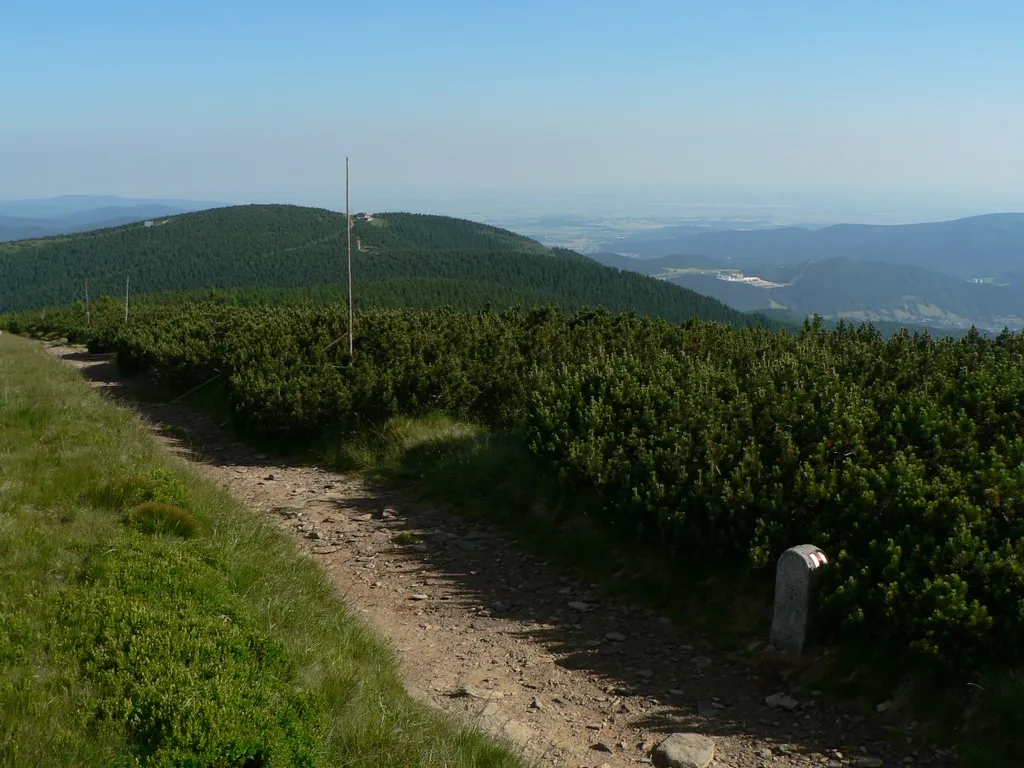 Šerák Mountain, Ostružná16 km SW
-
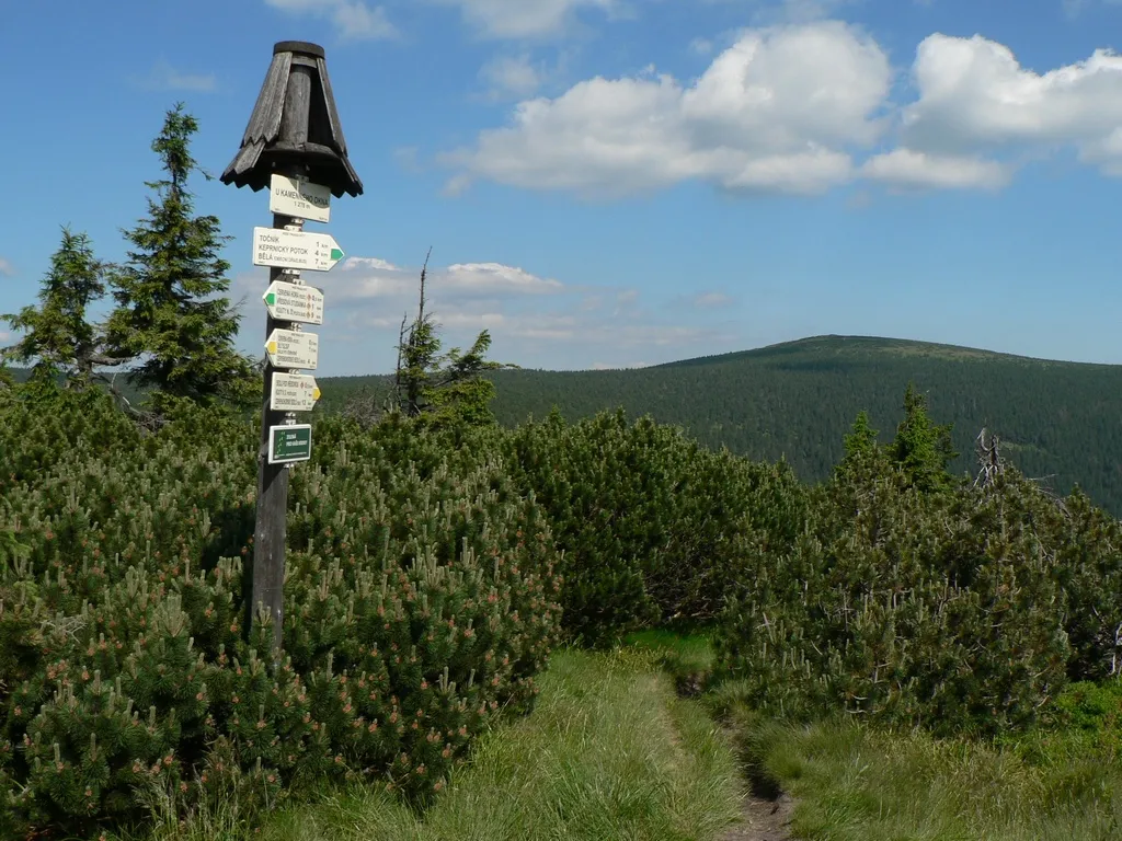 Keprník Mountain, Ostružná17 km S
-
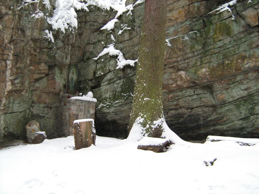 Zámecký pahorek Mountain, Zlaté Hory14 km SE
-
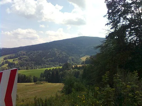 Příčný vrch Mountain, Zlaté Hory17 km SE
-
Tylna Kopa Mountain, Głuchołazy12 km E
-
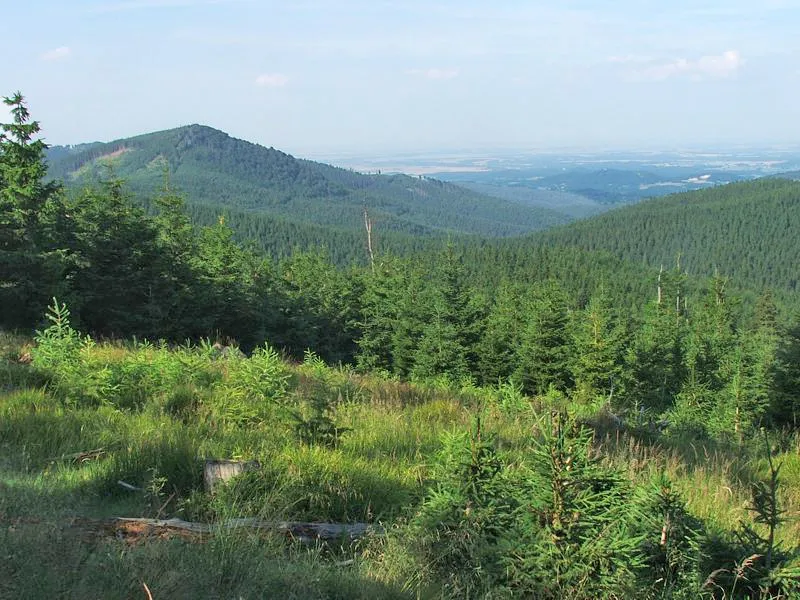 Kowadło Mountain, Gmina Stronie Śląskie14 km SW
Sources & licences
Data last updated: