- Population
- 565
- 565
- Elevation
- 595 m
- above sea level
- Local time
- UTC+01:00
- Europe/Prague · UTC+01:00
- Airports
- PED Pardubice Airport88 km
- OSR Leoš Janáček Airport Ostrava100 km
About Kunčice
Kunčice is a village. Location: Staré Město, Šumperk District. Population: 565. Elevation: 595 m. The best months to visit are June–August. The nearest airport is Pardubice Airport (88 km). Nearby sights include Kunčická hora and Větrov.
At a glance
- Area
- 21.1 km²
Source: Wikidata
Photos of Kunčice
-
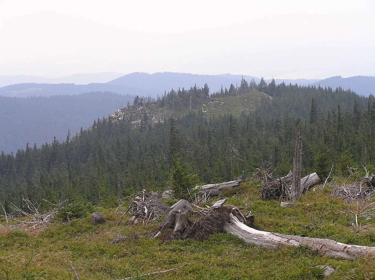
Stroma Petr Filippov · CC BY-SA 3.0 -
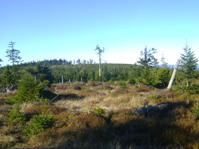
Smrek Timaska · CC BY-SA 3.0 -
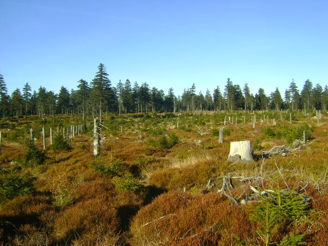
Postawna Timaska · CC0 -
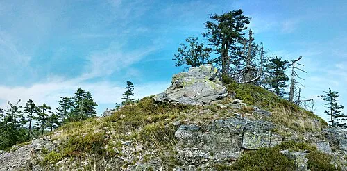
Brusek Maoman · Public domain -
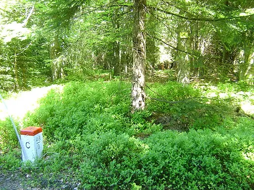
Dział Timaska · CC0


Population of Kunčice over time
| 1900 | 513 | |
|---|---|---|
| 1910 | 537 | |
| 1921 | 519 | |
| 1930 | 477 | |
| 1950 | 255 | |
| 1961 | 242 | |
| 1970 | 144 | |
| 1980 | 133 | |
| 1991 | 82 | |
| 2001 | 69 | |
| 2011 | 61 | |
| 2021 | 51 |
Censuses and official estimates; source: Wikidata.
Climate of Kunčice
Best months for sightseeingBest months for sightseeing: June–August.
This month · November
A cold month
Day 4° · Night -1° · Rain 44 mm
- Hottest month
- July (day 20°)
- Coldest month
- January (night -5°)
- Wettest month
- June (104 mm)
- Driest month
- February (33 mm)
Bars: average monthly low and high temperature. Below: precipitation. Monthly averages for 1970–2000 at about 18 km resolution, adjusted for elevation. Highlighted months are mild and relatively dry. Source: WorldClim 2.1 (CC BY 4.0).
Show values as a table
| Month | Jan | Feb | Mar | Apr | May | Jun | Jul | Aug | Sep | Oct | Nov | Dec |
|---|---|---|---|---|---|---|---|---|---|---|---|---|
| Average high (°C) | 0° | 1° | 5° | 10° | 15° | 18° | 20° | 20° | 15° | 10° | 4° | 1° |
| Average low (°C) | -5° | -5° | -2° | 1° | 6° | 9° | 11° | 10° | 8° | 4° | -1° | -3° |
| Precipitation (mm) | 36 | 33 | 35 | 45 | 73 | 104 | 97 | 96 | 61 | 46 | 44 | 46 |
How to get to Kunčice
The nearest airport is Pardubice Airport (PED), 88 km to the west as the crow flies. The nearest large city is Brno, 113 km to the south.
Airports
- Pardubice Airport (PED) Pardubice 88 kmwest
- Leoš Janáček Airport Ostrava (OSR) Mošnov 100 kmsoutheast
- Copernicus Wrocław Airport (WRO) Wrocław 102 kmnorth
Nearby large cities
- Brno Population: 404.3K 113 kmsouth
- Prague Population: 1.2M 181 kmwest
- Bratislava Population: 423.7K 227 kmsouth
- Dresden Population: 564.9K 246 kmnorthwest
- Győr Population: 129.3K 283 kmsouth
Straight-line distances; road distances are longer. Airport data: OurAirports.
Day trips from Kunčice
Within 100 km: 44 historic and cultural sites, 504 natural sites.
0–25 km127 places
- Sucha Kopa Mountain 7 kmN
- Goworek Mountain 9 kmW
- Mały Śnieżnik Mountain 9 kmW
- Stroma Mountain 8 kmNW
25–60 km198 places
- Ptak Mountain 52 kmNW
- Kłobuk Mountain 37 kmNW
- Leszek Mountain 41 kmNW
- Klimek Mountain 41 kmNW
60–100 km223 places
- Úsobrnka Natural site 69 kmS
- Czuba Mountain 86 kmNW
- Włodarz Mountain 68 kmNW
- Wielka Sowa Mountain 63 kmNW
Straight-line distances.
Nearby attractions & nature
Everything nearby-
Kunčická hora Mountain, Staré Město1.7 km N
-
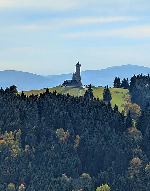 Větrov Mountain, Staré Město2.8 km E
-
Stolec Mountain, Staré Město3 km NE
-
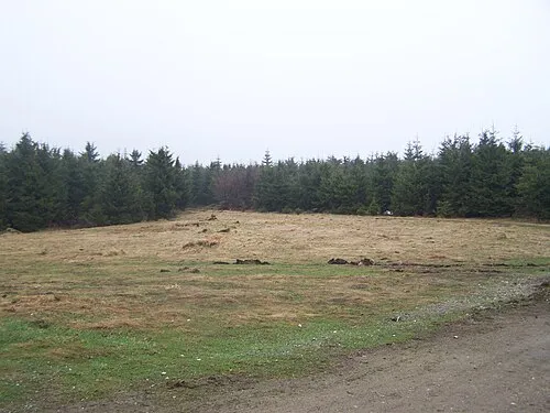 Palaš Mountain, Staré Město4.3 km NE
-
Skalna Mountain, Gmina Stronie Śląskie4.5 km N
-
Trnová hora Mountain, Staré Město5.8 km E
Sources & licences
Data last updated: · 2 independent sources