Ústí nad Orlicí District
Located in Pardubice Region, Czechia Coordinates: 50°00′00″ N 16°32′00″ E
- Population
- 138,301
- 138.3K
- Elevation
- 449 m
- above sea level
- Local time
- UTC+01:00
- Europe/Prague · UTC+01:00
- Places inside
- 115
- listed under Ústí nad Orlicí District
- Airports
- PED Pardubice Airport57 km
- BRQ Brno-Tuřany Airport95 km
About Ústí nad Orlicí District
Ústí nad Orlicí District is a district. Location: Pardubice Region, Czechia. Population: 138,301. The best months to visit are June–August. The nearest airport is Pardubice Airport (57 km). Nearby sights include Jeřáb and Šuráňkův Kopec.
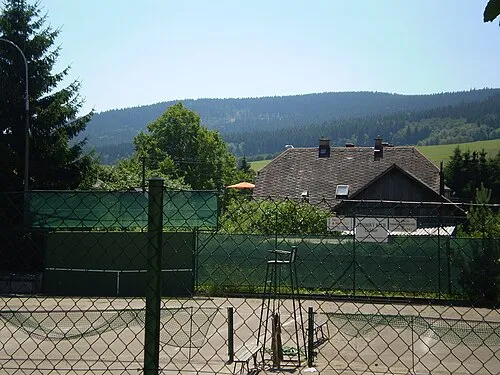
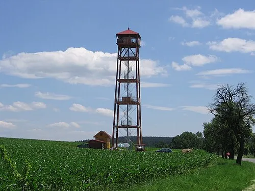
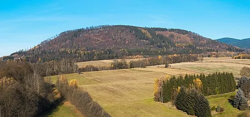
Photos of Ústí nad Orlicí District
-
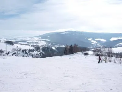
Vysoký Kámen Railfort · Public domain -
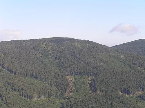
Hled'sebe Petr Filippov · CC BY-SA 3.0 -
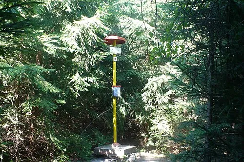
Palice Aeromix · CC BY 3.0 -
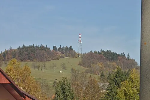
Lazek I would appreciate being notified if you use my work outside Wikimedia. More of my work can be found in my personal gall · CC BY-SA 4.0 -
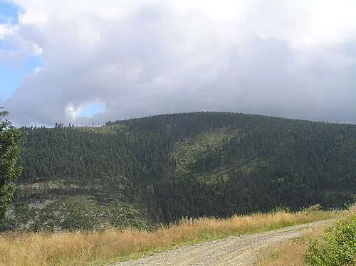
Podbělka Petr Filippov · CC BY-SA 3.0


Climate of Ústí nad Orlicí District
Best months for sightseeingBest months for sightseeing: June–August.
This month · November
A cold month
Day 5° · Night 0° · Rain 37 mm
- Hottest month
- August (day 22°)
- Coldest month
- January (night -5°)
- Wettest month
- June (88 mm)
- Driest month
- January (24 mm)
Bars: average monthly low and high temperature. Below: precipitation. Monthly averages for 1970–2000 at about 18 km resolution, adjusted for elevation. Highlighted months are mild and relatively dry. Source: WorldClim 2.1 (CC BY 4.0).
Show values as a table
| Month | Jan | Feb | Mar | Apr | May | Jun | Jul | Aug | Sep | Oct | Nov | Dec |
|---|---|---|---|---|---|---|---|---|---|---|---|---|
| Average high (°C) | 0° | 2° | 6° | 12° | 18° | 20° | 22° | 22° | 17° | 12° | 5° | 1° |
| Average low (°C) | -5° | -5° | -1° | 2° | 7° | 9° | 11° | 11° | 8° | 4° | 0° | -4° |
| Precipitation (mm) | 24 | 24 | 29 | 36 | 63 | 88 | 83 | 69 | 48 | 36 | 37 | 31 |
How to get to Ústí nad Orlicí District
The nearest airport is Pardubice Airport (PED), 57 km to the west as the crow flies. The nearest large city is Brno, 90 km to the south.
Airports
- Pardubice Airport (PED) Pardubice 57 kmwest
- Brno-Tuřany Airport (BRQ) Brno 95 kmsouth
- Leoš Janáček Airport Ostrava (OSR) Mošnov 118 kmeast
Nearby large cities
- Brno Population: 404.3K 90 kmsouth
- Prague Population: 1.2M 152 kmwest
- Bratislava Population: 423.7K 210 kmsouth
- Dresden Population: 564.9K 230 kmnorthwest
- Linz Population: 204.8K 250 kmsouthwest
Straight-line distances; road distances are longer. Airport data: OurAirports.
Day trips from Ústí nad Orlicí District
Within 100 km: 42 historic and cultural sites, 664 natural sites.
0–25 km36 places
- Opacz Mountain 22 kmNE
- Urwista Mountain 22 kmNE
- Sikornik Mountain 18 kmNE
- Dębosz Mountain 25 kmN
25–60 km259 places
- Sucha Kopa Mountain 40 kmNE
- Úsobrnka Natural site 50 kmS
- Goworek Mountain 29 kmNE
- Ptak Mountain 53 kmN
60–100 km411 places
- Královský vršek Mountain 94 kmSW
- Hořánck Mountain 91 kmW
- Czuba Mountain 89 kmN
- Włodarz Mountain 78 kmN
Straight-line distances.
Places in Ústí nad Orlicí District
115 placesCities & villages55
- Orličky · Municipality
- Ostrov · Municipality
- Oucmanice · Municipality
- Pastviny · Municipality
- Petrovice · Municipality
- Písečná · Municipality
- Plchovice · Municipality
- Podlesí · Municipality
- Přívrat · Municipality
- Pustina · Municipality
- Radhošť · Municipality
- Řepníky · Municipality
- Řetová · Municipality
- Řetůvka · Municipality
- Rudoltice · Municipality
- Rybník · Municipality
- Sázava · Municipality
- Seč · Municipality
- Šedivec · Municipality
- Semanín · Municipality
- Skořenice · Municipality
- Slatina · Municipality
- Sobkovice · Municipality
- Sopotnice · Municipality
- Sruby · Municipality
- Stradouň · Municipality
- Strážná · Municipality
- Studené · Municipality
- Sudislav nad Orlicí · Municipality
- Sudslava · Municipality
- Svatý Jiří · Municipality
- Tatenice · Municipality
- Těchonín · Municipality
- Tisová · Municipality
- Třebovice · Municipality
- Trpík · Municipality
- Týnišťko · Municipality
- Újezd u Chocně · Municipality
- Ústí nad Orlicí · Municipality
- Velká Skrovnice · Municipality
- Verměřovice · Municipality
- Vinary · Municipality
- Voděrady · Municipality
- Vraclav · Municipality
- Vračovice-Orlov · Municipality
- Výprachtice · Municipality
- Vysoké Mýto · Municipality
- Záchlumí · Municipality
- Zádolí · Municipality
- Zálší · Municipality
- Žamberk · Municipality
- Žampach · Municipality
- Zámrsk · Municipality
- Zářecká Lhota · Municipality
- Žichlínek · Municipality
Nature and heritage in Ústí nad Orlicí District
Nearby attractions & nature
Everything nearby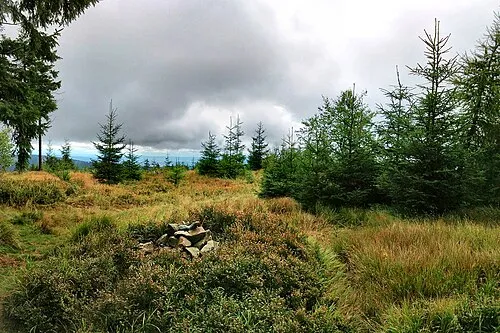
Sources & licences
Data last updated: