- Elevation
- 882 m
- above sea level
- Local time
- UTC+01:00
- Europe/Prague · UTC+01:00
- Airports
- KLV Karlovy Vary Airport85 km
- NUE Nuremberg Airport123 km
About Haltrava
Haltrava is a mountain. Location: Postřekov, Domažlice District. Elevation: 882 m. The best months to visit are June–August. The nearest airport is Karlovy Vary Airport (85 km). Nearby sights include Škarmanka and Sádek.
Climate of Haltrava
Best months for sightseeingBest months for sightseeing: June–August.
This month · November
A cold month
Day 3° · Night -2° · Rain 60 mm
- Hottest month
- July (day 19°)
- Coldest month
- January (night -6°)
- Wettest month
- July (103 mm)
- Driest month
- April (52 mm)
Bars: average monthly low and high temperature. Below: precipitation. Monthly averages for 1970–2000 at about 18 km resolution, adjusted for elevation. Highlighted months are mild and relatively dry. Source: WorldClim 2.1 (CC BY 4.0).
Show values as a table
| Month | Jan | Feb | Mar | Apr | May | Jun | Jul | Aug | Sep | Oct | Nov | Dec |
|---|---|---|---|---|---|---|---|---|---|---|---|---|
| Average high (°C) | -1° | 0° | 4° | 9° | 15° | 17° | 19° | 19° | 15° | 9° | 3° | 0° |
| Average low (°C) | -6° | -6° | -3° | -1° | 4° | 8° | 9° | 9° | 6° | 2° | -2° | -5° |
| Precipitation (mm) | 65 | 53 | 59 | 52 | 70 | 92 | 103 | 84 | 67 | 65 | 60 | 77 |
How to get to Haltrava
The nearest airport is Karlovy Vary Airport (KLV), 85 km to the north as the crow flies. The nearest large city is Regensburg, 68 km to the southwest.
Airports
- Karlovy Vary Airport (KLV) Karlovy Vary 85 kmnorth
- Nuremberg Airport (NUE) Nuremberg 123 kmwest
- Václav Havel Airport Prague (PRG) Prague 130 kmnortheast
Nearby large cities
- Regensburg Population: 151.4K 68 kmsouthwest
- Nuremberg Population: 515.5K 122 kmwest
- Ingolstadt Population: 120.7K 124 kmsouthwest
- Erlangen Population: 102.7K 128 kmwest
- Fürth Population: 132K 129 kmwest
Straight-line distances; road distances are longer. Airport data: OurAirports.
Nearest towns and villages
-
Díly Village, Díly1.6 km E
-
Postřekov Village, Postřekov3.5 km NE
-
Nemanice Village, Nemanice3.3 km W
-
Černá Řeka Village, Česká Kubice3.5 km S
-
Klenčí pod Čerchovem Village, Klenčí pod Čerchovem3.6 km E
-
Lísková Village, Nemanice4.4 km SW
Nearby attractions & nature
Everything nearby-
Škarmanka Mountain, Postřekov1.7 km NW
-
Sádek Mountain, Klenčí pod Čerchovem1.8 km SE
-
Bučina Mountain, Klenčí pod Čerchovem2.2 km S
-
Nad Vyhledy Mountain, Klenčí pod Čerchovem3.7 km SE
-
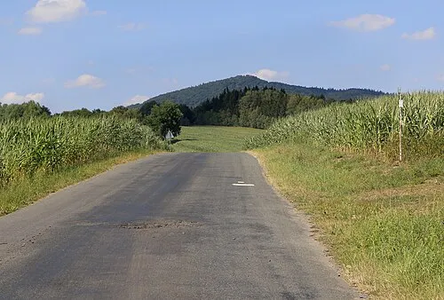 Starý Herštejn Mountain, Mnichov5.1 km NW
-
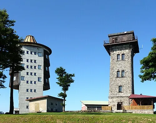 Čerchov Mountain, Česká Kubice6.6 km S
-
Skalka2 Mountain, Česká Kubice5.6 km S
-
Galgenberg Mountain, Waldmünchen5.6 km SW
Sources & licences
Data last updated: · 2 independent sources