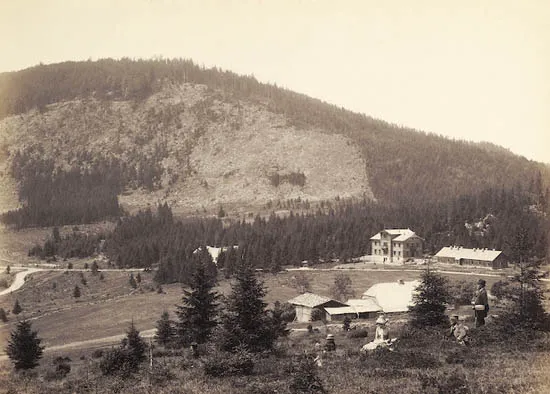
- Elevation
- 1,202 m
- above sea level
- Local time
- UTC+01:00
- Europe/Prague · UTC+01:00
- Airports
- JCL České Budějovice South Bohemian Airport93 km
- KLV Karlovy Vary Airport116 km
About Špičák
Špičák is a mountain. Location: Železná Ruda, Klatovy District. Elevation: 1,202 m. The best months to visit are July–August. The nearest airport is České Budějovice South Bohemian Airport (93 km). Nearby sights include Jezerní hora and Zwercheck.
Photos of Špičák
-

Adam Hauner · CC BY-SA 4.0 -

Roman Mifek · CC BY-SA 4.0 -

Sasik2 · CC BY-SA 3.0 -

Safranek-interia.eu · CC0 -

SchiDD · CC BY-SA 4.0


Climate of Špičák
Best months for sightseeingBest months for sightseeing: July–August.
This month · November
A cold month
Day 2° · Night -5° · Rain 80 mm
- Hottest month
- July (day 17°)
- Coldest month
- January (night -9°)
- Wettest month
- July (121 mm)
- Driest month
- April (60 mm)
Bars: average monthly low and high temperature. Below: precipitation. Monthly averages for 1970–2000 at about 18 km resolution, adjusted for elevation. Highlighted months are mild and relatively dry. Source: WorldClim 2.1 (CC BY 4.0).
Show values as a table
| Month | Jan | Feb | Mar | Apr | May | Jun | Jul | Aug | Sep | Oct | Nov | Dec |
|---|---|---|---|---|---|---|---|---|---|---|---|---|
| Average high (°C) | -2° | -1° | 3° | 7° | 13° | 15° | 17° | 17° | 13° | 8° | 2° | -2° |
| Average low (°C) | -9° | -9° | -6° | -3° | 2° | 5° | 7° | 7° | 4° | -1° | -5° | -7° |
| Precipitation (mm) | 90 | 69 | 79 | 60 | 77 | 104 | 121 | 94 | 79 | 75 | 80 | 105 |
How to get to Špičák
The nearest airport is České Budějovice South Bohemian Airport (JCL), 93 km to the east as the crow flies. The nearest large city is Regensburg, 83 km to the west.
Airports
- České Budějovice South Bohemian Airport (JCL) České Budějovice 93 kmeast
- Karlovy Vary Airport (KLV) Karlovy Vary 116 kmnorth
- Linz-Hörsching Airport (LNZ) Linz 127 kmsoutheast
Nearby large cities
- Regensburg Population: 151.4K 83 kmwest
- Linz Population: 204.8K 125 kmsoutheast
- Prague Population: 1.2M 134 kmnortheast
- Ingolstadt Population: 120.7K 138 kmwest
- Salzburg Population: 157.2K 153 kmsouth
Straight-line distances; road distances are longer. Airport data: OurAirports.
Day trips from Špičák
Within 100 km: 113 historic and cultural sites, 1,094 natural sites, 329 lakes, rivers and coasts.
0–25 km113 places
- Biber-Revier River 16 kmW
- Bohemian Forest Mountain 24 kmSW
- Kleiner Arber See Lake 8 kmSW
- Großer Arbersee Lake 9 kmSW
25–60 km476 places
- Isar River 45 kmS
- Rachelsee Lake 26 kmSE
- Neubäuer Weiher Lake 58 kmW
- Großer Hammerweiher Lake 52 kmW
60–100 km947 places
- Rannasee Lake 82 kmSE
- Teufelsschüssel Mountain 66 kmSE
- Zwiesel Berg Mountain 69 kmSE
- Lüftner Berg Mountain 96 kmSE
Straight-line distances.
Nearest towns and villages
-
Železná Ruda Village, Železná Ruda4.4 km SE
-
Bayerisch Eisenstein Village, Landkreis Regen6.3 km S
-
Bayerisch Eisenstein Village, Bayerisch Eisenstein6.3 km S
-
Lohberg Village, Cham7.7 km W
-
Lohberg Village, Lohberg7.5 km W
-
Neuhütte Village, Bayerisch Eisenstein5.4 km S
Nearby attractions & nature
Everything nearby-
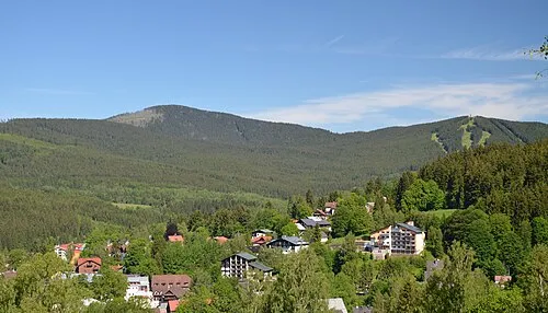 Jezerní hora Mountain, Železná Ruda1.7 km W
-
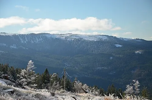 Zwercheck Mountain, Plzeň Region3 km W
-
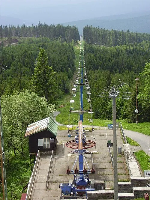 Pancíř Mountain, Železná Ruda3.4 km E
-
Zwerchecker Wald Natural site, Bavaria3.1 km W
-
Velký Kokrháč [Hamry na Šumavě] Mountain, Cham4.8 km W
-
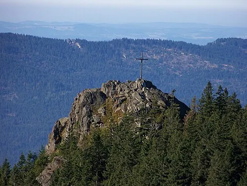 Kleiner Osser Mountain, Lam, Markt8.2 km NW
-
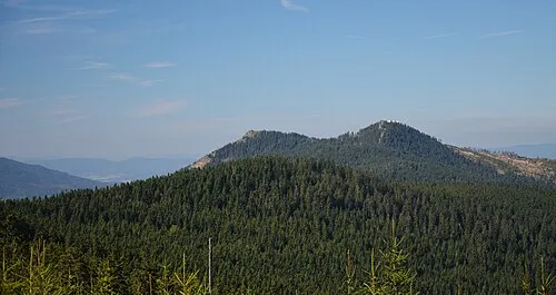 Osser Mountain, Lam, Markt7.9 km NW
-
Prenet Mountain, Železná Ruda7 km N
Sources & licences
Data last updated: · 2 independent sources