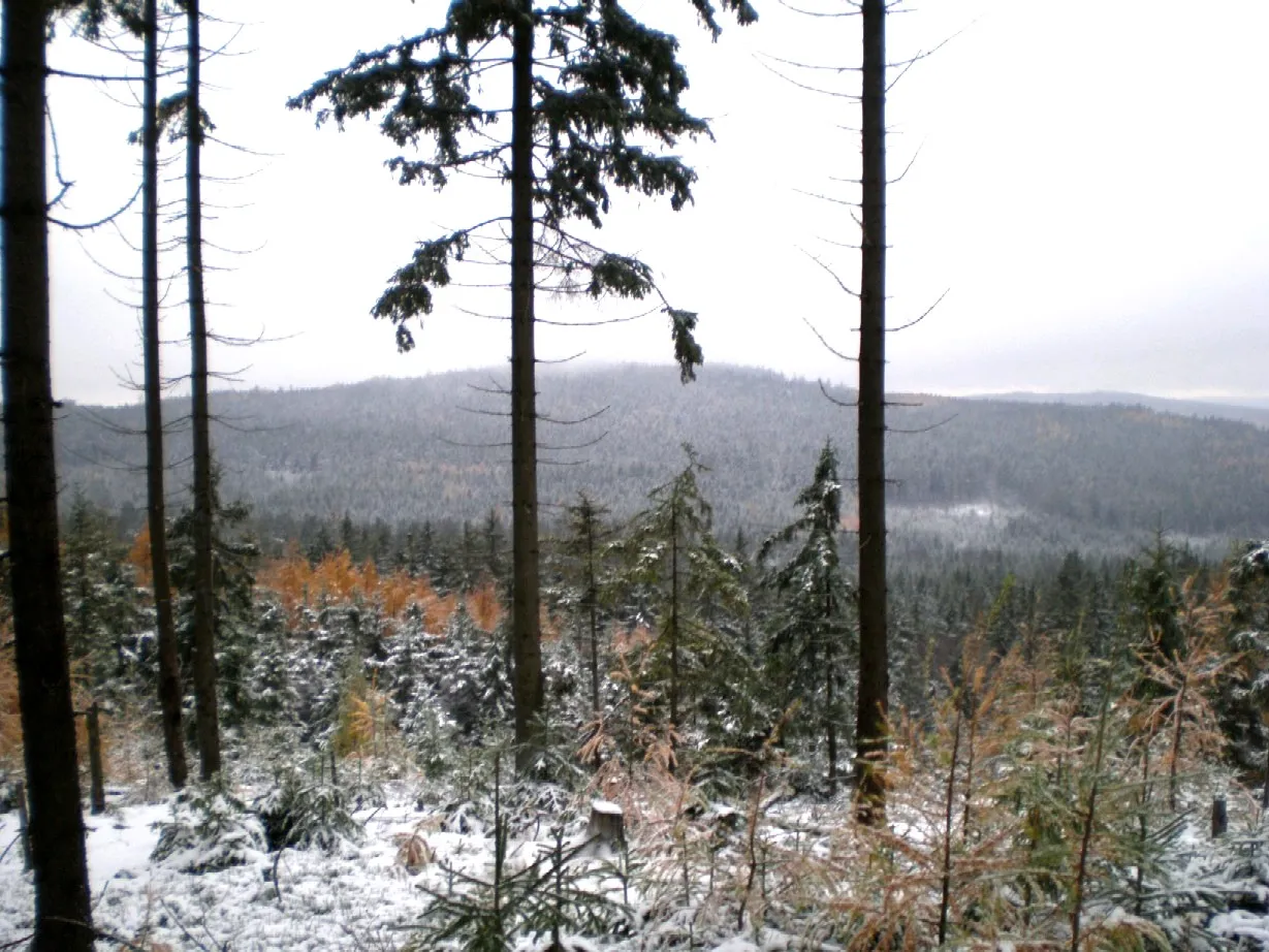
- Elevation
- 735 m
- above sea level
- Local time
- UTC+01:00
- Europe/Prague · UTC+01:00
- Airports
- PRG Václav Havel Airport Prague57 km
- KLV Karlovy Vary Airport83 km
About Kamenná
Kamenná is a mountain. Location: Strašice, Rokycany District. Elevation: 735 m. The best months to visit are June–August. The nearest airport is Václav Havel Airport Prague (57 km). Nearby sights include Vlč and Praha.
Climate of Kamenná
Best months for sightseeingBest months for sightseeing: June–August.
This month · November
A cold month
Day 4° · Night -2° · Rain 48 mm
- Hottest month
- July (day 21°)
- Coldest month
- January (night -6°)
- Wettest month
- July (91 mm)
- Driest month
- February (40 mm)
Bars: average monthly low and high temperature. Below: precipitation. Monthly averages for 1970–2000 at about 18 km resolution, adjusted for elevation. Highlighted months are mild and relatively dry. Source: WorldClim 2.1 (CC BY 4.0).
Show values as a table
| Month | Jan | Feb | Mar | Apr | May | Jun | Jul | Aug | Sep | Oct | Nov | Dec |
|---|---|---|---|---|---|---|---|---|---|---|---|---|
| Average high (°C) | -1° | 1° | 5° | 10° | 16° | 19° | 21° | 21° | 16° | 10° | 4° | 0° |
| Average low (°C) | -6° | -6° | -3° | 1° | 5° | 8° | 10° | 10° | 6° | 2° | -2° | -5° |
| Precipitation (mm) | 47 | 40 | 49 | 41 | 68 | 83 | 91 | 74 | 54 | 48 | 48 | 55 |
How to get to Kamenná
The nearest airport is Václav Havel Airport Prague (PRG), 57 km to the northeast as the crow flies. The nearest large city is Prague, 64 km to the northeast.
Airports
- Václav Havel Airport Prague (PRG) Prague 57 kmnortheast
- Karlovy Vary Airport (KLV) Karlovy Vary 83 kmnorthwest
- České Budějovice South Bohemian Airport (JCL) České Budějovice 96 kmsoutheast
Nearby large cities
- Prague Population: 1.2M 64 kmnortheast
- Chemnitz Population: 247.2K 140 kmnorthwest
- Regensburg Population: 151.4K 143 kmsouthwest
- Dresden Population: 564.9K 150 kmnorth
- Linz Population: 204.8K 159 kmsouth
Straight-line distances; road distances are longer. Airport data: OurAirports.
Day trips from Kamenná
Within 100 km: 39 historic and cultural sites, 565 natural sites, 83 lakes, rivers and coasts.
0–25 km20 places
- Holý vrch Mountain 21 kmN
- Velká Třemošná Mountain 13 kmE
- Třemšín Mountain 15 kmS
- Špalková hora [Hudčice] Mountain 21 kmSE
25–60 km55 places
- Zlatý vrch [Heřmaň] Mountain 58 kmSE
- Výška Mountain 42 kmNE
- Vysoký Mountain 58 kmS
- Vraní skála Mountain 28 kmNE
60–100 km612 places
- Biber-Revier River 79 kmSW
- Stoličná Mountain 87 kmNW
- Bohemian Forest Mountain 96 kmSW
- Český Les Mountain 91 kmW
Straight-line distances.
Nearest towns and villages
Nearby attractions & nature
Everything nearby-
Vlč Mountain, Central Bohemia3.9 km NW
-
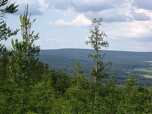 Praha Mountain, Věšín5.8 km SE
-
Hlava Mountain, Zaječov5.3 km NE
-
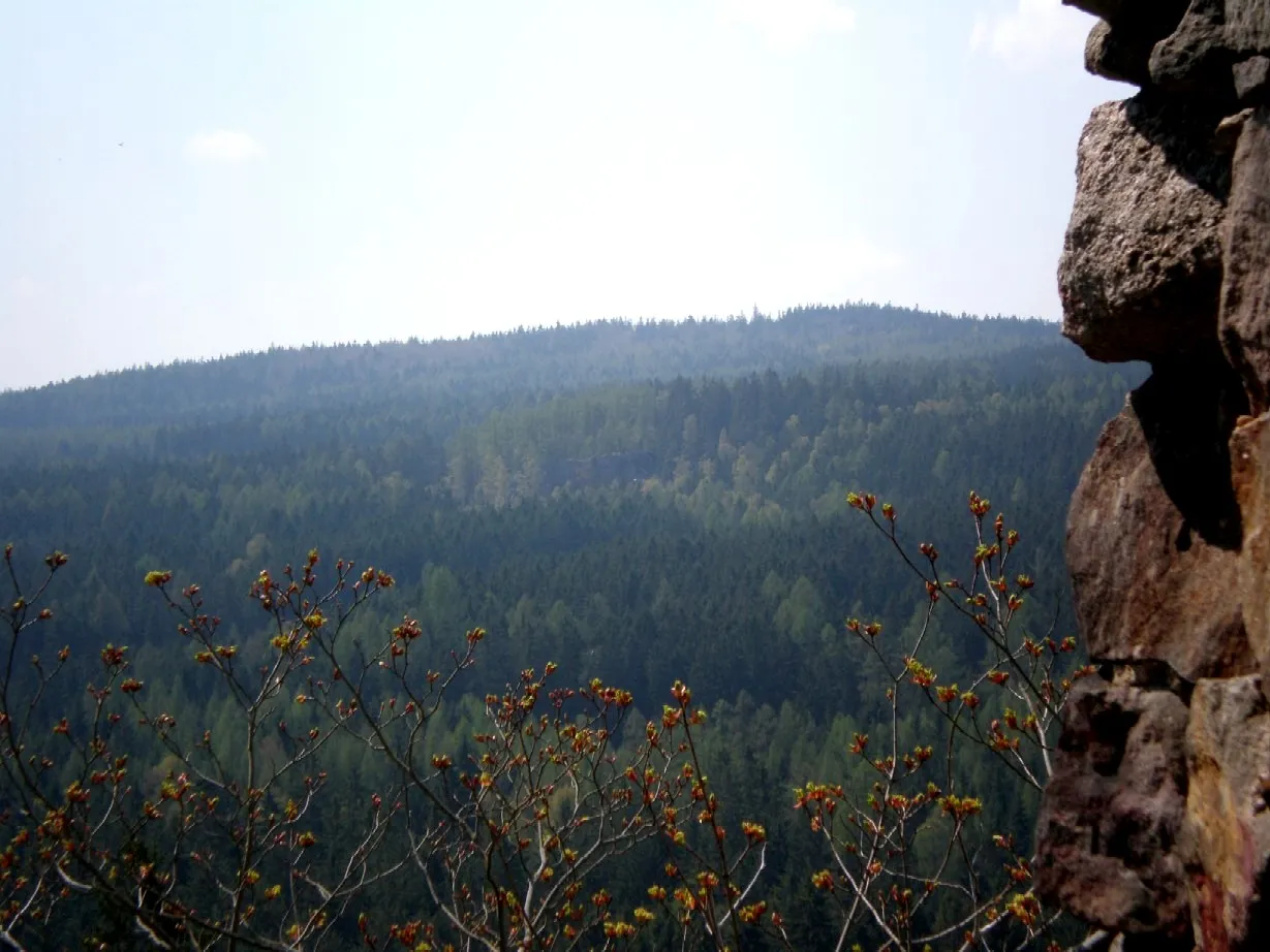 Beran Mountain, Zaječov10 km NE
-
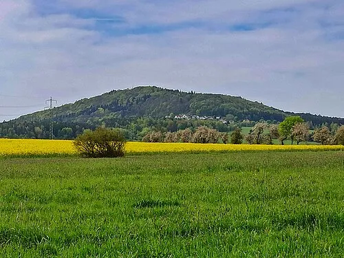 Jivina Mountain, Jivina11 km NE
-
Hejlák Mountain, Malá Víska10 km NE
-
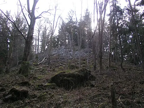 Velká Třemošná Mountain, Obecnice13 km E
-
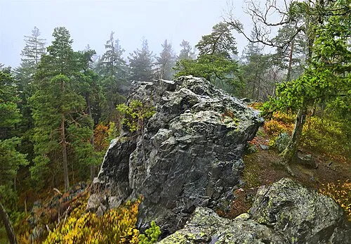 Nad Moráskem Mountain, Čížkov12 km S
Sources & licences
Data last updated: · 2 independent sources