Doubravice
Located in České Budějovice District, South Bohemian Region Coordinates: 48°56′07″ N 14°30′37″ E
- Elevation
- 492 m
- above sea level
- Local time
- UTC+01:00
- Europe/Prague · UTC+01:00
- Places inside
- 1
- listed under Doubravice
- Airports
- JCL České Budějovice South Bohemian Airport6 km
- LNZ Linz-Hörsching Airport81 km
About Doubravice
Doubravice is a municipality. Location: České Budějovice District, South Bohemian Region. Elevation: 492 m. The best months to visit are June–August. The nearest airport is České Budějovice South Bohemian Airport (6 km). Nearby sights include Český Krumlov Castle and Todeńská hora.
Climate of Doubravice
Best months for sightseeingBest months for sightseeing: June–August.
This month · November
A cold month
Day 6° · Night -1° · Rain 51 mm
- Hottest month
- August (day 23°)
- Coldest month
- January (night -5°)
- Wettest month
- July (95 mm)
- Driest month
- February (40 mm)
Bars: average monthly low and high temperature. Below: precipitation. Monthly averages for 1970–2000 at about 18 km resolution, adjusted for elevation. Highlighted months are mild and relatively dry. Source: WorldClim 2.1 (CC BY 4.0).
Show values as a table
| Month | Jan | Feb | Mar | Apr | May | Jun | Jul | Aug | Sep | Oct | Nov | Dec |
|---|---|---|---|---|---|---|---|---|---|---|---|---|
| Average high (°C) | 2° | 3° | 8° | 13° | 18° | 21° | 23° | 23° | 18° | 12° | 6° | 2° |
| Average low (°C) | -5° | -4° | -1° | 2° | 7° | 10° | 12° | 11° | 8° | 3° | -1° | -4° |
| Precipitation (mm) | 43 | 40 | 48 | 49 | 69 | 88 | 95 | 77 | 54 | 44 | 51 | 52 |
How to get to Doubravice
The nearest airport is České Budějovice South Bohemian Airport (JCL), 6 km to the west as the crow flies. The nearest large city is Linz, 72 km to the south.
Airports
- České Budějovice South Bohemian Airport (JCL) České Budějovice 6 kmwest
- Linz-Hörsching Airport (LNZ) Linz 81 kmsouth
- Václav Havel Airport Prague (PRG) Prague 131 kmnorth
Nearby large cities
- Linz Population: 204.8K 72 kmsouth
- Prague Population: 1.2M 128 kmnorth
- Brno Population: 404.3K 156 kmeast
- Salzburg Population: 157.2K 167 kmsouthwest
- Regensburg Population: 151.4K 177 kmwest
Straight-line distances; road distances are longer. Airport data: OurAirports.
Day trips from Doubravice
Within 100 km: 115 historic and cultural sites, 989 natural sites, 324 lakes, rivers and coasts.
0–25 km16 places
- Vysoká Běta Mountain 22 kmW
- Větrník Mountain 11 kmNE
- Velký Kameník Mountain 19 kmN
- Trosky Mountain 17 kmSE
25–60 km360 places
- Unter-Rosenhofer Teich Lake 43 kmS
- Ober-Rosenhofer Teich Lake 43 kmS
- Hutbühel Mountain 52 kmE
- Geißbühel Mountain 57 kmE
60–100 km1,052 places
- Královský vršek Mountain 95 kmNE
- Gassner Camel Riding School Natural site 94 kmSE
- Gusen I Concentration Camp Historic site 75 kmS
- Rannasee Lake 70 kmSW
Straight-line distances.
Places in Doubravice
1 placeBar: population relative to the most populous place in this list.
Nearby attractions & nature
Everything nearby-
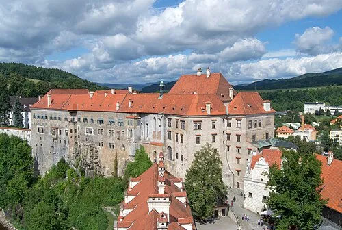 Český Krumlov Castle Historic site, Český Krumlov20 km SW
-
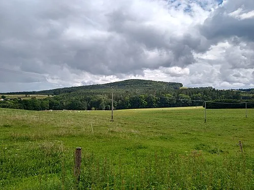 Todeńská hora Mountain, Trhové Sviny11 km S
-
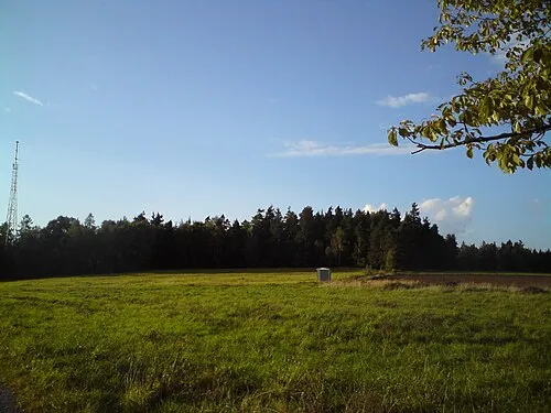 Větrník Mountain, Lišov11 km NE
-
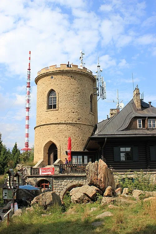 Kleť Mountain, Kájov18 km SW
-
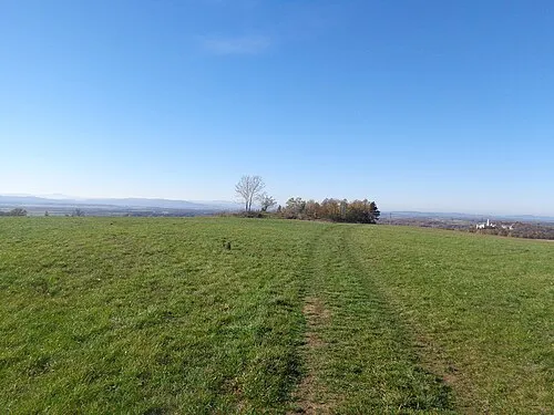 Račicky Mountain, Hosín12 km N
-
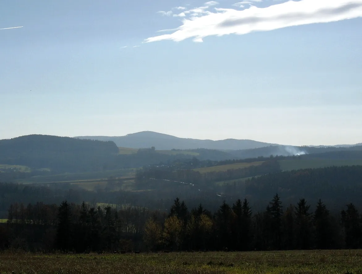 Kohout Mountain, Soběnov19 km S
-
Skalka Mountain, Jankov17 km W
-
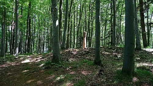 Stožíšek Mountain, Brloh22 km W
Sources & licences
Data last updated: